Tanzania – Arusha

2012.12.23~24The decision to visit Tanzania at the year end was really made during Thanksgiving holidays. It’s possible to get ready in such a short time is because I already did my research and had contacted several travel agencies, especially the one we finally chose, Base Camp Tanzania, when we struggled between the trip to Antarctica and Eastern Africa a year early. The trip was confirmed only a couple of days after Thanksgiving and we were on our way three weeks later.

Our trip started at Arusha, which is served by Kilimanjaro International Airport for international travelers. KLM is the only major airline offers direct flight to the airport. It was our longest connecting flights so far. We had totally 21 hours in the air. Layover time was shorter than our other trips, but we were lucky that there was no major delay and we arrived at JRO at 9pm local time on Dec. 23rd.

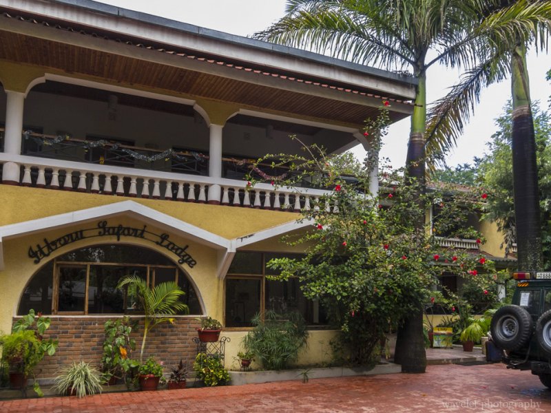
We met our guide, Justin, at the airport. He has a tall and strong figure and looks very humble. He will be our only guide and driver for the next 9 days. From the Airport to Arusha, the road was mildly uphill most of time, Our car was particularly slow. This 35-mile took us almost one and half hours. After we entered the town, the car turned off the main street to a very rough dirt road. We were tossed up and down for another 10 minutes. As we started wondering what this seemingly endless bumpy road would lead us to, we arrived at our destination, Ilboru Safari Lodge.

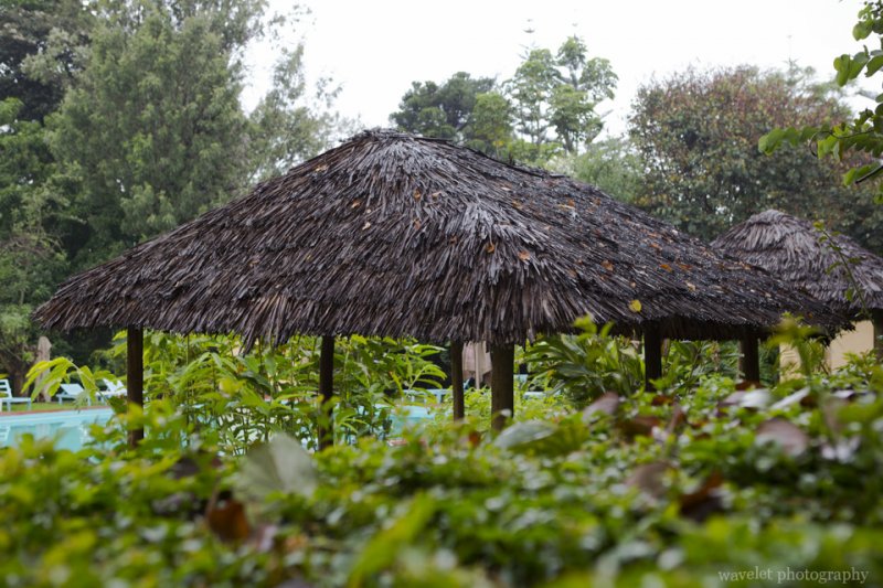
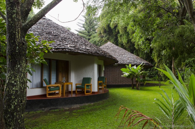
We had a room in round shape, probably modeled after the Maasai huts. It soon started raining. There were some small issues with the room, such as the shower and power outlet, but the room was spacious and comfortable. Although it’s already dark when we checked in, I could feel that we were surrounded by lush plants. The next morning, I had a chance to walk around the garden.

Rooms in Ilboru Safari Lodge, Arusha, Tanzania
Our room in Ilboru Safari Lodge, Arusha, Tanzania
Ilboru Safari Lodge, Arusha, Tanzania
Garden and pool in Ilboru Safari Lodge, Arusha, Tanzania
Ilboru Safari Lodge, Arusha, Tanzania
Front yard of Ilboru Safari Lodge, Arusha, Tanzania
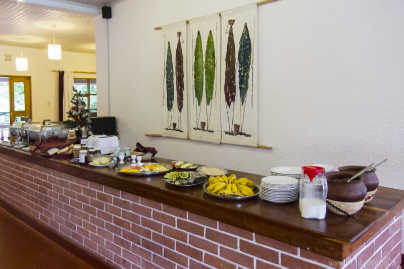
Breakfast at Ilboru Safari Lodge, Arusha, Tanzania
The breakfast, Ilboru Safari Lodge, Arusha, Tanzania

Arush is the capital city of the Arusha Region of Tanzania. We didn’t have opportunity to spend time in the city, but merely passing through the city center several times on our car. Although the city is a political hub for Eastern African international issues, Arusha remains a small and rural town. However, it doesn’t mean it’s not vital – a lot of people on the streets and the roads are jammed by cars during rush hours, especially the only one road coming in and out of the town. Compared to the busy town outside, the lodge is like an oasis.

After coming back from Arush National Park on our first day, the owner of our tour company, Achmed, came to visit us. He helped us setup the tour in very short time and was very responsive to all our questions. He is a British man who is also half German and have lived in Tanzania for more than 20 years. We had a beer in the lodge’s German Beer Garden. Achmed went over our itinerary and noted special features of each park. He also stressed that if we wanted to go to the toilet while in safari, just go to the back of the jeep, instead of hiding behind the bush. Still recovering from the time difference, we could barely keep our eyes open lately. There is one thing I still remember – the reason he prefers living in Tanzania, given the government corruptions and lower living conditions, is because “there is no puppet law in this country”.

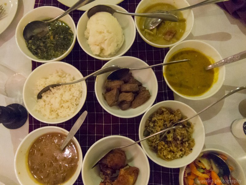
At the dinner, the waitress obviously forgot that we didn’t have the dinner the previous night because we came too late, but we managed to get their local Swahili cuisine that only offers to the guests on their first night. The dinner came in as small dishes, including Machalari, Ugali (maize flour paste), Sukuma Wiki, beef stew and barbecue plates. The food were quite salty, some of them had tastes of Indian dishes.
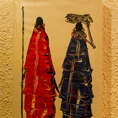
Swahili dishes at dinner, Ilboru Safari Lodge, Arusha, Tanzania
Small Swahili dishes at dinner, Ilboru Safari Lodge, Arusha, Tanzania
0 Comments

Alaska – Denali National Park

2012.8.31~9.1We resupplied at Fred Meyer supermarket and left Fairbanks to Denali National Park in the morning. We drove west on AK-4. It soon became George Parks Highway (AK-3) once we were out of the city. Connecting Anchorage and Fairbanks and providing the major access to Denali National Park, George Parks Highway is one of the most important roads in state Alaska. However, the mountain range around the area is mild and the road side view is less dramatic compared to the Richardson Highway.

George Parks Highway, Alaska

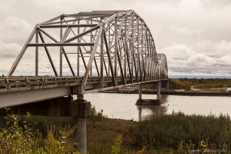
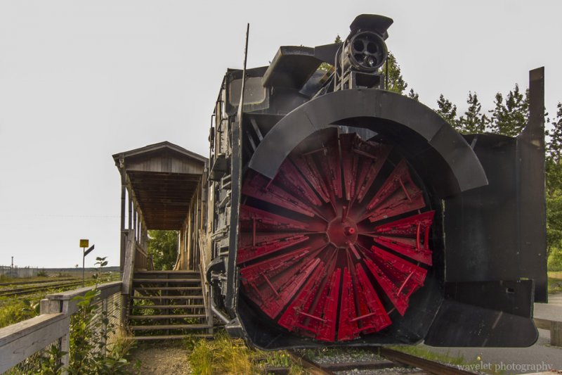
We reached Nenana at the noon time. This is a small town 55 miles south of Fairbanks, at the juncture of the Nenana River and the Tanana River. The discovery of gold in Fairbanks brought prosperity and train access to the town, but it had no road access to Fairbanks until the bridge was constructed in 1968. The completion of George Parks Highway in 1971 gave the town a direct route to Anchorage. We made a brief stop at the railway station and a gift shop in the town.

Mears Memorial Bridge over the Tanana River, Nenana, Alaska
Nenana, Alaska
Nenana, Alaska

it’s been cloudy all the way since we left Fairbanks. At about 1:30pm, we entered Denali National Park and Preserve area. Only 1 mile north to the park’s entrance, overlooking the Nenana River, there is a large area full of lodging and restaurant options. It has maybe the only traffic light in the whole stretch of the George Parks Highway. We took a quick stop and decided to see the park first before going to our lodge.

Near Denali National Park, Alaska
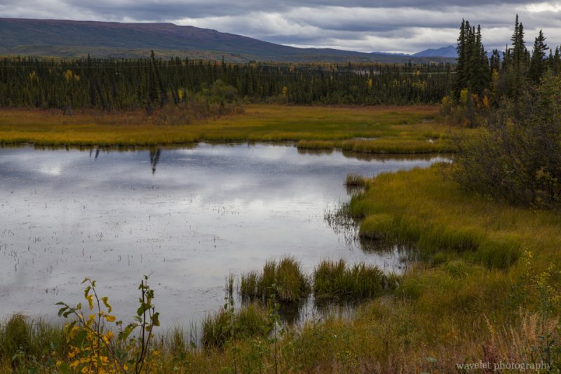
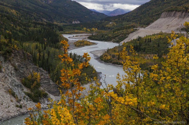
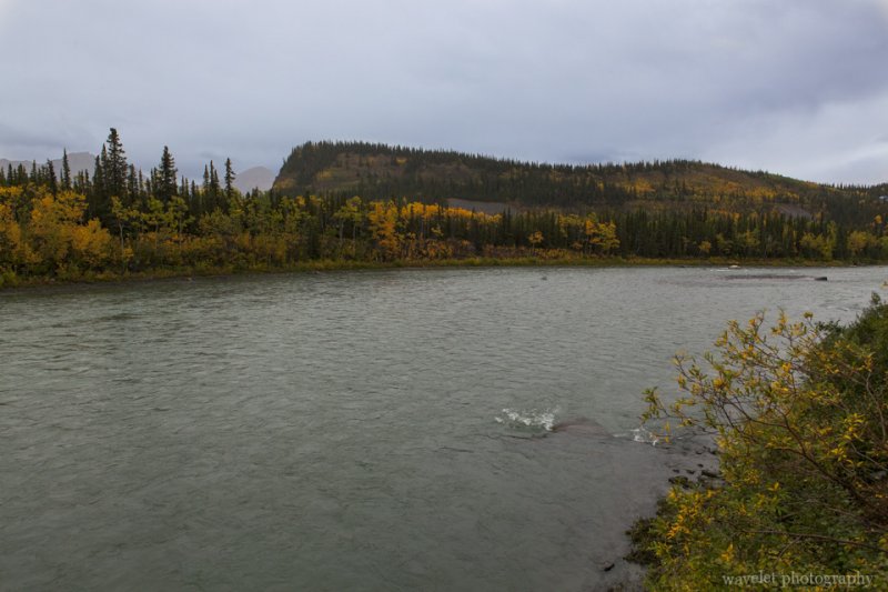
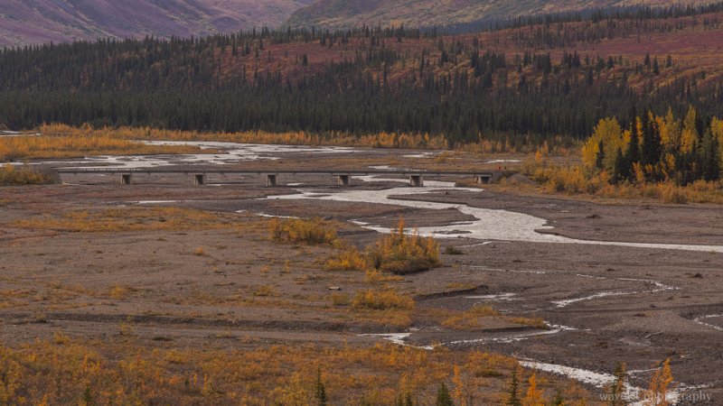
Nenana river, between Healy and the entrance of Denali National Park, Alaska

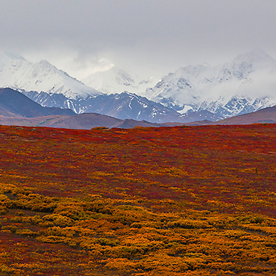
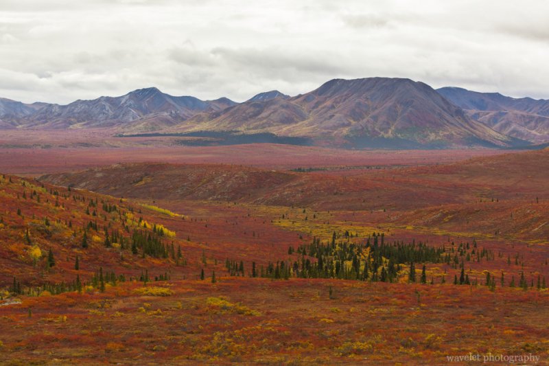
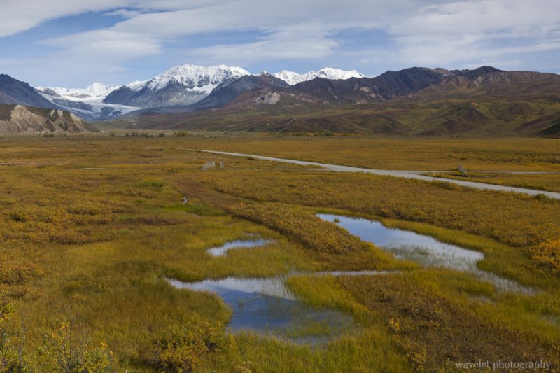
We picked up our tour ticket for the next day at the Wilderness Access Center and stopped by the Denali Visitor Center. They are located at the beginning of the Park Road. The first 15 miles of the Park Road is open to private vehicles. We came to Alaska in late tourism season in September, which sees more rains, but also offers unbeatable view of fall colors and tundra field. A couple of miles into the park, we found ourselves surrounded by the seemingly endless red and purple sea of tundra. Tundra is dwarfed shrubs adapted to the short growing season. They blossom in August and turned to brilliant colors in the fall.

Denali National Park, Alaska
Tundra panorama in Denali National Park dotted by spruces, Alaska
Denali National Park, Alaska
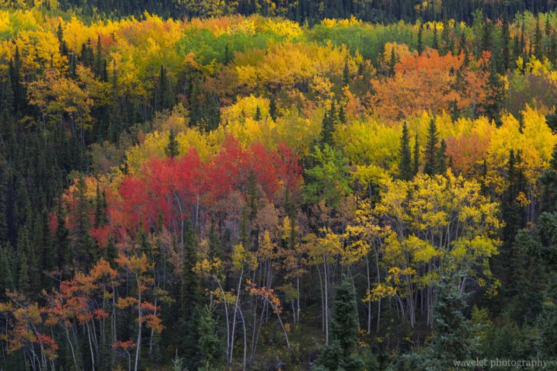
Fall color of Denali National Park, Alaska
Denali National Park, Alaska
Fall color of Denali National Park, Alaska

It’s a good decision to see the park first. It started raining at the time we turned back at about the 12 mile mark. Our lodge, McKinley Village Lodge, is 7 miles south of the park entrance. It’s a large facility with multiple buildings. The lobby was warm and cozy. The lodge was built along the Nenana river bank. One of our rooms got the river view.

The section of Nenana River where McKinley Village Lodge is located, Alaska

Our Denali National Park bus tour started at 7:30am the next day. We waited at the Wilderness Access Center half an hour before the shuttle bus came to pick us up. We chose the tour that reaches Eielson Visitor Center that is located at Mile 66 of the park road. The round-trip time is about 8 hours. It’s a good duration considering that we had to keep some strength to drive back to Anchorage at the night. The furthest point that the shuttle bus can take you is Kantishna at Mile 92, but most visitors who are willing to go that far probably camp at Wonder Lake at Mile 85.

The sighting is generally better if you sit on the left side of the bus, which offers more open views of the river and the valley on the way going into the park. It’s also more “scarier” when the bus runs on the cliff at some section of the road. On the way back, you would most likely fall asleep anyway. Our guide was funny. He almost keep talking all the way without stop. The tour is somewhat disappointing mainly because of the weather. We had a grey day and animals were rare. We didn’t see Mt. McKinley at the Eielson Visitor Center because of the cloud. (The rangers also kept us inside because some bears were around.)

Denali National Park, Alaska
Tundra in wonderful display as we just passed the check point where private vehicles have to turn back, Denali National Park, Alaska
Denali National Park, Alaska
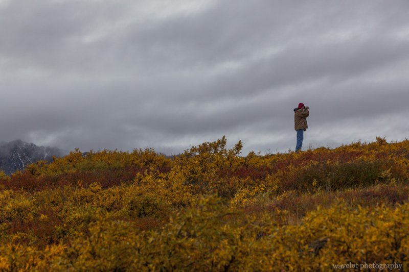
The park offers hiking options in the total wilderness, Denali National Park, Alaska
Stony Hill Overlook, Denali National Park, Alaska
At Stony Hill Overlook where we should supposedly see Mt. McKinley in a clear day, Denali National Park, Alaska
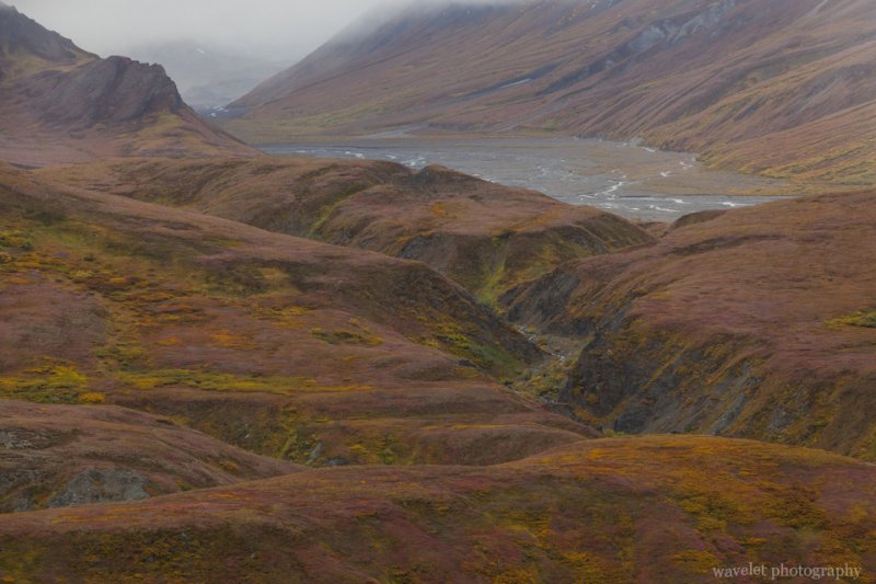
Denali National Park, Alaska
Only tundra no taiga near Eielson Visitor Center, Denali National Park, Alaska
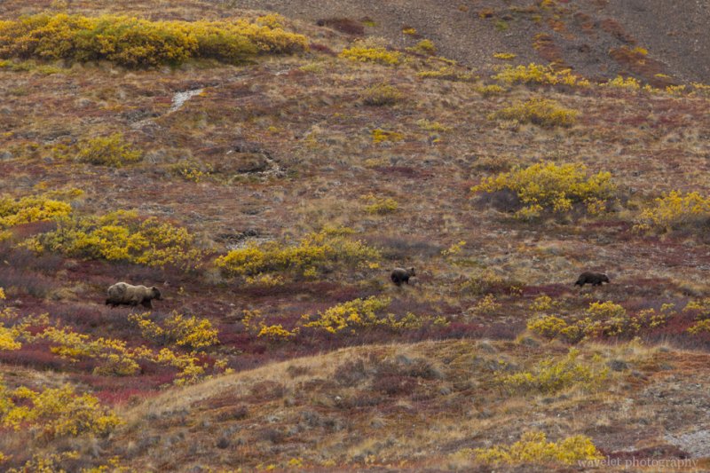
Bears, Denali National Park, Alaska
A bear with her two cubs, Denali National Park, Alaska
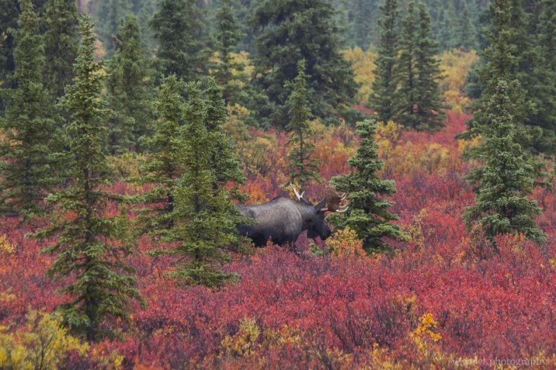
Bull Moose, Denali National Park, Alaska
A Bull Moose near the entrance of Denali National Park, Alaska

We returned to the Wilderness Access Center a little before 4:00pm. We left the park immediately – we had 240 miles to drive to get to Anchorage. The rain stopped and started. It’s raining very hard near Wasilla. Somehow we managed to beat the time to step into the VIP Korean restaurant that we liked so much before its close. (We ordered the food while driving as we were approaching Anchorage).

We had some time to stop by the University of Alaska Anchorage in the next day morning, before we took the flight heading home at noon.

2 Comments

Alaska – Fairbanks

2012.8.30Fairbanks is located in the Alaska Interior, half way between the Gulf of Alaska and Arctic Ocean. It’s second largest city of the state. At latitude of 64 degree north, Fairbanks’ summer sees long hours of sun light, but as it enters September, the daytime is shortened by an hour every week. The winter is long and cold. The temperature can often reach −30 °F. However, locals don’t see it as an inconvenience. They wear heavy coats with only T-shirts inside, so they can quickly adjust to the difference between the indoor and outdoor temperatures.

We came to Fairbanks with very little expectation to see Aurora – the northern lights. The auroral activity was only 1 or 2 for the two nights that we were there. Because Fairbanks is in the central of Tanana Valley, the sky is often cloudy in the night. It’s said that the chance is better if you drive north away from the city and up to the mountains. Some lodges there also offer the Aurora Viewing programs with hefty price. As I knew the chance was very low in September, other than opening the window to watch the sky from time to time, we didn’t do anything.

In the morning, we first went to the Trans-Alaska Pipeline visitor center, which is located only 10 miles north of Fairbanks. The pipeline is one of the largest projects of its kind. Although controversial, it’s truly a man-made wonder and solved many difficulties to deal with permafrost and earthquake faults to being financially and environmentally feasible.

Trans-Alaska Pipeline visitor center, Fairbanks, Alaska

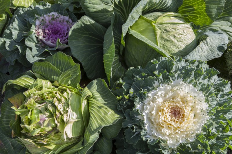
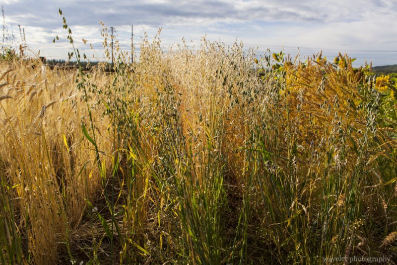
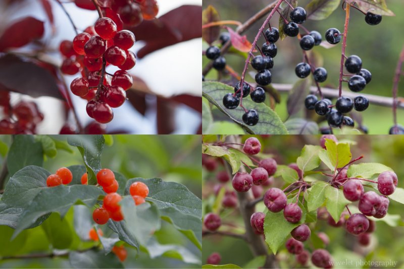
We then went to see the Georgeson Botanical Garden. It’s a lovely garden with many species, which is specially challenging consider Fairbanks’ northern environment. The garden is within University of Alaska Fairbanks’ campus and serves as the field ground to study subarctic horticulture.

Georgeson Botanical Garden, Fairbanks, Alaska
Huge cabbage in Georgeson Botanical Garden, Fairbanks, Alaska
Georgeson Botanical Garden, Fairbanks, Alaska
Different species of wheat in Georgeson Botanical Garden, Fairbanks, Alaska
Alaska Berries, Georgeson Botanical Garden, Fairbanks, Alaska
Berries of Alaska, Georgeson Botanical Garden, Fairbanks, Alaska

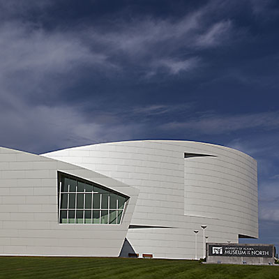
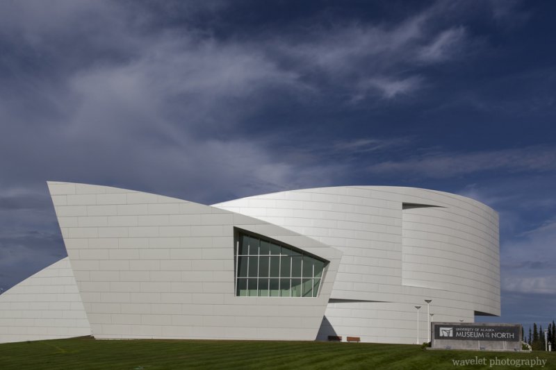
We drove back to the main campus of University of Alaska Fairbanks and walked around the Museum of North.

University of Alaska at Fairbanks, Alaska
University of Alaska at Fairbanks’ campus, Alaska
University of Alaska Museum of the North, Fairbanks, Alaska

There are not many choices for restaurants in Fairbanks, but a Japanese Restaurant with a very plain appearance named Ajimi is one of the best.

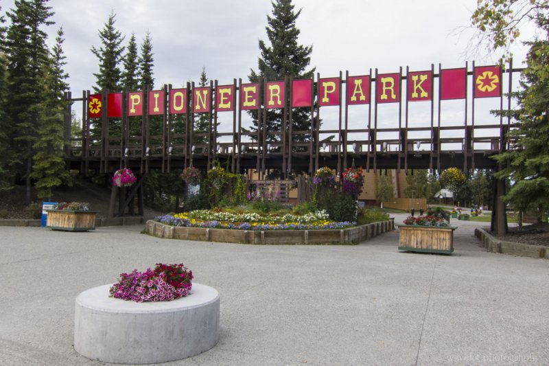
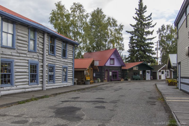
Our first stop in the afternoon is Morris Thompson Cultural & Visitors Center located in the downtown. There were some informative displays and video here. It’s a good free “museum” to spend a hour or so. After that, we went to the Pioneer Park. It’s a park that was built to celebrate the 100th anniversary of the purchase of Alaska from Russia. Later, some old cabins were moved to the place and it has became a historic park that mimics a gold-rush town and demonstrates living environments of the early settlers.

Pioneer Park, Fairbanks, Alaska
0 Comments

Alaska – Anchorage to Fairbanks

2012.8.28~29From Anchorage to Fairbanks, we would take Glenn Highway (AK-1) and then Richardson Highway (AK-4 and AK-2). We’d go to Denali National Park later in our trip, At that time, we would go back to Anchorage by the shorter route, AK-3, to complete a loop.

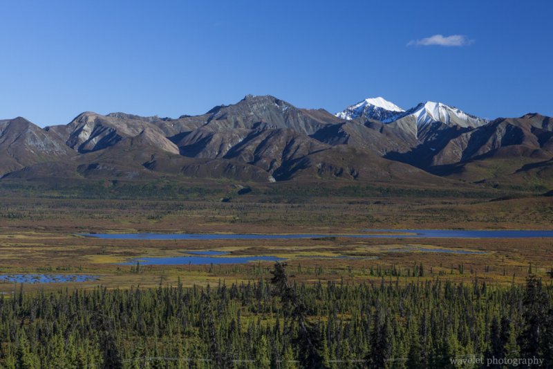
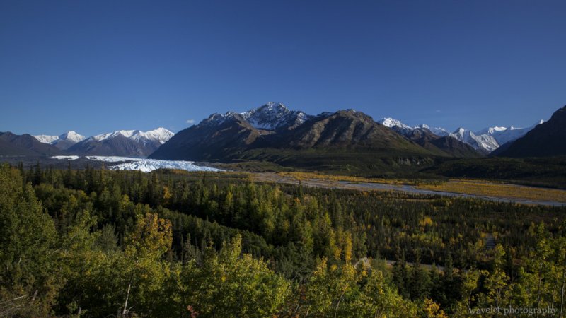
The first 40 miles of the Glenn Highway is the only road access to Anchorage from the north. After this section of the busy road, as we turned east after passing Palmer, the vehicles were getting fewer and fewer. The highway runs along the south side of the Alaska Range and, for the most part, along the Matanuska River. The road is winding and climbs over Eureka Summit at 3,332 ft. There are many pullout places for you to view the beautify valley created by the receding Matanuska Glacier.

Mountain range by the Glenn Highway, Alaska
Mountain range and glacier lakes by the Glenn Highway, Alaska
Matanuska Glacier, Alaska
Matanuska Glacier, about 100 miles north-east of Anchorage, Alaska

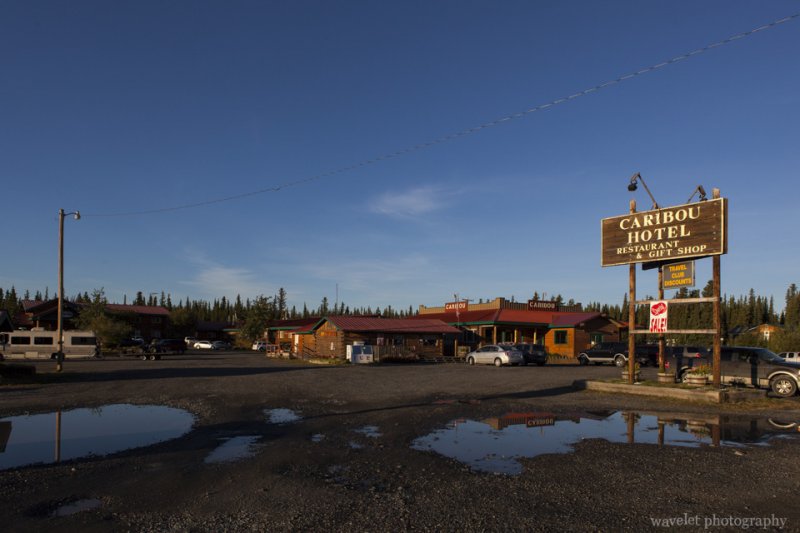
The 180-mile Glenn Highway took us almost 5 hours. We stayed over night at Caribou Hotel in Glennallen. Some travelers gave low rating to the hotel, but we found it to be nice and most importantly clean, and the front desk was very helpful too. It’s not cheap, but this is in the middle of nowhere, I don’t think you should expect full facilities.

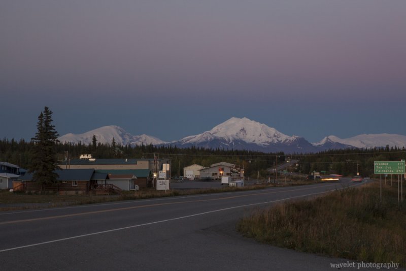
Mount Drum, Glennallen, Alaska
Overlook Mount Drum from Glennallen at sunset, Alaska
Caribou Hotel, Glennallen, Alaska

The next morning, I went back 10 miles along the highway and found the beautify lake we passed by the early night. The view was wonderful in the sunrise.

A lake in Sunrise, near Glennallen, Alaska
A lake in sunrise, 10 miles west to Glennallen, Alaska

After having some instant noodles as our breakfast, we were on our way at 9:30am. After 2 miles, we turned left onto the Richardson Highway (AK-4). The highway cut through the Alaska Range at its east end, the view continued to be breathtaking.

Richardson Highway (AK-4), Alaska
Summit Lake on Richardson Highway (AK-4), Alaska
Richardson Highway (AK-4), Alaska
Richardson Highway (AK-4) near Summit Lake, Alaska
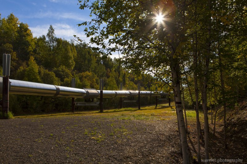
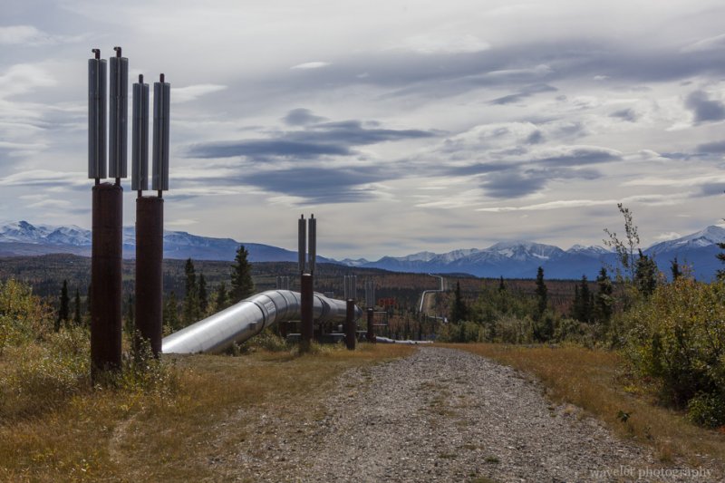
Trans-Alaska Pipeline, Richardson Highway (AK-2), Alaska
Most of time, Richardson Highway run parallelly with Trans-Alaska Pipeline. This is one crossing section (63° 44′ 47″N, 145° 50′ 30″W)

AK-4 meets AK-2 at Delta Junction. There are several military bases around the area. Driving through the town, we surprisingly saw a sign as “Chinese Food”. We decided to give it a try. Luckily, it’s eatable. It’s about 3pm, we were 100 miles away from Fairbanks. As we had passed Alaska Range, the view along the road is less impressive.

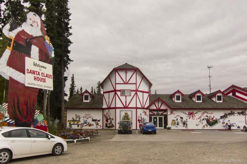
15 miles south-east to Fairbanks, lies a small city, North Pole, Alaska. After driving the whole day, it felt good to see a meaningful city. Thanks for city’s name, a gift shop named Santa Claus House becomes a popular attraction. We made a stop at the store. It’s a nice place. There was a Santa taking pictures with visitors all the time.

Santa Claus' House, North Pole, Alaska
Santa Claus House, North Pole, Alaska

We reached Fairbanks at around 6pm. We would stay two nights in the city.

0 Comments

Alaska – Seward to Anchorage

2012.8.27~28The second day morning, we did some souvenir shopping and had a walk in the Waterfront Park before setting off to the Exit Glacier.

Waterfront Park, Seward, Alaska
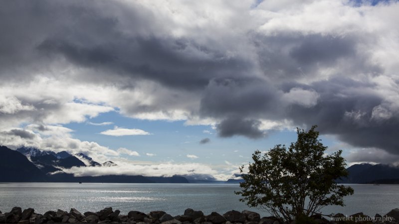
View the Resurrection Bay from the Waterfront Park, Seward, Alaska
4th Ave., Seward, Alaska
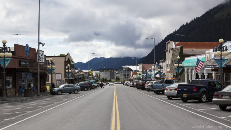
Seward’s main street, 4th Avenue, Alaska

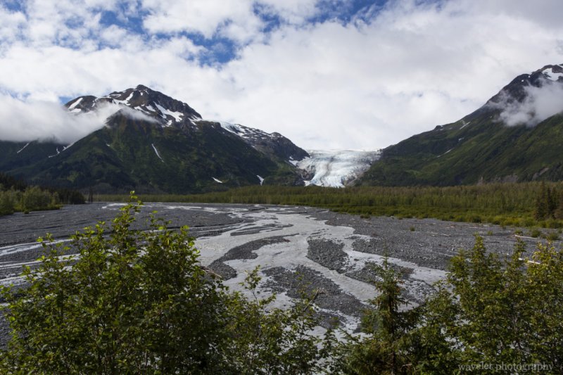
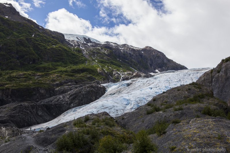
Exit Glacier is the only part of Kenai Fjords National Park that can be accessed by road. It is one of tens of glaciers descending from the Harding Icefield, which covers most of the Kenai Peninsula. From the parking lot, the 3-mile round trip trail can take visitors to the edge of the glacier and the vista point that offers panoramic view of the glacier by the outwash plain. The trail is well maintained and easy to walk. My parents had no problem walking to the wall of ice.

Exit Glacier, Kenai Peninsula, Alaska
Overlook Exit Glacier, Kenai Peninsula, Alaska
Exit Glacier, Kenai Peninsula, Alaska
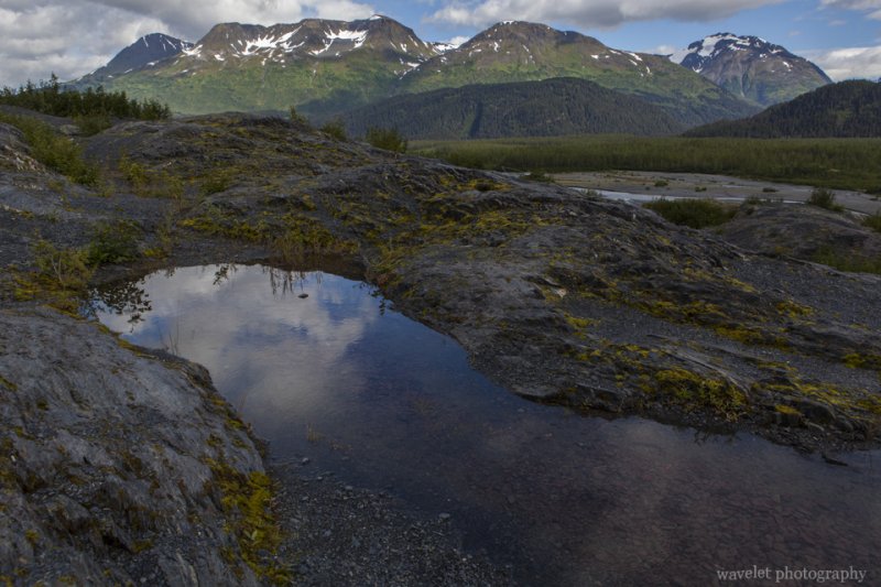
Cottonwood forest at Exit Glacier, Kenai Peninsula, Alaska

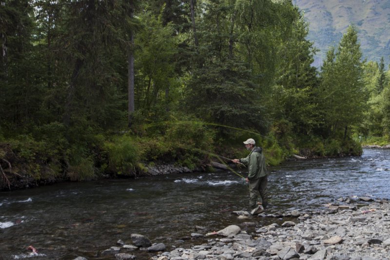
We left Exit Glacier at 2pm and on our way to Anchorage. We made several stops, such as Bear Creek, on AK-9 and tried to watch Alaska Salmon migration, but eventually we had to go west onto the Sterling Highway until Russian River. There is a large campground by the river. . We walked down to the river level. The water is clear and the condition is excellent for sport fishing. Thousands of salmons swam up the stream to the Russian Lakes where they spawn. The part we went to might be towards the end of the salmon runs. The fish had transformed into deep red color and a lot of them were already dead.

Russian River sport fishing, Alaska
Sport fishing at Russian River, Alaska

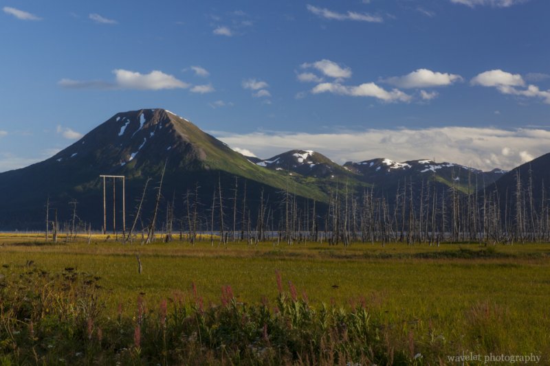
Returning to the Seward Highway, we had no plan for the rest of the day. We drove leisurely and enjoyed the sunset on this beautiful scenic drive.

Near the junction of Seward Highway and the Sterling Highway, Alaska
Near the “Y”, the junction of Seward Highway and the Sterling Highway, Alaska
By the Seward Highway near Girdwood, Alaska
Near Girdwood by the Seward Highway, Alaska

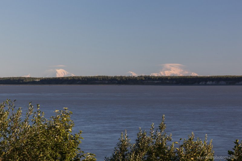
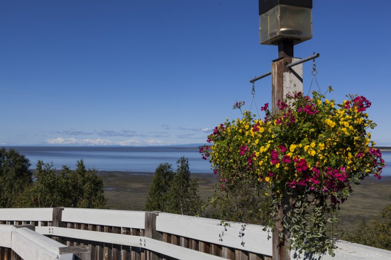
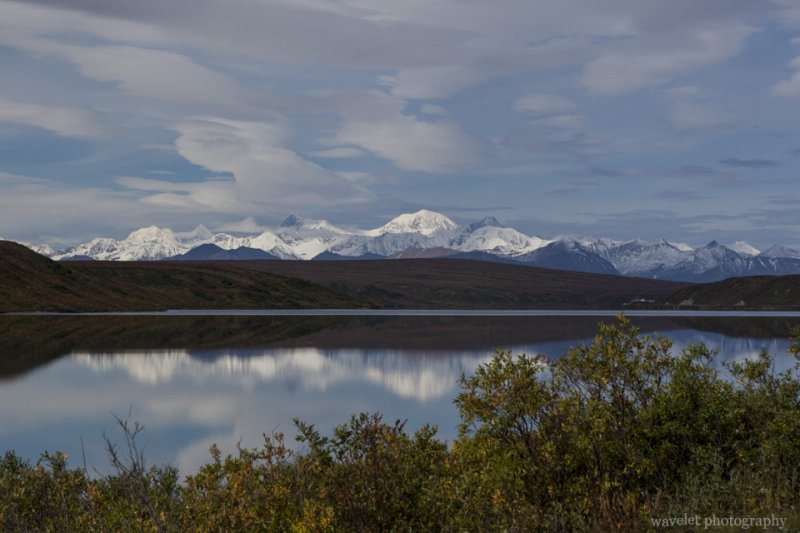
The next day morning, I got up early to try my luck of viewing Mt. McKinley from Anchorage. I drove west along the Northern Light Blvd. After passing the Earthquake Park, there was a parking lot by the Cook Inlet. It is 150 miles south to Mt. McKinley. They day was clear with a little haze. I could easily see Mt. Foraker on the left and Mt. McKinley on the right. At the height of 20,320 ft., it’s the highest peak of Northern America.

Overlook Mt. McKinley from Anchorage, Alaska
Mt. McKinley (right) from Anchorage, Alaska
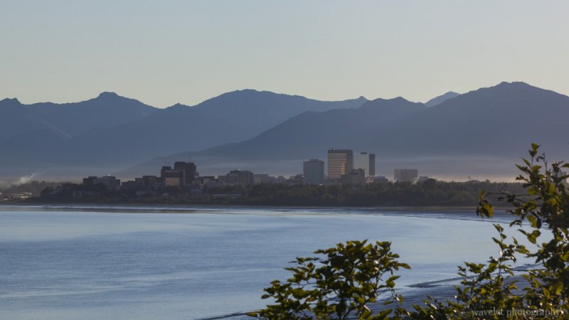
Anchorage Skyline, Alaska

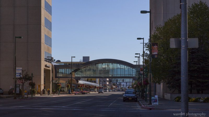
Anchorage is a not a big town. The downtown district is taken by souvenir stores, restaurants and a shopping mall. You can pretty much cover them in a half day on foot.

Anchorage Downtown, Alaska
Downtown Anchorage, Alaska
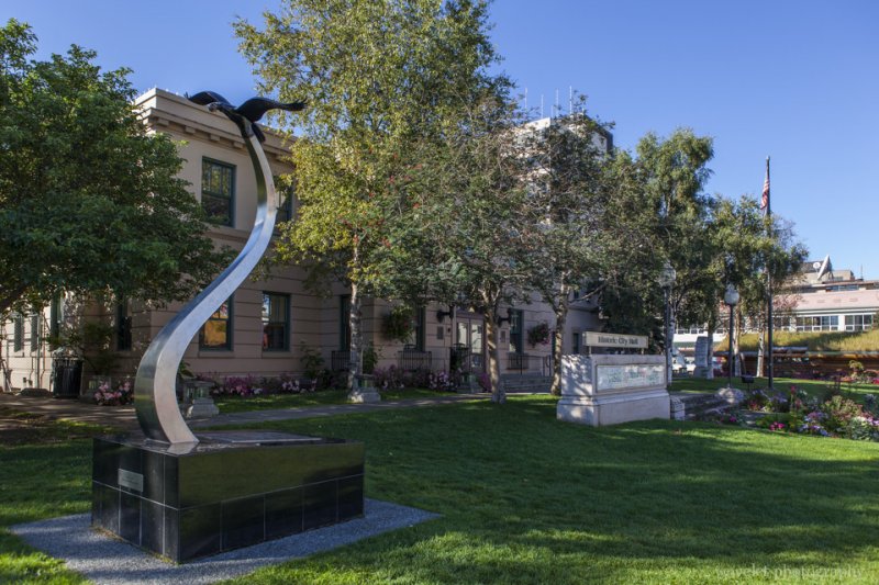
Historic City Hall, Anchorage, Alaska
Historic City Hall, Downtown Anchorage, Alaska
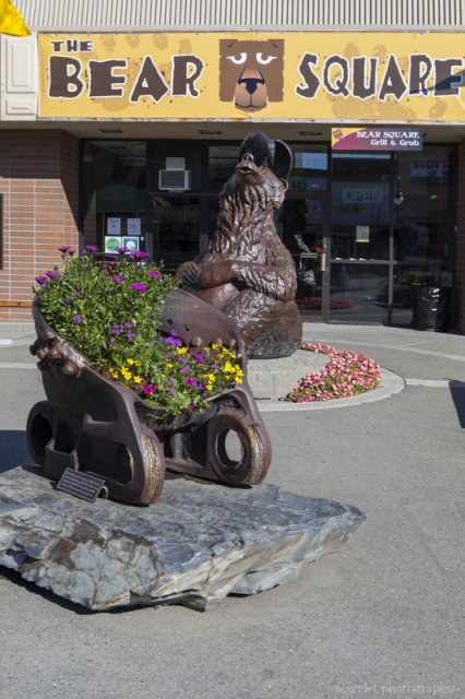
Anchorage, Alaska
A typical souvenir store in Anchorage downtown, Alaska
Resolution Park, Anchorage
Overlook Cook Inlet at Resolution Park, Anchorage, Alaska

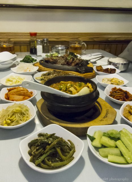
We had a lunch at VIP Korean restaurant. The food was excellent, especially to my parents who do not enjoy western dishes. After lunch, we resupplied at Walmart and leave for the second biggest city of Alaska, Fairbanks.
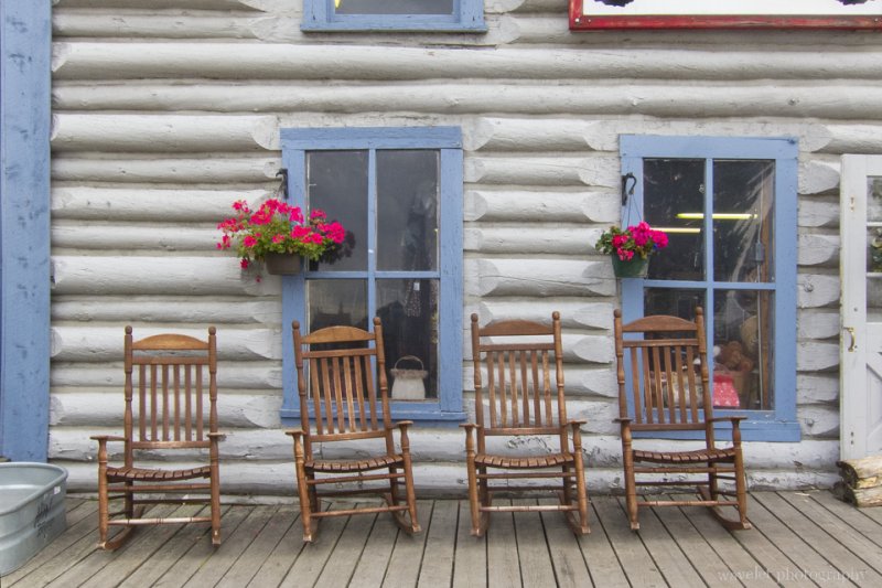
VIP Korean Restaurant, Anchorage, Alaska
Korean dishes at VIP restaurant, Anchorage, Alaska
2 Comments

Alaska – Kenai Peninsula

2012.8.25~26We went to Alaska with my parents last September. Until I started booked the flights, I realized that, although at the same side of the country, Alaska is quite far from California. Direct flights were very few. We landed at Anchorage airport at 4:40pm. After 40 minutes, we finally got our car and on our way to Seward.

The Seward Highway (AK-1) is the only road leaving Anchorage to the south. Passed Chugach State Park, the first leg of the Seward Highway run along Turnagain Arm.

Chugach State Park, Alaska
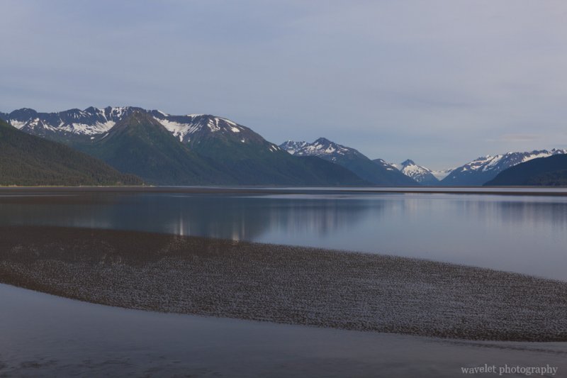
By the Seward Highway near Beluga Point, Alaska
Turnagain Arm near Beluga Point, Alaska

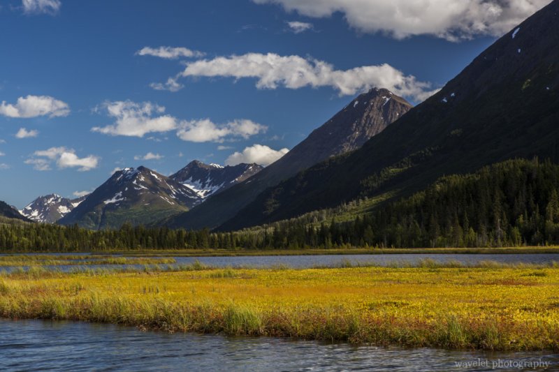
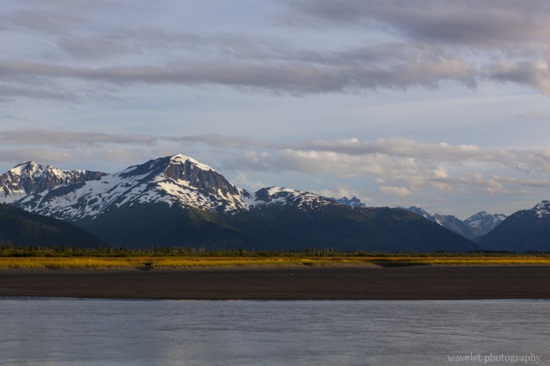
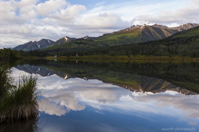
After making a big U turn at the tip of Turnagain Arm, the highway wound into the mountains. This was the most scenic part of the Seward Highway. Lakes by the road were absolutely tranquil. The last ray of sunshine diminished gradually from the top of the mountain as we drove into the Sterling Highway split.

By the Seward Highway near Girdwood, Alaska
Lower Summit Lake, Alaska

After the split, which is commonly called as the “Y”, the Seward highway became AK-9. Because we spent a lot of time getting off the car and taking pictures, it’s getting darker as we drove on the last leg of the highway. Finally, at about 9pm, we climbed out of the mountains and were back to the sea level. We had a dinner at Chinook’s near the harbor and we would stay at the Best Western for two nights.

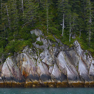
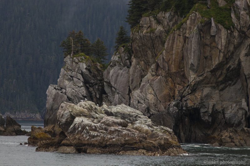
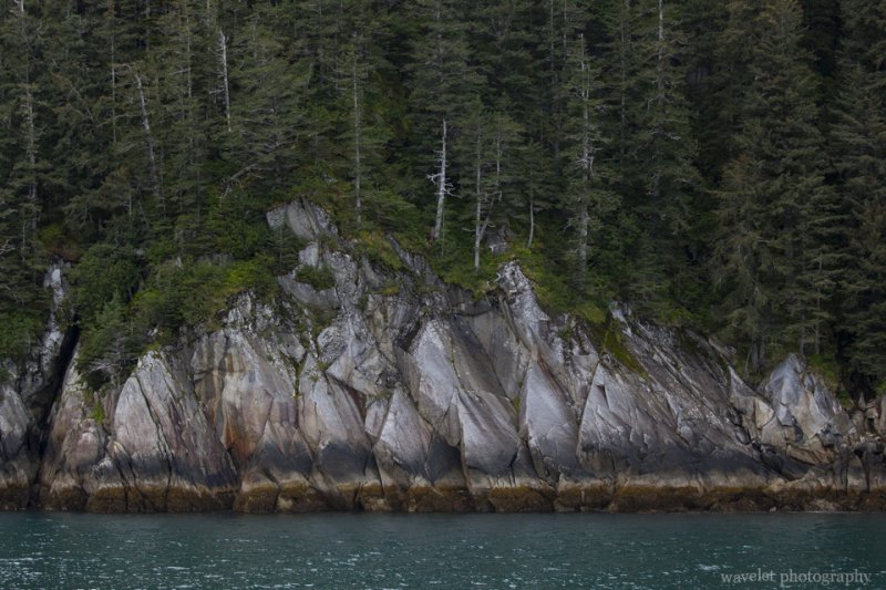
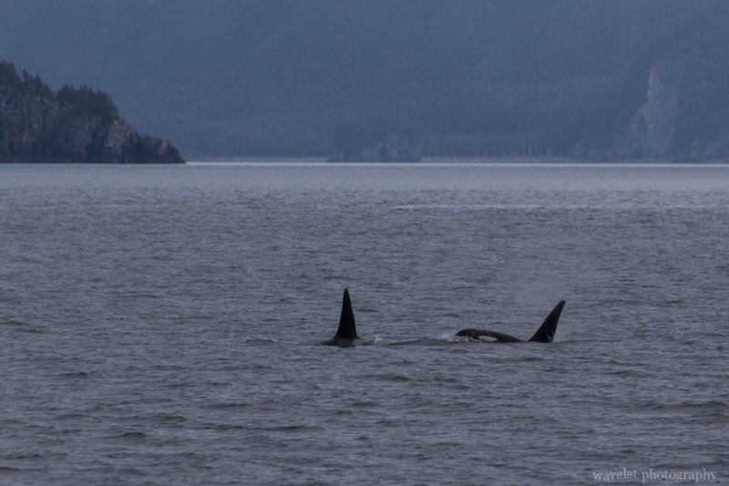
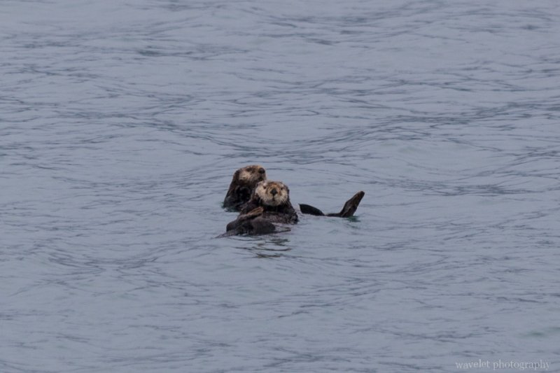
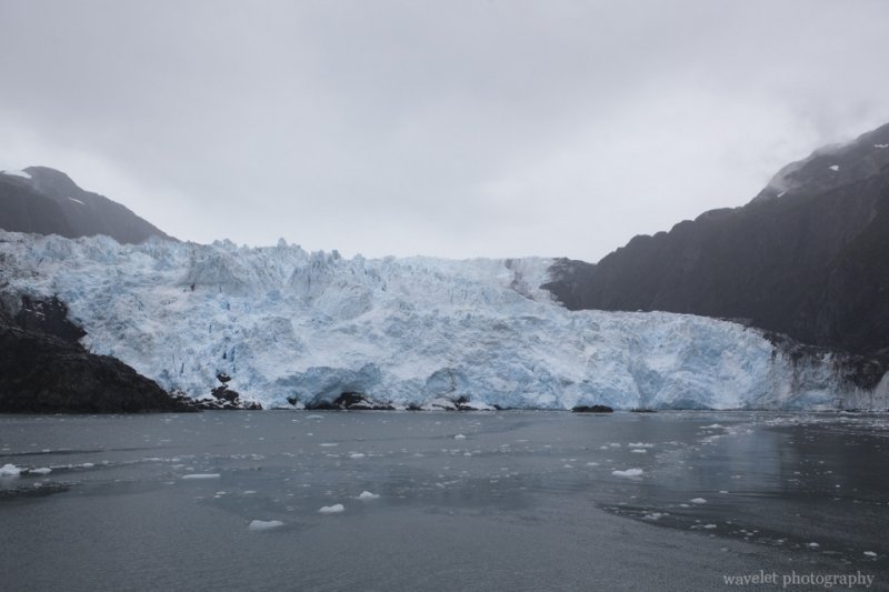
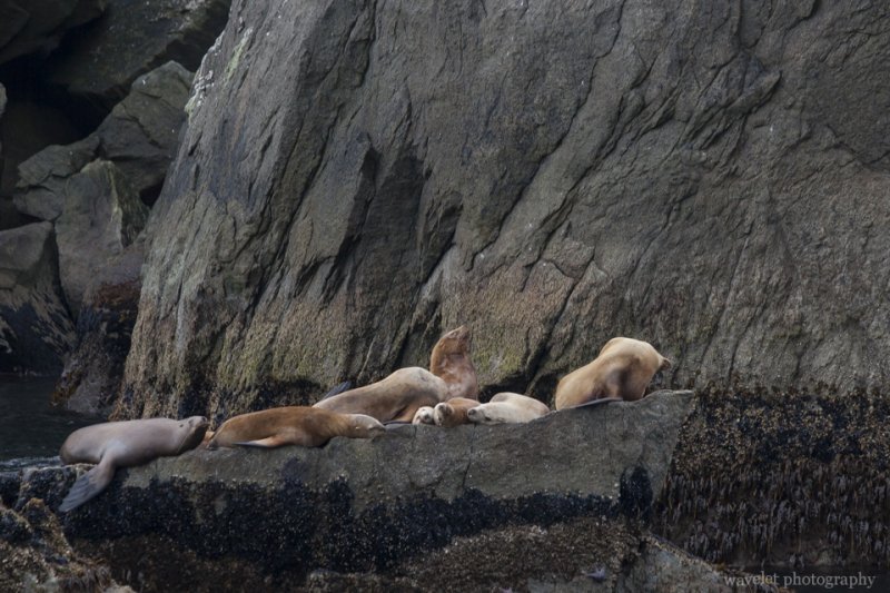
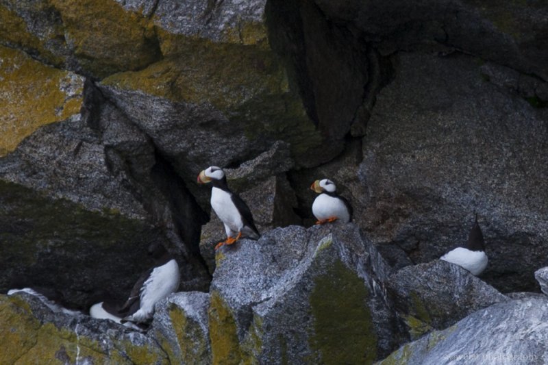
We planned to take Kenai Fjords National Park cruise tour through Major Marine Tours the next day. Tours offered by different companies share the similar routes. They also share information when they saw whales or other marine animals. We booked the 6-hour tour, which took us around Aialik Cape into Aialik Bay. Along the way, we saw Killer Whales, Sea Lions, Sea Otters, Mountain Goats and Alaska Puffins.
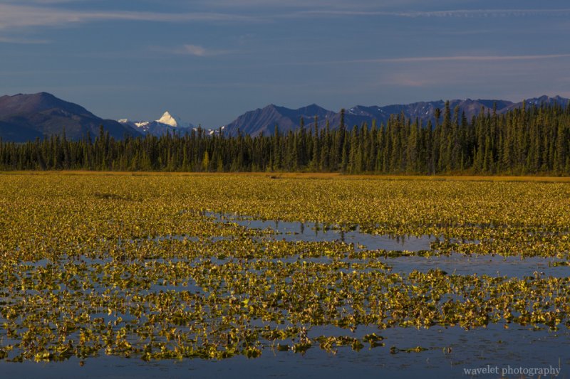
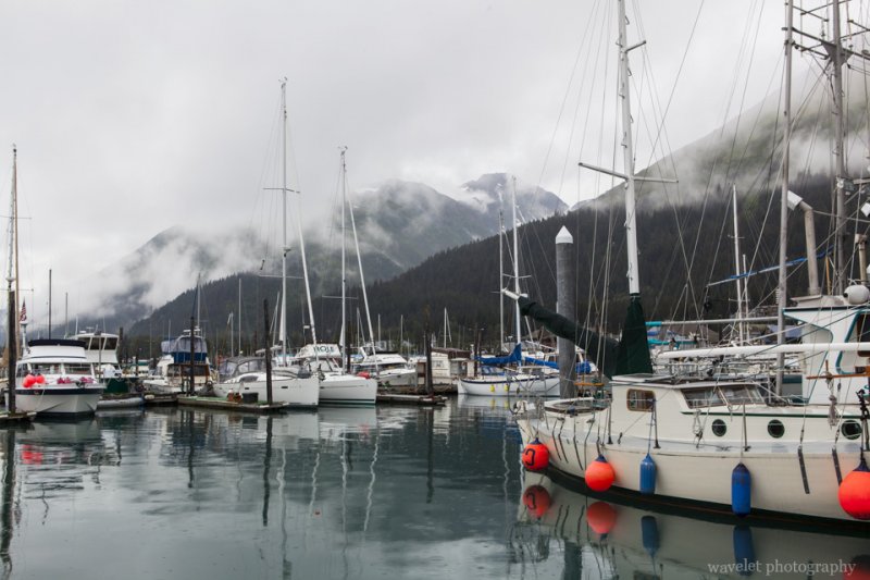
Seward Harbor, Alaska
Kenai Fjords National Park, Alaska
Killer Whales, Kenai Fjords National Park, Alaska
A group of Killer Whales hunting collaboratively, Kenai Fjords National Park, Alaska
Sea Otters, Kenai Fjords National Park, Alaska
Aialik Glacier, Kenai Fjords National Park, Alaska
Sea Lions, Kenai Fjords National Park, Alaska
Alaska Puffins, Kenai Fjords National Park, Alaska

A park ranger on board explained the nature history and ecology along our cruise route. We met several young people from China who were travelling America by themselves. They certainly did their research and had better information than us regarding programs, coupons and even where to see bears and salmons. My parents had great time talking with them.
0 Comments

Tuscany – Florence – A Romantic City

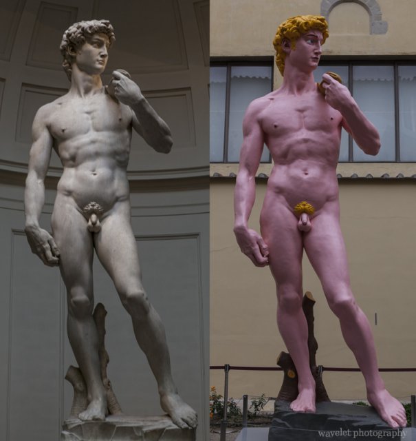
2012.6.1~2In the afternoon, we first went to Galleria dell’Accademia (Academy of Fine Arts, official site). Established in 1563, It was the first school in Europe specifically teaching the techniques of drawing. The line at the entrance quite long. The most famous work housed by the Academy is the original David by Michelangelo, but what is more unforgettable is a colorful copy of blonde David standing at the courtyard. Humorous? Ridiculous? Bold to say the least.

David, Galleria dell'Accademia, Florence
Original David and a faked one at Galleria dell’Accademia, Florence

After left Galleria dell’Accademia, we walked around Piazza San Marco.

Florence
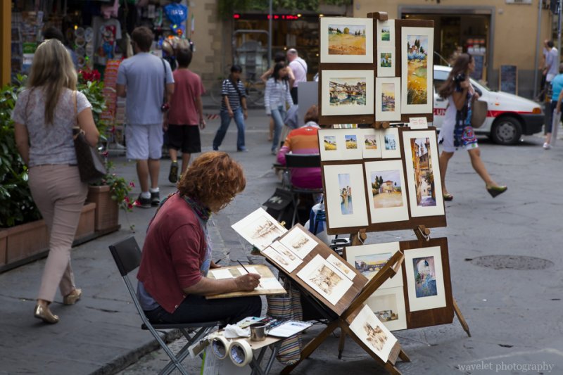
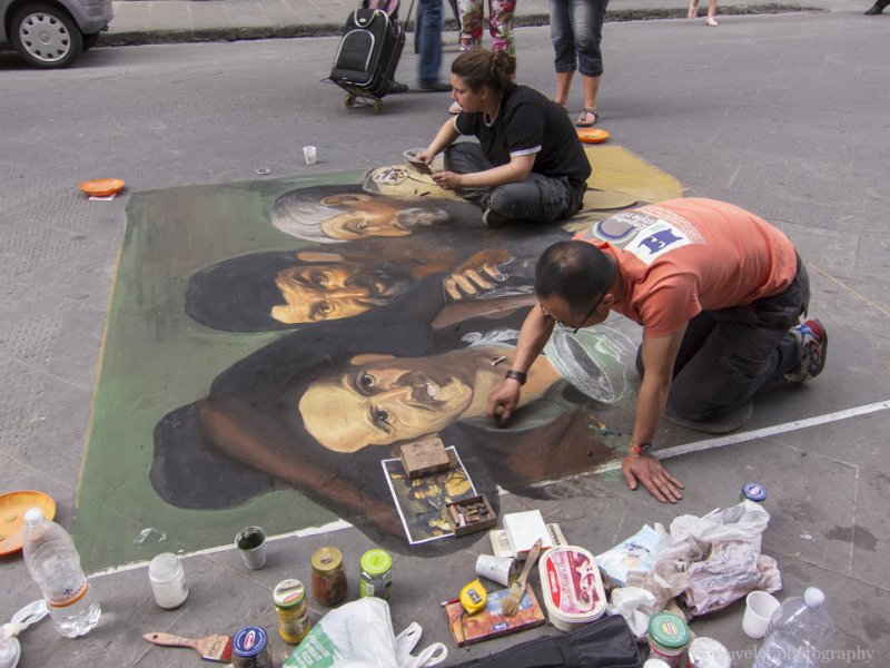
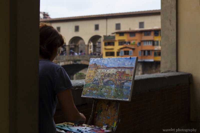
Street artists selling their paintings are all over the city, Florence
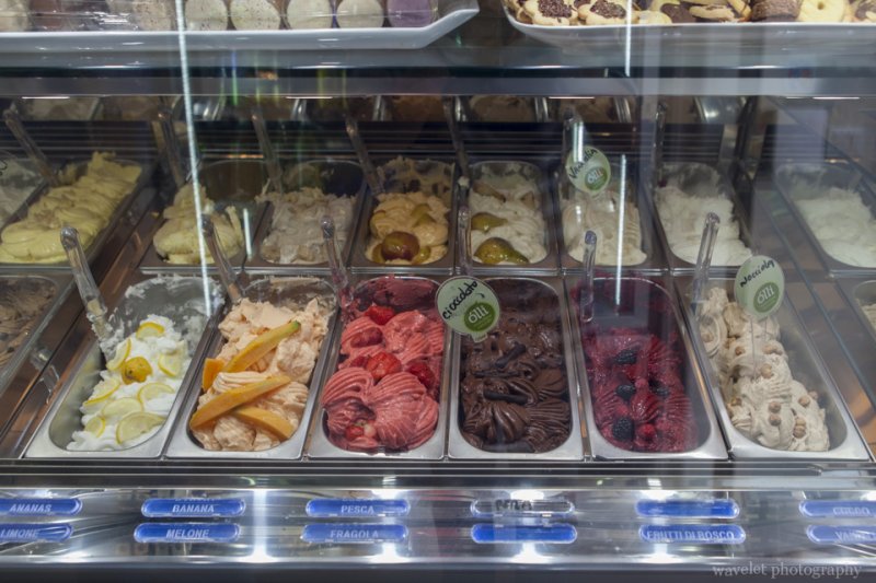
Gelato, Florence
Gelato stores are everywhere, Florence

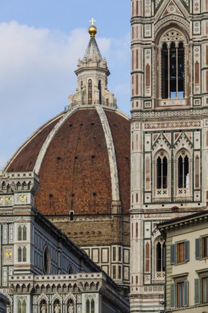
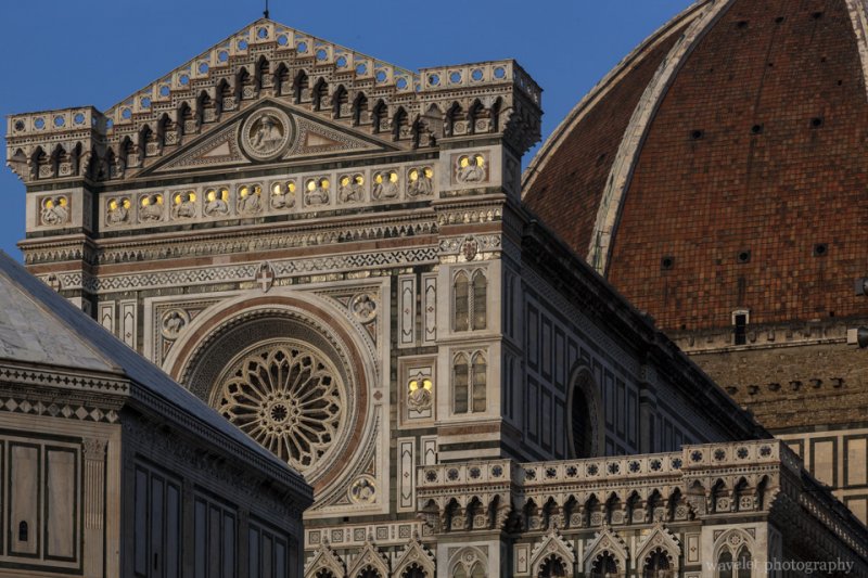
It’s already late afternoon at the time we returned to Piazza del Duomo. The sunshine drifted up gradually along the cathedral and the bell tower, with the color was getting warmer from very bright to golden.

Cathedral and Giotto's Campanile, Florence
Cathedral and Giotto’s Campanile, Florence
West façade and the dome of the cathedral, Florence
Baptistery, west façade and the dome of the cathedral, Florence

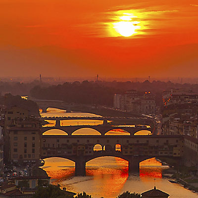
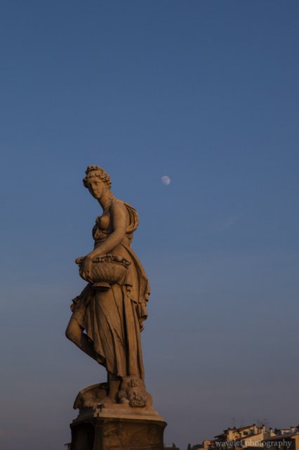
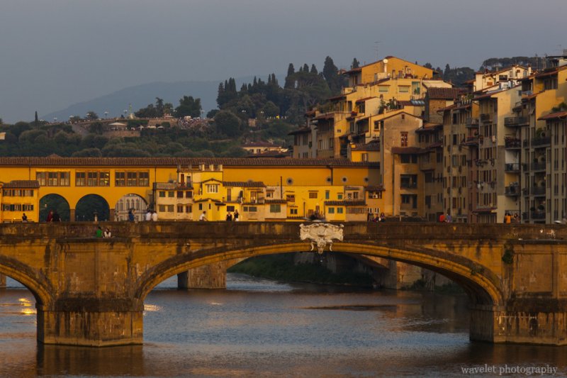
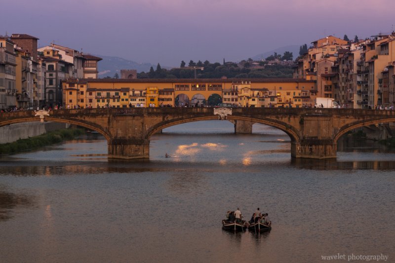
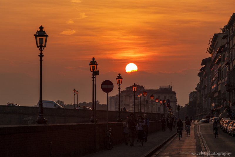
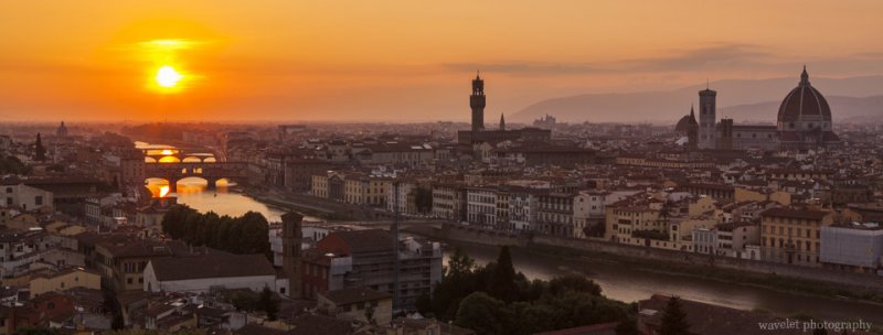
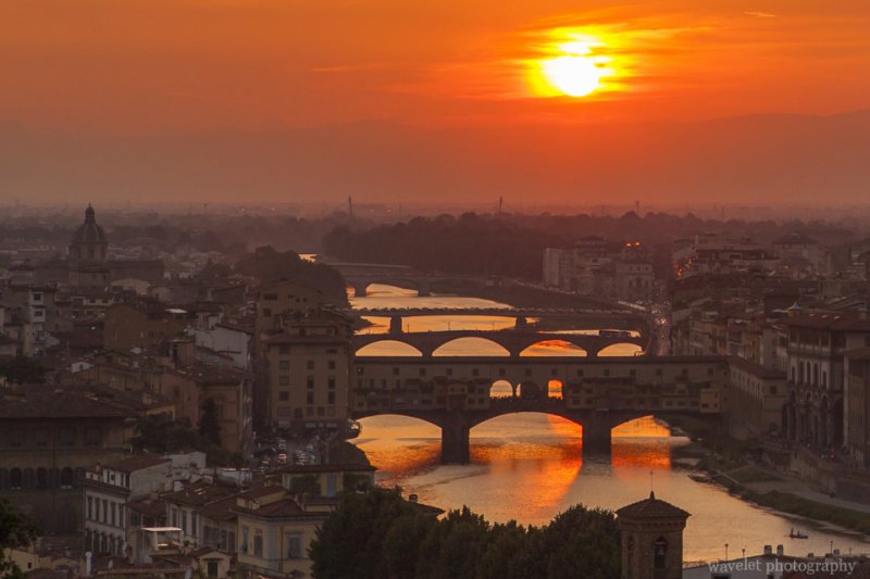
My wife went to Ponte Vecchio to listen to Claudio Spadi’s music again. I walked along River Arno between Ponte Vecchio and Ponte Santa Trinita and tried to capture the beautiful sunset that painted the city and sky with orange and purple color.

Ponte Santa Trinita, Florence
Spring, one of four statues that represent four seasons on Ponte Santa Trinita, Florence
Ponte Vecchio and Ponte Santa Trinita, Florence
Ponte Vecchio and Ponte Santa Trinita, from Ponte alla Carraia, Florence
Ponte Vecchio, Florence
Ponte Vecchio and Ponte Santa Trinita, from Ponte alla Carraia, Florence
Lungarno Acciaiuoli, Florence
Lungarno Acciaiuoli by River Arno, Florence

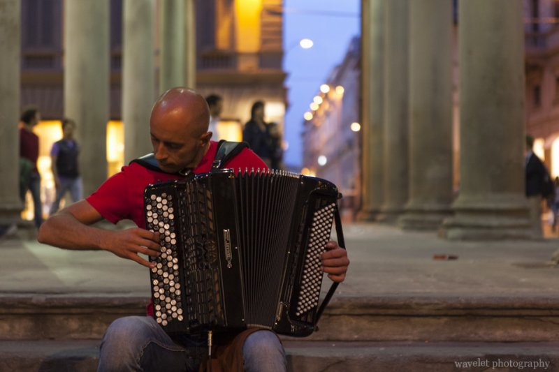
We started walking back to the hotel after the sun sunk below the horizon. Mercato Vecchio (The Old Market) was filled with souvenirs and antiques stands during daytime but now it’s all empty but one playing accordion. It was the first time I heard someone play classic music, such as Pachelbel’s Canon and Vivaldi’s The Four Seasons, by accordion.

Playing accordion at Mercato Vecchio (The Old Market), Florence
A street artist playing accordion at Mercato Vecchio, Florence

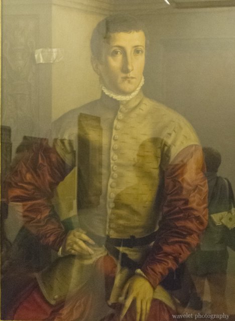
In the next day morning, we went to see the museum you don’t want to miss, Uffizi. It is one of the most prestigious museums in the world because of its vast amount of collections and their quality. Some of famous works include, Titian’s Venus of Urbino, Sandro Botticelli’s The Birth of Venus and Michelangelo’s Doni Tondo. Most of the displays were Medici family’s collections. No wonder in the earlier day, when I was at Piazza Santa Maria Novella, I saw a banner read something like, “too bad today’s arts collectors’ tastes are not as good as Medici’s”. We reserved the tickets through our hotel on the day of our arrival, otherwise the waiting queue would be much longer. Photography was not allowed in Uffizi, but I couldn’t help to taking a shot at this one. Is he a time traveler?

Portrait of a Young Man, by Georg Pencz, Uffizi Gallery, Florence
Portrait of a Young Man, by Georg Pencz, Uffizi, Florence
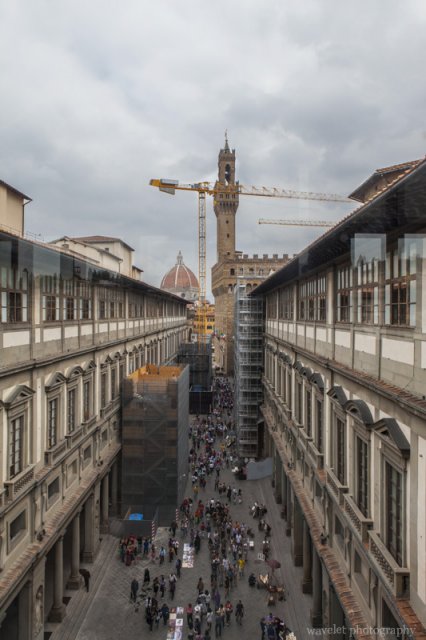
The narrow courtyard between the Uffizi's two wings, Florence
The narrow courtyard between the Uffizi’s two wings designed by Giorgio Vasari, Florence

We had some time walking around the city before going back to the hotel.

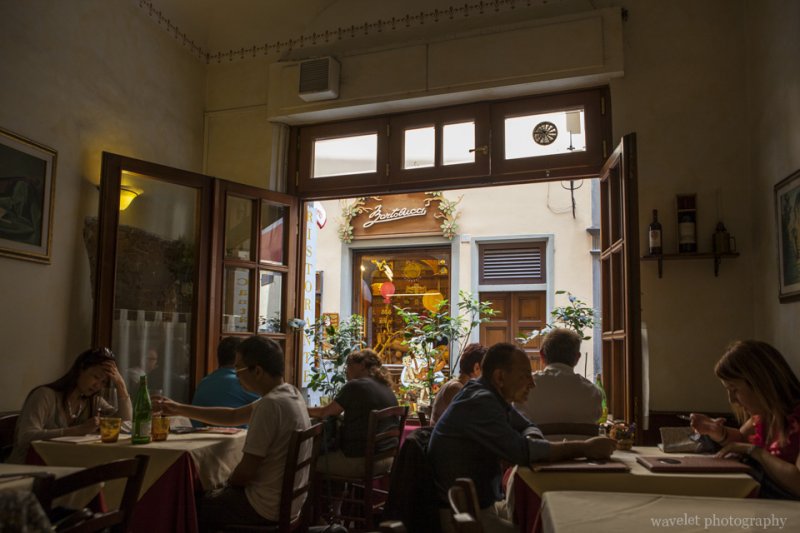
A restaurant, Florence
A restaurant. Across the road, it’s a Pinocchio store, Florence
Palazzo dell'Arte della Lana, Florence
Palazzo dell’Arte della Lana, a guildhall Florence’s powerful wool industry in Late Middle Ages

The afternoon time was reserved for shopping. Florence is one of top fashion capitals of the world. One major upscale shopping street, Via de’ Tornabuoni, where many high fashion boutiques are located, is only steps away from the hotel.

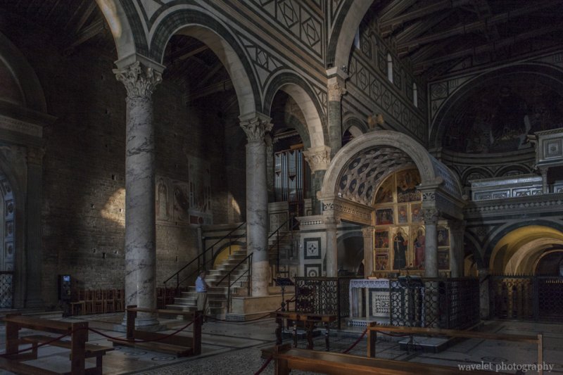
After walking in and out these fashion stores for two hours, I finally convinced my wife to go to Piazzale Michelangelo as our city tour’s last destination. The taxi dropped us near San Miniato al Monte so we had chance to first see this beautiful Romanesque church on the very top of the hill.

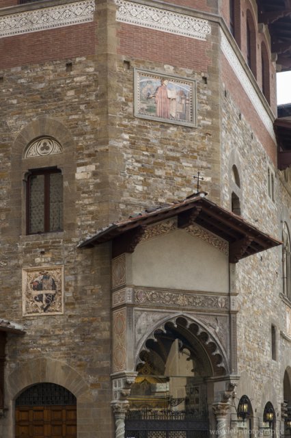
San Miniato al Monte, Florence
The interior of San Miniato al Monte, Florence
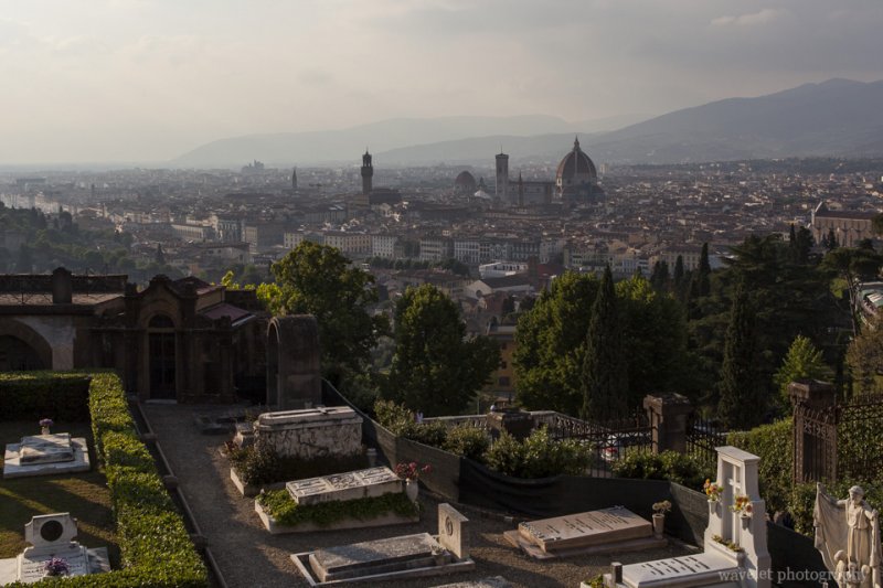
Overlook Florence from San Miniato al Monte
Overlook the city from San Miniato al Monte. The cemetery next to the basilica is called Porte Sante, where many artists and scholars were buried, Florence.

Piazzale Michelangelo offers a spectacular panorama view of the city. Locals come here for picnic, couples take wedding photos and tourists gather at west steps listening to music and waiting for the sunset. Although our days at Florence all started cloudy, they always cleared up in the afternoon. We had three gorgeous sunsets in a row. Looking down from the square, all the historical landmarks we have visited stood one after another in front of our eyes. The entire city were bathed in the beautiful red glow. Our trip ended on the most romantic note.

Florence panorama from Piazzale Michelangelo, Florence
City’s panoramic view from Piazzale Michelangelo, Florence
River Arno and Bridges in sunset, Florence
River Arno and Bridges in the sunset glow, Florence
1 Comment

Tuscany – Florence – Heart of Renaissance

2012.5.31~6.1We booked Strozzi Palace Hotel for 3 nights at Florence. One nice thing about Florence is that its historic district is a very compact area, and the hotel is wonderfully located at the center of it. We got a spacious suite at the top of the building, room Michelangelo. Our neighbor was room Raphael.

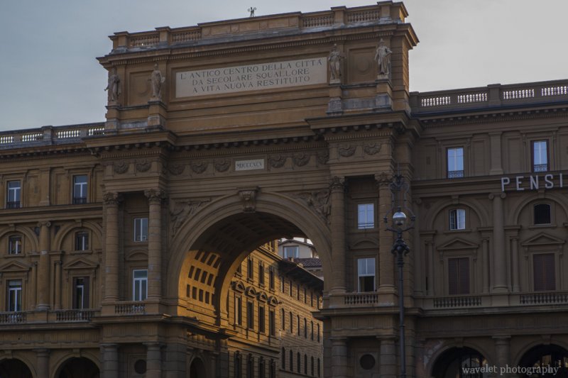
It’s about 6pm. Walked one block from the hotel, through the triumphal arch, we arrived in Piazza della Repubblica. It’s a lively square filled with street artists and tourists. The piazza is surrounded by bars and cafès. Many of them have long history being the popular meeting place for artists and scholars.

Triumphal Arch at Piazza della Repubblica, Florence
Street paint near Piazza della Repubblica, Florence
Street artists painted on the ground near Piazza della Repubblica. They erased the paint right away after done and started over again. Florence

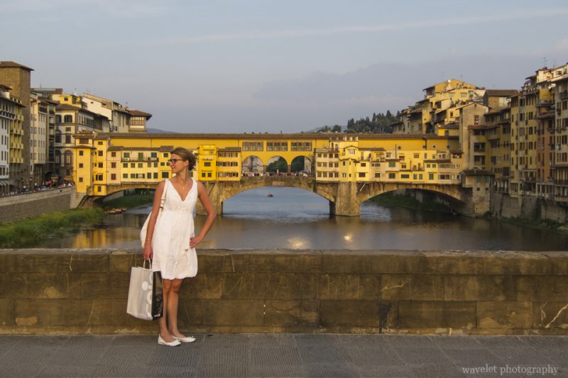
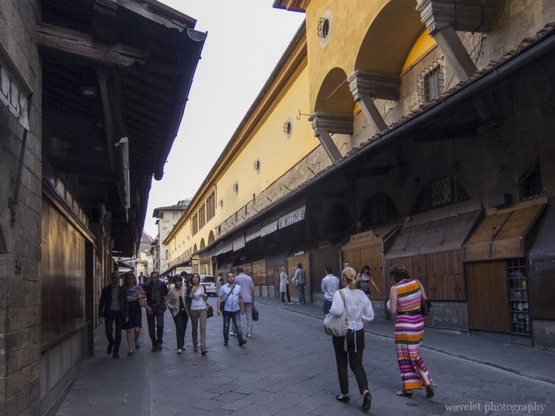
We continued walking toward the River Arno. The streets were crowded by the tourists. We didn’t go to Ponte Vecchio right away, but walked along the river to have a better view of the Old Bridge. This is one of the most famous landmarks of Florence. We crossed the river by Ponte Santa Trinita and went back to Ponte Vecchio from the other side of the river. There are shops built on both side of the bridge. Once taken by butchers before Renaissance, now these are jewellery stores and galleries.

View Ponte Vecchio from Ponte Santa Trinita, Florence
Shops at Ponte Vecchio were closed in late afternoon, Florence
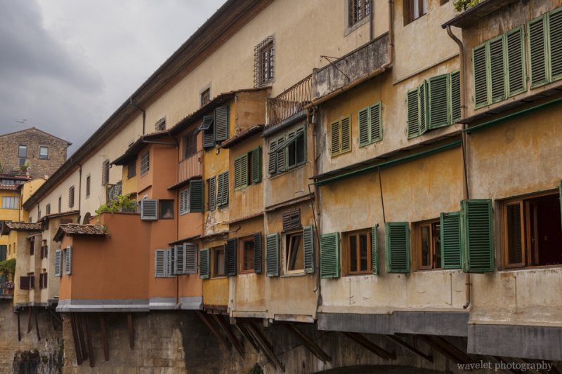
Shops at Ponte Vecchio were closed in late afternoon. On top of the stores at the right is Vasari Corridor that connects the Palazzo Vecchio and the Palazzo Pitti, Florence

At the middle of the bridge, the area around the statue of Benvenuto Cellini is open to the river. Many people sit around listening to Claudio Spadi (with Luca Sciortino) playing his music. He performs regularly here often till dark and has become a quite famous scene of Ponte Vecchio. The warm light of the sunset was reflected by the water and windows by the river and illuminated people with beautiful backlit. We stood by the bridge and watched him play for at least 7 or 8 songs till the sun set below the horizon.

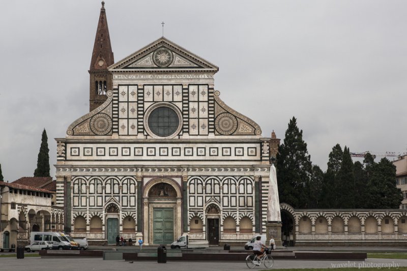
The second day morning, as usual, I got up at 6am and had a walk around the city. I first went to the piazza where the city’s principal Dominican church, Basilica of Santa Maria Novella, is located.

Basilica of Santa Maria Novella, Florence

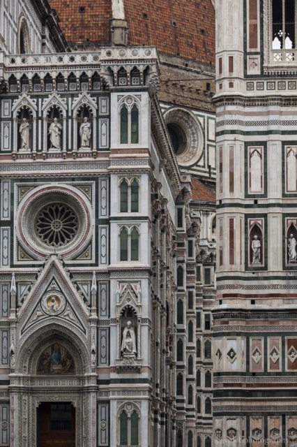
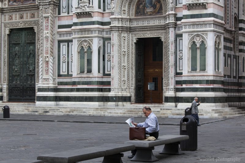
Then, I walked to the Duomo of Florence, Basilica di Santa Maria del Fiore. The construction of the original cathedral begun in 1296 and took more than 100 years to complete. The original façade was never finished. In 16th century, it’s even torn down because it’s considered outdated in Renaissance times. The church was left without a façade until 19th century, when the richly-decorated new façade was rebuilt in green and red marbles.

Basilica di Santa Maria del Fiore (Duomo), Florence
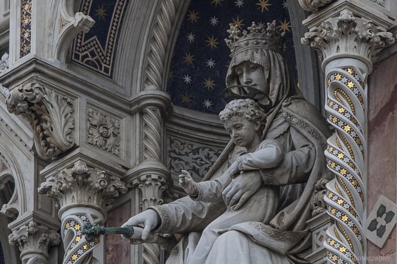
The gallery of the Virgin with Child, Duomo, Florence
Piazza del Duomo, Florence
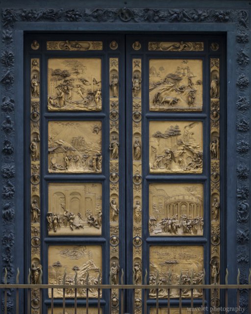
The bronze door of the Baptistry, Florence
The Gates of Paradise – the east door of the Baptistry was made by Lorenzo Ghiberti in 1425 is often considered as the first works of the Renaissance, Florence

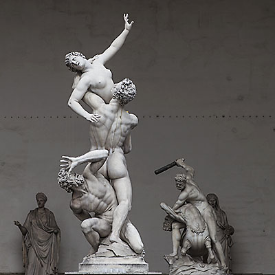
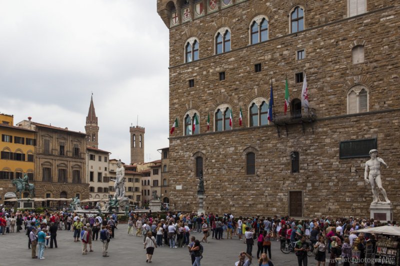
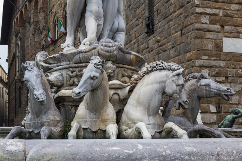
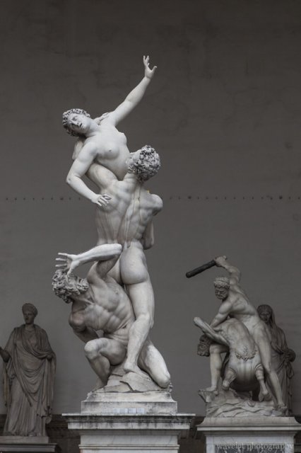
We started our city tour after the breakfast. The first stop is the Piazza della Signoria. It is one of the most famous attractions in Florence thanks for the statues (some are copies) still standing around the piazza and the Loggia dei Lanzi, including David and The Rape of the Sabine Women. The piazza is not only the political hub of the city, but also a symbol of the city as the center of Renaissance. It is so famous that at any given time there were at least 3 or 4 tour groups visiting the piazza. It is the most crowded place of all our trips.

Piazza della Signoria, Florence
The Rape of the Sabine Women, Loggia dei Lanzi, Florence
The Rape of the Sabine Women‘ and ‘Hercules beating the Centaur Nessus‘ by Giambologna in the Loggia dei Lanzi, Florence
Loggia dei Lanzi, Florence
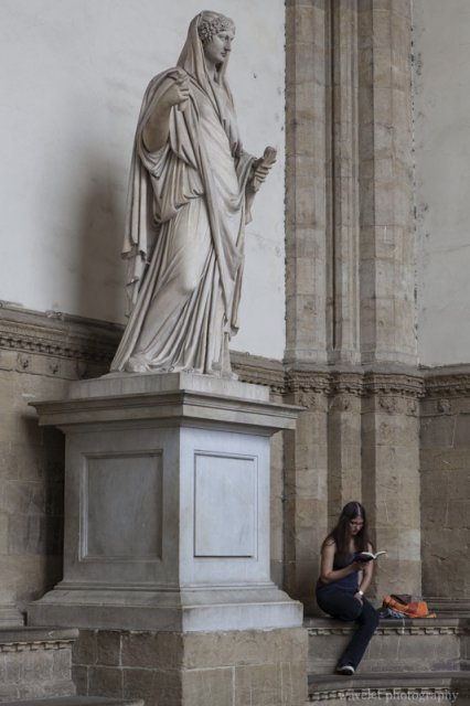
A Roman statue and a girl reading books in the Loggia dei Lanzi, Florence

The massive building with an imposing bell tower overlooking the Piazza della Signoria is Florence’s city hall, Palazzo Vecchio (gallery). Enter the building, we were impressed by the huge chamber that can accommodate almost 1000 people. It was holding a school meeting at the time we visited. Large frescoes that depict battles with Pisa and Siena cover the west and east wall. The second floor contains several apartments and rooms that are used for arts exhibition. Many of them are the works of Giorgio Vasari.

Entrance of Palazzo Vecchio, Florence
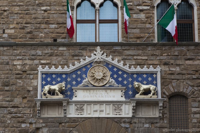
The Republican frieze over the entrance of Palazzo Vecchio. The inscription means “Christ is King”. Florence
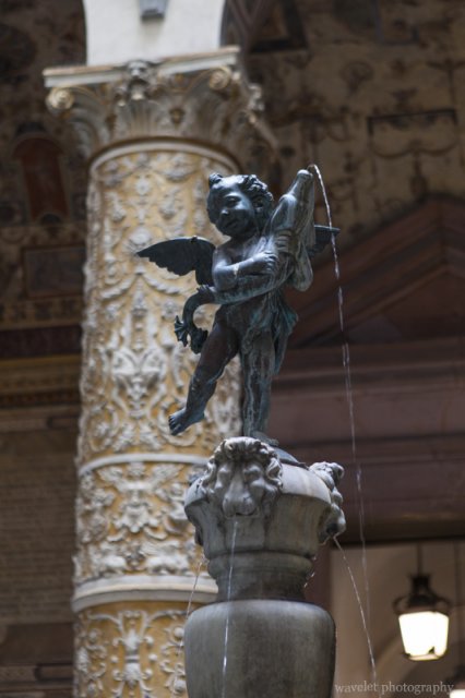
Putto with Dolphin by Andrea del Verrocchio, Palazzo Vecchio, Florence
Copy of Putto with Dolphin by Andrea del Verrocchio at the first courtyard of Palazzo Vecchio, Florence
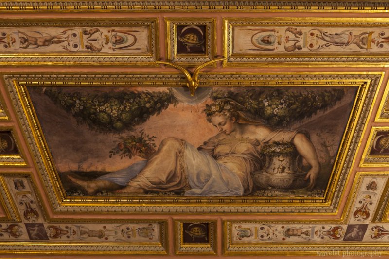
Primavera by Giorgio Vasari and aids, Hall of Opi (Sala di Opi), Palazzo Vecchio, Florence
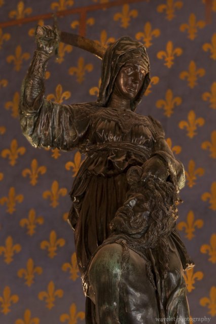
Judith and Holofernes by Donatello, Hall of Lilies (Sala dei Gigli), Palazzo Vecchio, Florence

Leaving the city hall, we walked through the loggia of Uffizi by Arno. This is also the innovative work designed by Giorgio Vasari who opened up the courtyard and made it a public piazza and street. Crossed the river, we went to Palazzo Pitti (official site), but we didn’t enter the museum. We went back to the hotel to have a noon rest.

From the loggia of Uffizi by Arno river, Florence
Overlook Ponte Vecchio from the loggia of Uffizi by Arno river, Florence
Closer look of Ponte Vecchio, Florence
A closer look of the south side of Ponte Vecchio, Florence
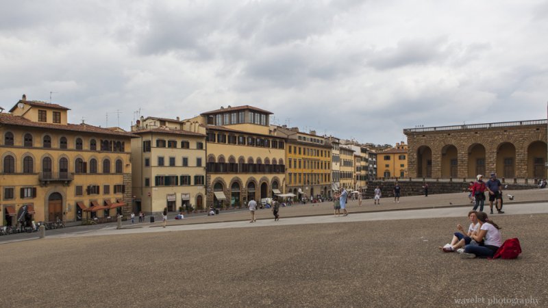
Piazza del Pitti, Florence
0 Comments

Tuscany – Siena

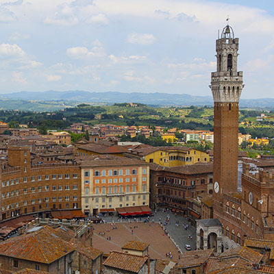
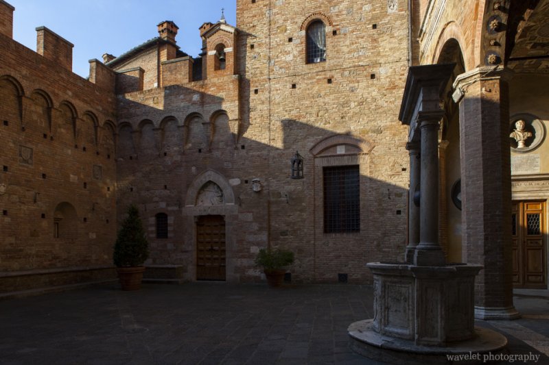
2012.5.30~31Famous for its art and religious works, Siena was once a rival to Florence for the dominance of Tuscany from medieval time to the Renaissance. Today, the city is an UNESCO heritage site. It may be the best preserved medieval city in Italy, thanks to its conquest by Florence – as Florence became bigger and busier, Siena turned its focus on building the city to retain its traditions and blend into its surrounding landscape.

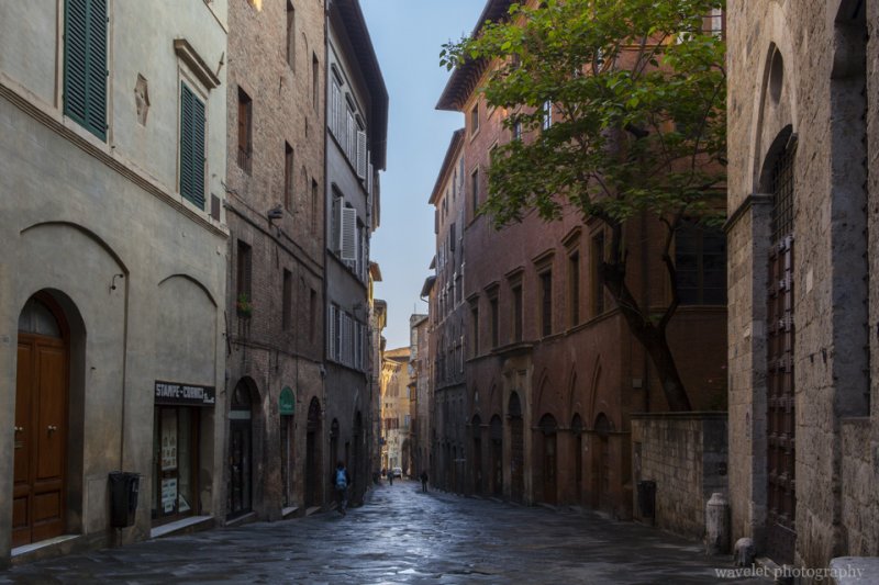
Tourists’ vehicles are not allowed to enter the inner city. From our hotel, alone Via Roma, it takes 15 to 20 minutes to walk to the city center. At the first day morning, I got up at 6am and had a walk in the city. In the early morning, tourists had not taken the streets yet.

Siena
Siena

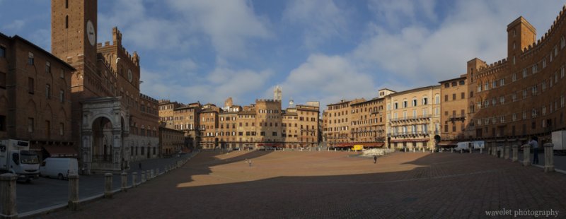
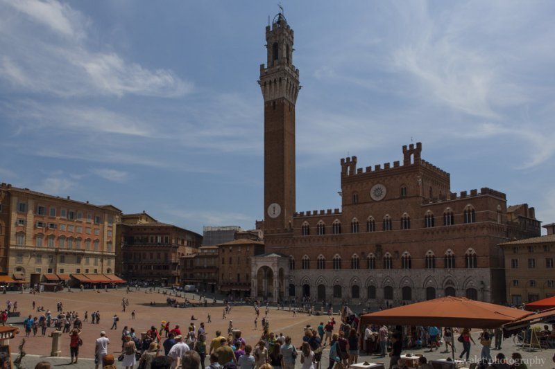
The view of the shell-shaped brick-paved public square, Piazza del Campo, is a signature image of Tuscany. At one end, there sit the tower of the town, Torre del Mangia, and the city hall, Palazzo Pubblico; at the other end, it’s the Fonte Gaia (Fountain of Joy). Every year, two horse races, Palio, are run in the piazza, to promote pride and rivalry of among 17 contrade of Siena.

Piazza del Campo, Siena
The stitched panorama view of Piazza del Campo.
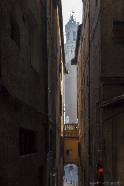
Torre del Mangia, Siena
View the Torre del Mangia from the surrounding street.

When I walked to the Piazza del Duomo, where Siena’s main cathedral is located, the morning sun just started lighting up the piazza. The churches were immersed in the warm golden sunlight.

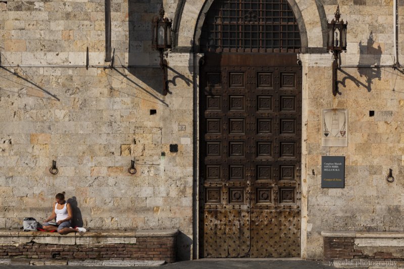
Museo Archeologico Nazionale, Siena
Santa Maria della Scala (the Hospital), now the National Archaeological Museum, across across the Piazza del Duomo from the cathedral, Siena

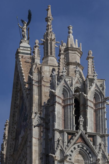
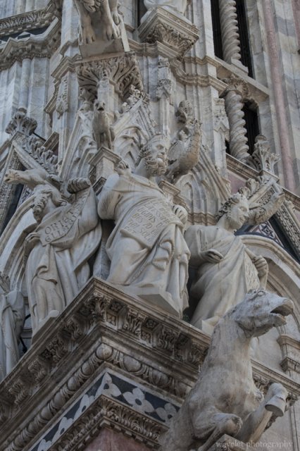
Siena’s main cathedral is a Romanesque-Gothic style church. Its west façade is a masterpiece of medieval architecture. The façade was built in two stages, the lower part was designed in Tuscan Romanesque style, the statues and pinnacles of the upper part was heavily influenced by French Gothic architecture.

Central gable and right tower of the Duomo, Siena
Facade statues of the Duomo, Siena
Façade statues in Gothic style on the left tower of the Duomo, Siena
Facade statues of the Duomo, Siena
Delicate statues on top of the centeral portal of the Duomo, Siena

After spent the rest of the day in the country side, we returned to the city center the next day morning.

Torre del Mangia and Palazzo Pubblico, Siena
Piazza del Campo, Siena
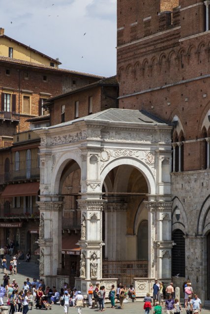
The marble loggia of the Torre del Mangia, Siena
The marble loggia of the Torre del Mangia was put up after the Black Plague, Siena
Siena
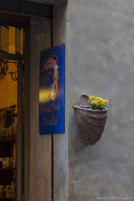
A shop next to Piazza del Campo, Siena

We paid a small entrance fee to get into the Duomo.

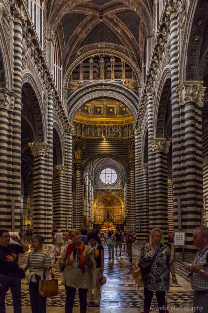
Interior of the Duomo, Siena
The most striking feature of the Duomo’s interior is the black and white marble stripes on the walls and columns, Siena
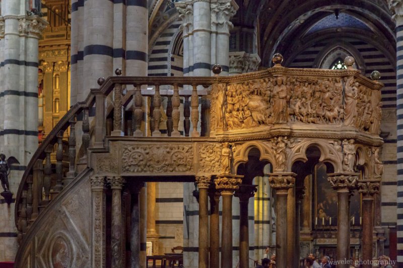
Pulpit of the Duomo, Siena
The pulpit was sculpted by Nicola Pisano, who just completed his work of the pulpit of the Pisa baptistery. His son, Giovanni Pisano, extensively involved in the project, then in turn sculpted the pulpit inside the Duomo of Pisa.
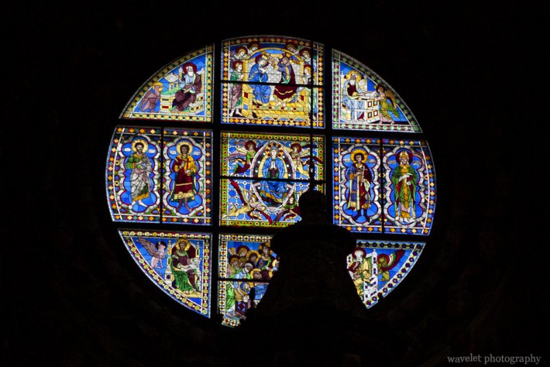
Stained-glass window in the Duomo, Siena
The stained-glass window of the Duomo, Siena
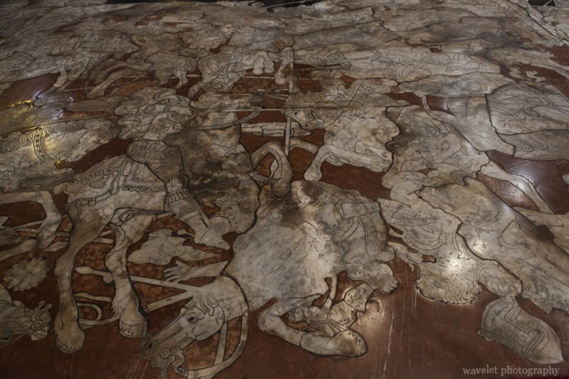
The inlaid marble mosaic floor in the Duomo, Siena
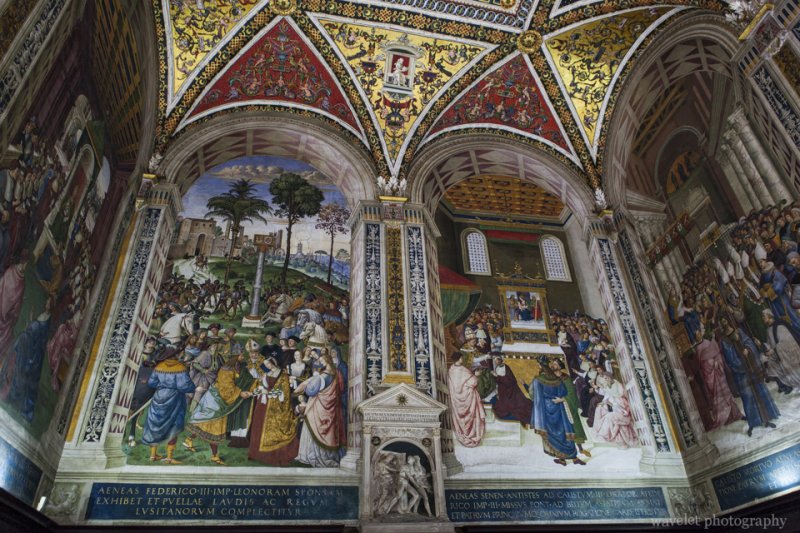
Piccolomini Library in the Duomo, Siena
The colorful frescoes inside Piccolomini Library in the Duomo, Siena
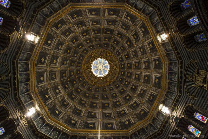
Dome of the duomo, Siena
The dome of the Duomo, Siena

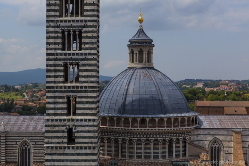
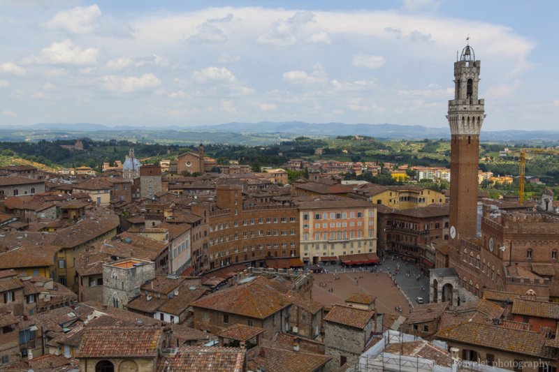
The Duomo was supposed to be enlarged to double its current size, but the Black Plague in 1348 stopped the effort. We climbed to the top of the unfinished façade. From there, we had a panorama view of Siena.

The dome and the bell tower of the Duomo, Siena
The dome and the bell tower of the Duomo viewed from the unfinished façade, Siena
Piazza del Campo, Siena
Piazza del Campo viewed from the unfinished façade, Siena

Walking out of the Duomo, we had a lunch at Trattoria Papei at Piazza del Mercato, right behind Piazza del Campo.

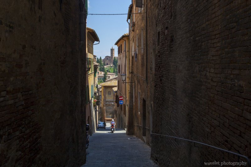
The church of Santa Maria dei Servi, Siena
Overlook the church of Santa Maria dei Servi through the narrow street, Siena

We left Siena at afternoon and drove to Florence, which is only 50 miles away. We returned our car at the airport, which is the best decision I made of the trip, and took taxi into the city.

0 Comments