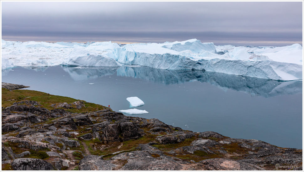
Faroe Islands – Northern Islands
2019.7.4
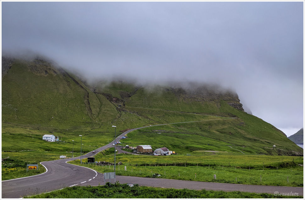
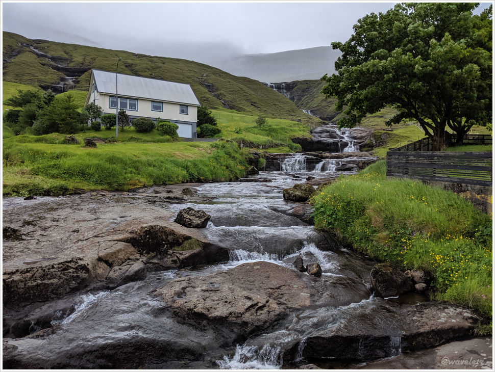
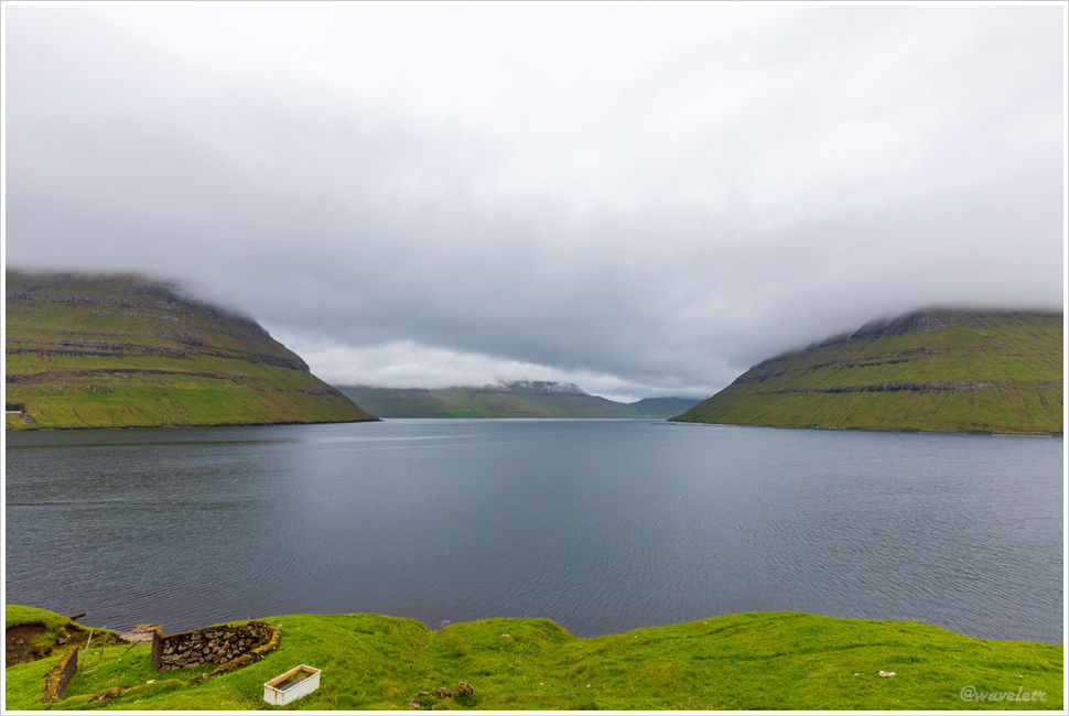
Heading north from Tórshavn, there are two roads that lead out of the city. In the morning, we took the one that goes over the mountains. The road was shrouded in fog, obscuring the mountains on both sides and creating a bleak, moody atmosphere. Interestingly, down in the valley it was merely overcast. It is another example of the Faroe Islands’ famously varied weather.
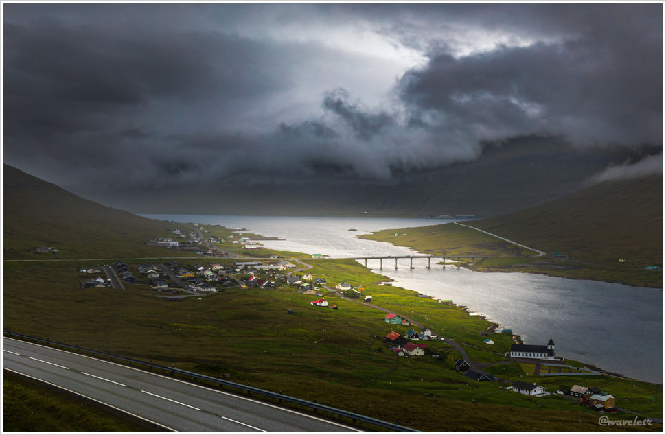
Streymoy and Eysturoy are the two largest and most populous islands in the Faroe Islands, separated by the Sundini Fjord. On the Streymoy side, near the middle of the fjord, lies the small and scenic village of Hósvík. After crossing the Streymin Bridge, we reached the town of Norðskála. The Streymin Bridge, located at the narrowest point of the Sundini Fjord, is 226 meters long and is the only bridge connecting two islands in the Faroe Islands. It is fondly known as the “Bridge across the Atlantic” and plays a significant role in the islands’ road network.
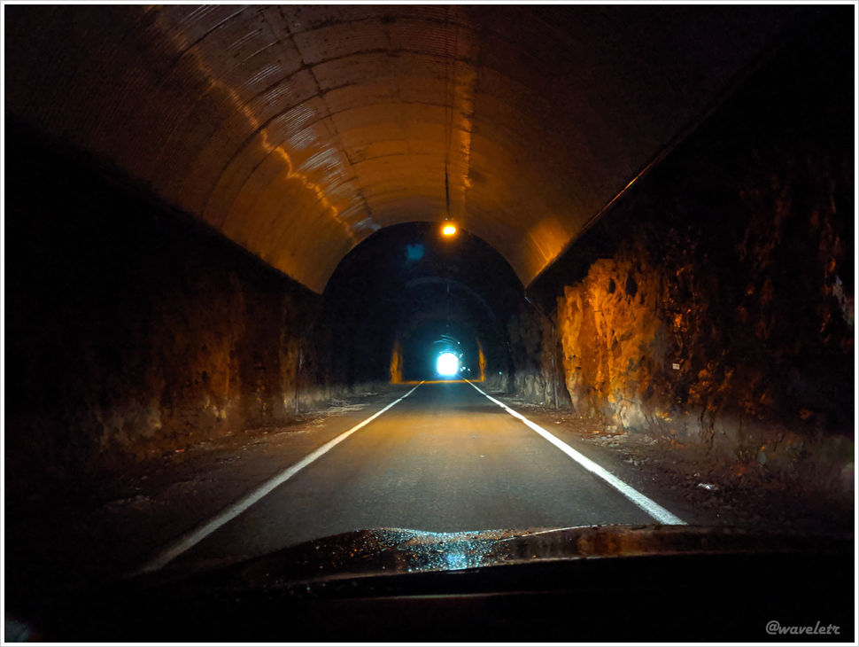
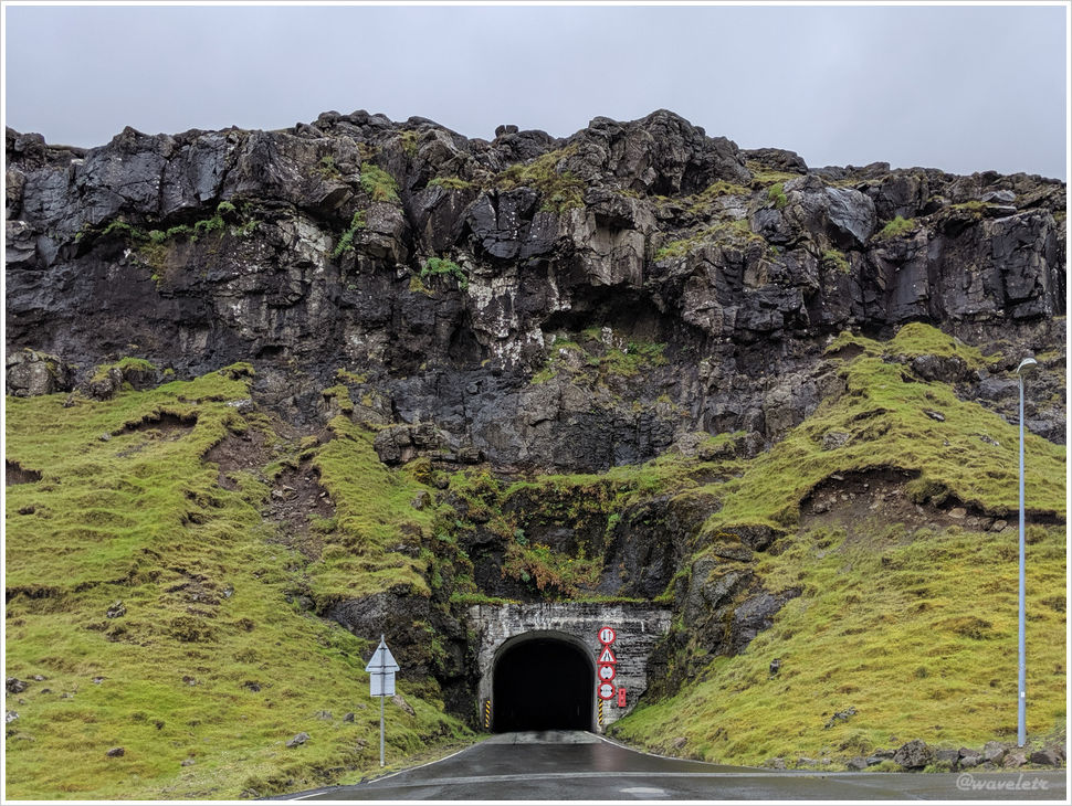
The bridge opened to traffic in 1973, followed by the opening of the Norðskála Tunnel in 1976, which cuts through the central mountain range of Eysturoy. In 1988, the Norðoya Tunnel opened, finally linking the northern islands with the central parts of the Faroe Islands.
We had lunch and took a short break in Klaksvík before continuing north. We soon entered the Árnafjarðar Tunnel, and just 50 meters beyond the exit was yet another tunnel. Between the two lies the village of Árnafjørður, in the central part of Borðoy Island.
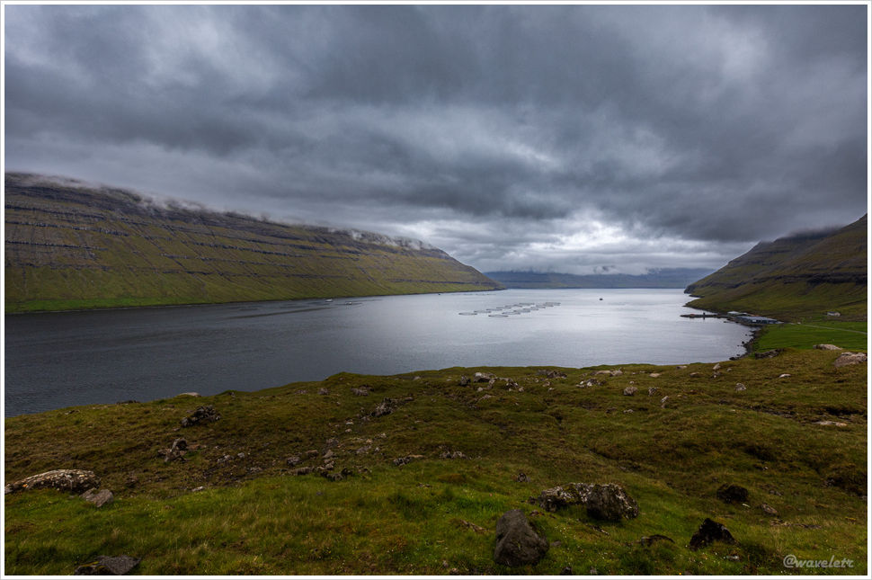
Not far after emerging from the Borðoy tunnel, we reached Viðoy, the northernmost island in the Faroe Islands. Borðoy and Viðoy are connected by a causeway, with the small towns of Norðdepil and Hvannasund facing each other across the strait. Fishing and aquaculture are the primary livelihoods of local residents.
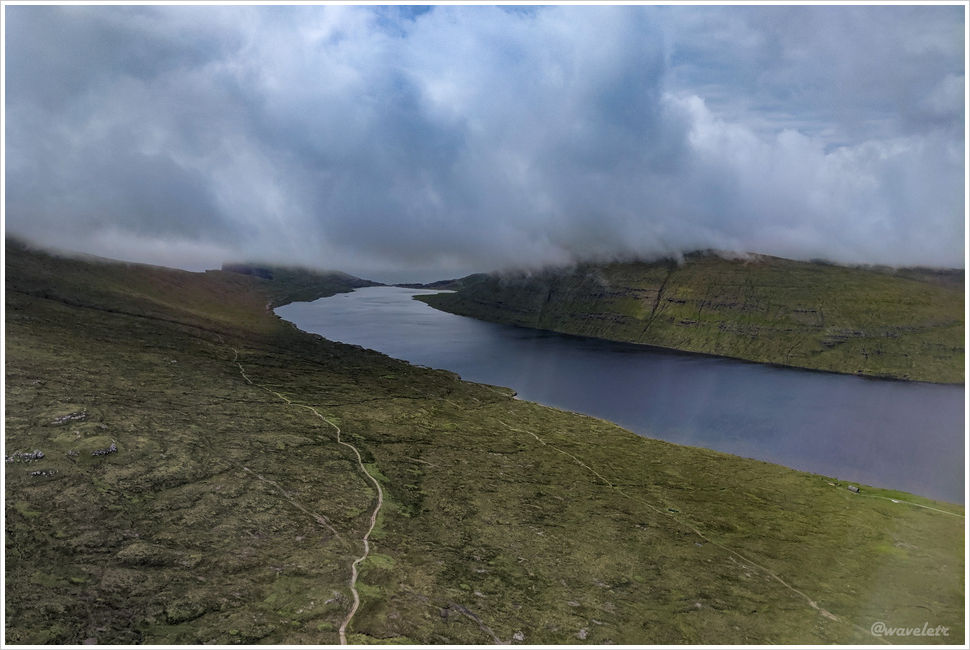
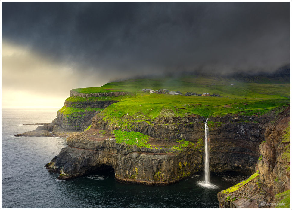
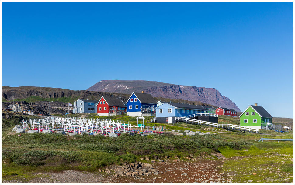
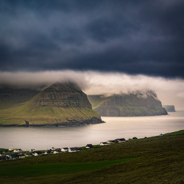
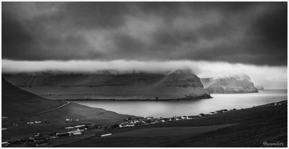
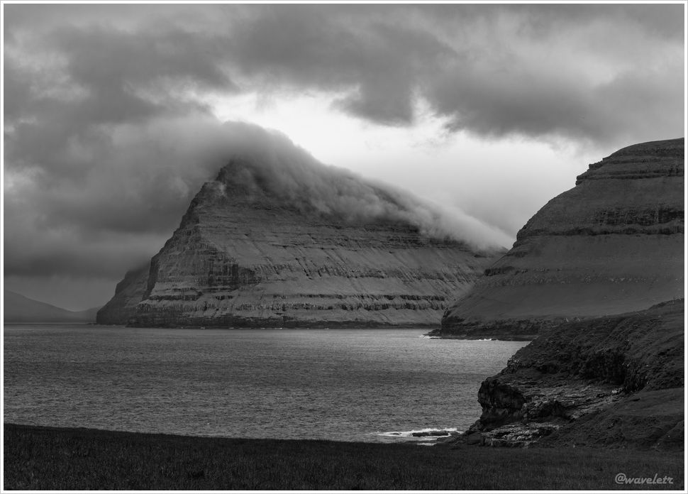
Our destination for the day was the village of Viðareiði, located at the northern tip of Viðoy and the northernmost settlement in the Faroe Islands. From here, if one climbs Villingardalsfjall mountain to the north of the village, the view is breathtaking. In the middle is Malinsfjall in Viðoy; to the left, you can see Fugloy and Svínoy islands; while to the right, the northern tips of Borðoy, Kunoy, and Kalsoy stand in sequence. Unfortunately, it was drizzling that day, and I wasn’t able to reach the summit of Villingardalsfjall.
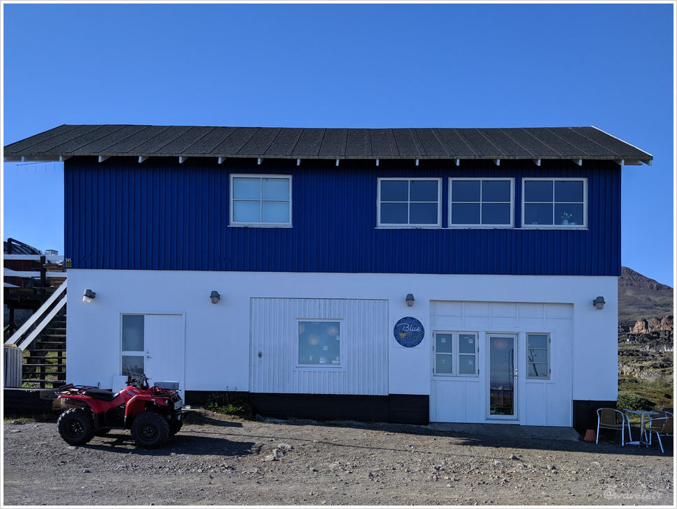
There weren’t many visitors in Viðareiði, and the village itself felt quiet and empty. However, we did notice a few guesthouses under construction or renovation. The owner of one kindly invited us to rest in the lobby. Overall, tourism in the Faroe Islands is gradually increasing.
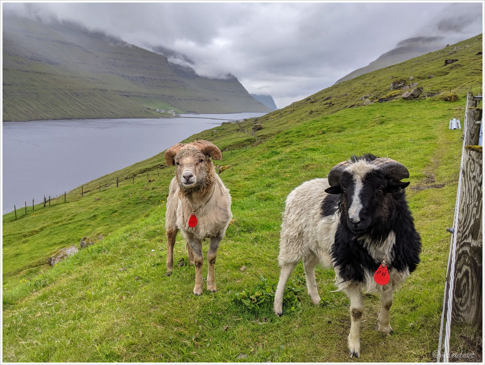
On our way back from Viðoy, we passed through the small town of Ánir, near Klaksvík, where a few sheep were wandering by the roadside. We stopped the car, and the sheep, completely unafraid of people, ran around us, want to be in the picture.
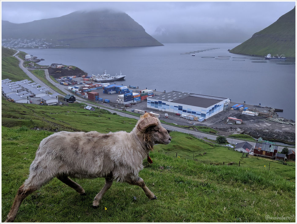
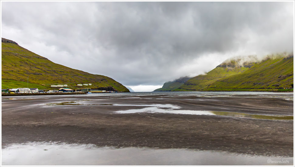
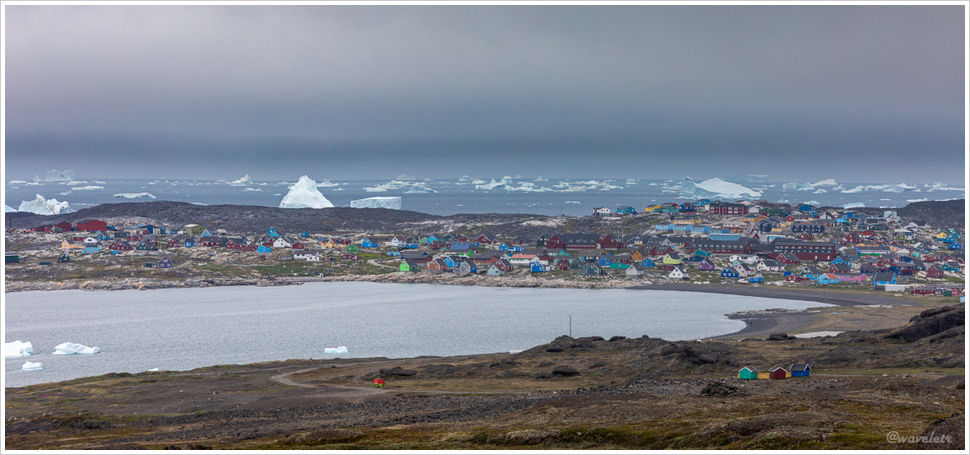
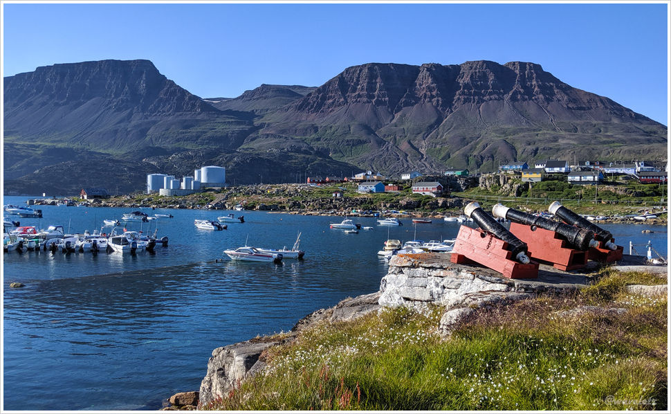
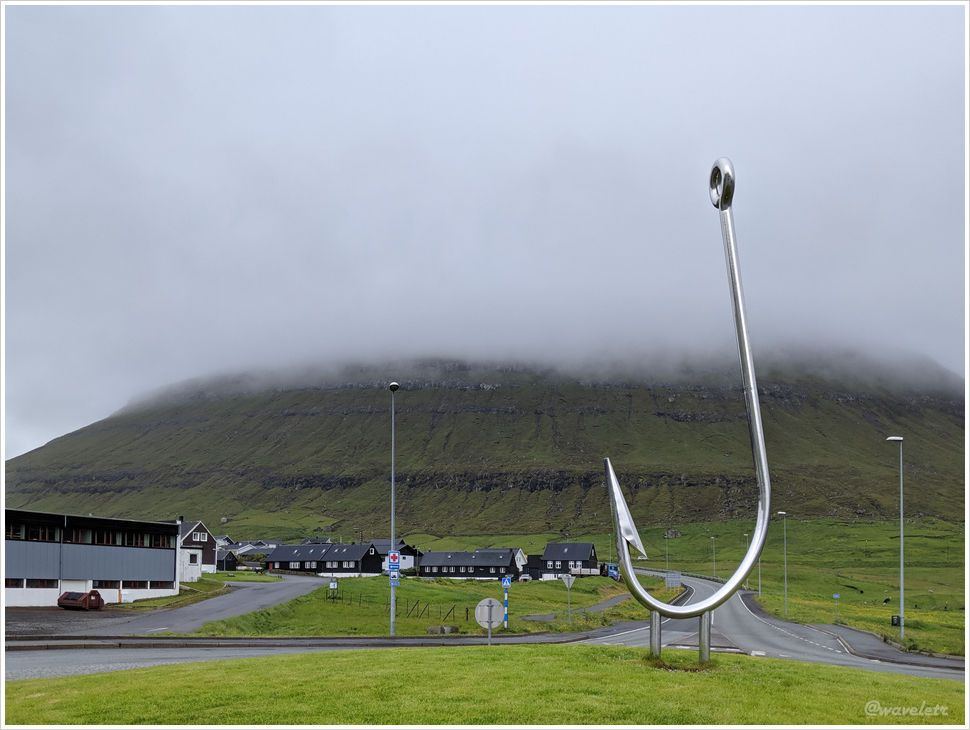
Klaksvík is the second-largest town in the Faroe Islands. Situated between two back-to-back fjords, it is an important port and fishing hub. Before entering the city, there is a roundabout with a sculpture shaped like a fish hook, perhaps symbolizing its fishing heritage.
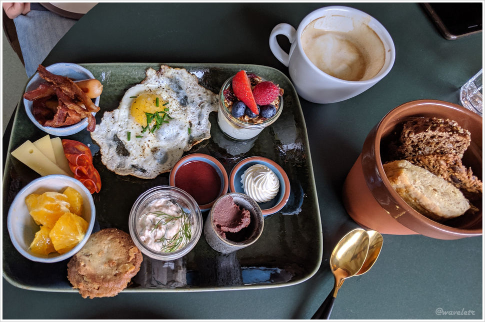
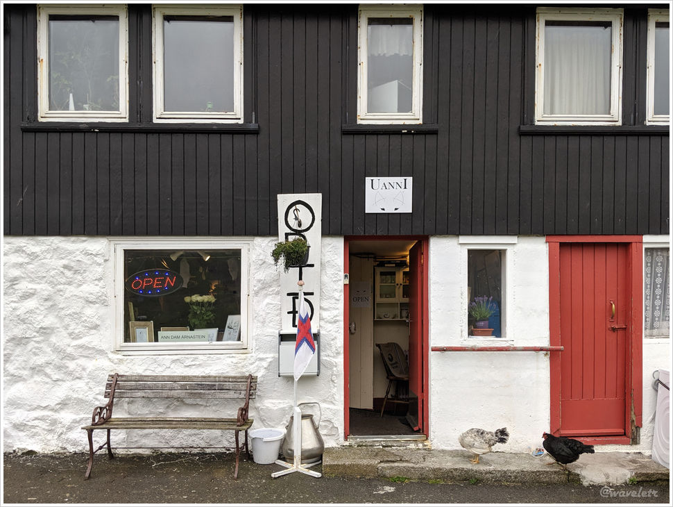
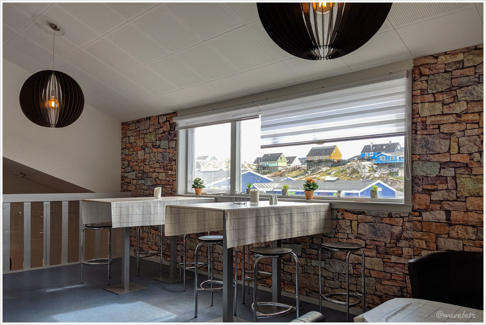
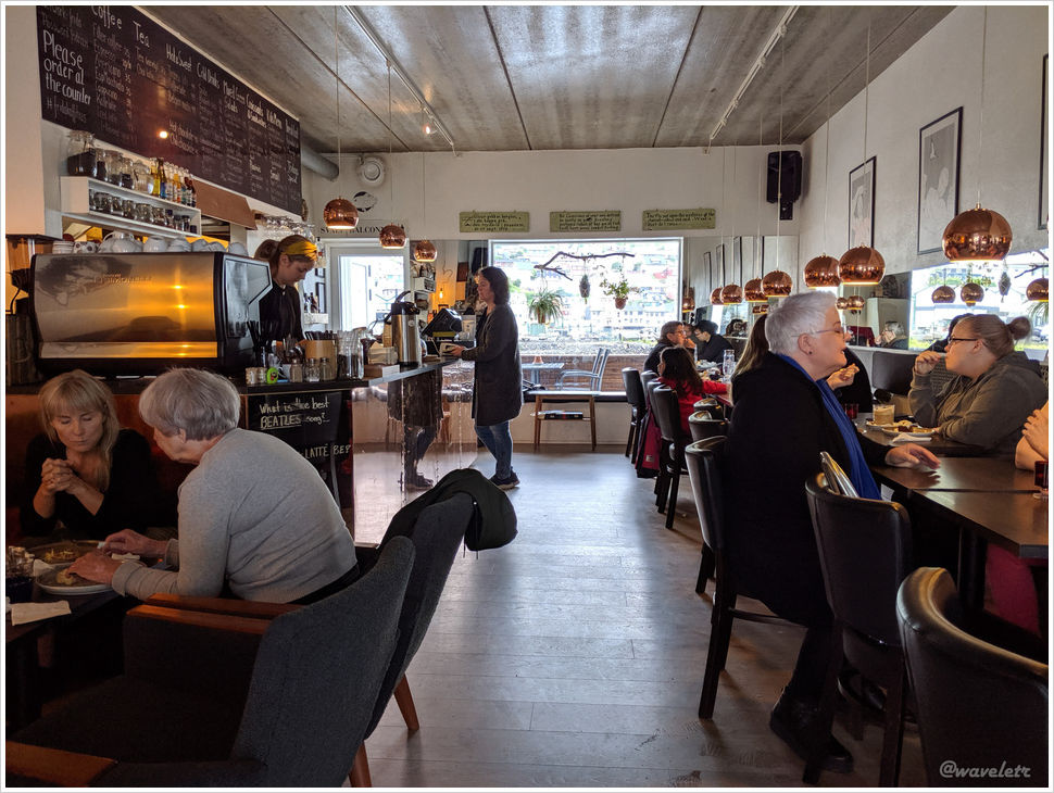
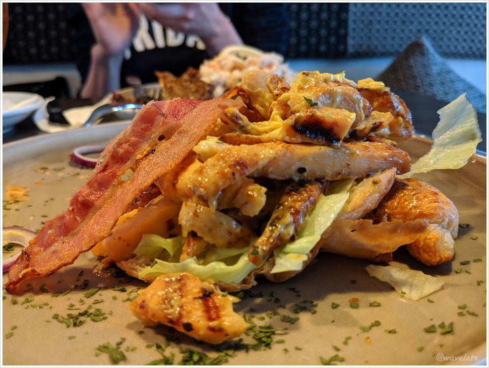
We had lunch in Klaksvík at a restaurant called Fríða Kaffihús, which we really enjoyed, so we returned there on our way back. Their curried chicken salad was especially flavorful.
In the evening, we stayed in Leirvík, on the other side of the Norðoya Tunnel. Tomorrow, we plan to take a boat to Kunoy Island.