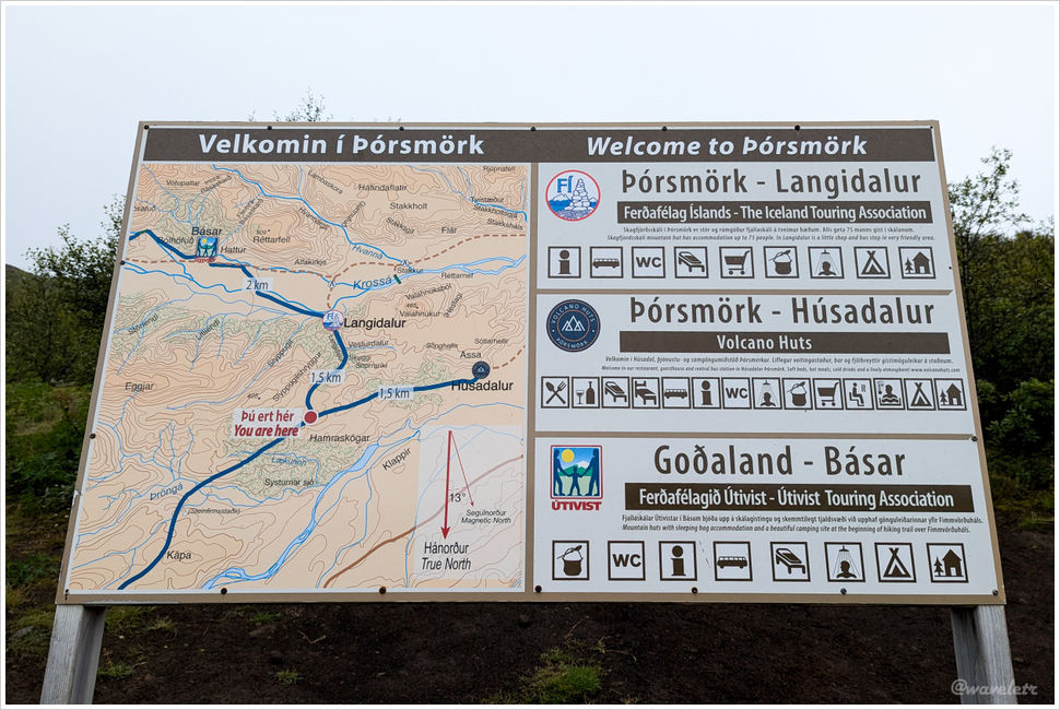
Iceland Highland Trek – Þórsmörk
2024.8.14
There are several good photography spots on the hills behind the Husadalur campsite. I scouted the route with a friend in the evening. Twenty minutes of climbing brought us to the ridge. The sky was overcast and flat at sunset. We didn’t find the loop trail we’d planned for the descent and retraced our steps.
The next morning an alarm pulled me out of sleep. The sky looked promising, so I headed up alone to shoot the sunrise.
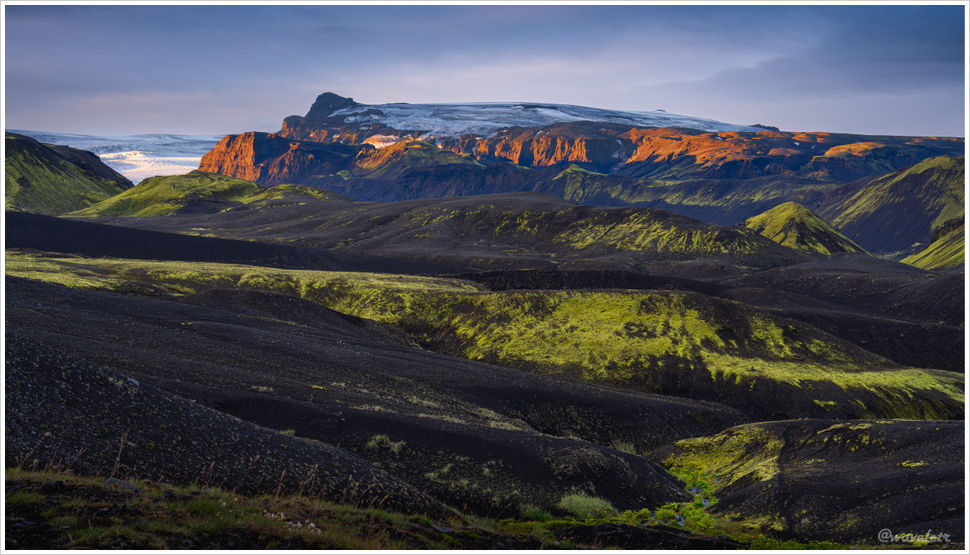
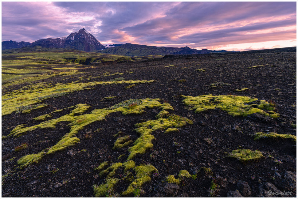
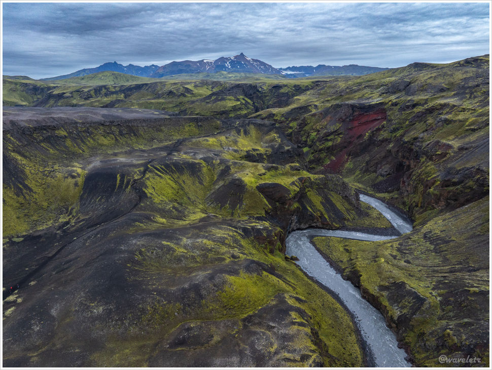
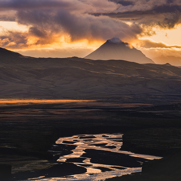
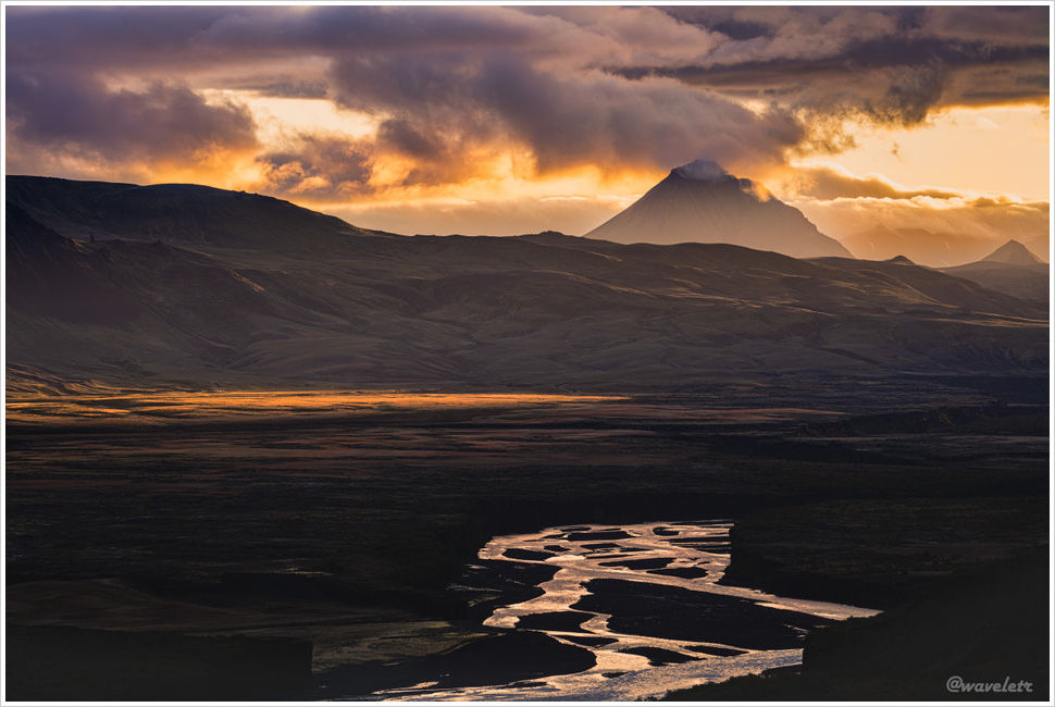
Reaching the flat ground on the ridge, the clouds overhead had already caught the sun’s color. Gradually the sun crested the mountain’s edge, first painting the cliff face to the right in bright red, then casting golden silhouettes across the grass below. The river in the distance mirrored the sky, tracing the winding lines across the dark earth.
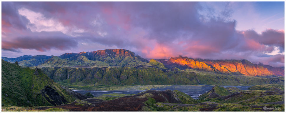
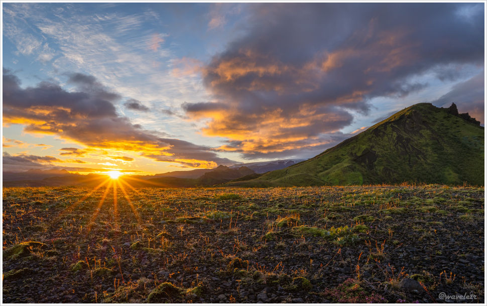
Most mornings on this trip had been cloudy. This morning finally delivered. Color returned to the land, gold and green, until the whole valley lay under sun.
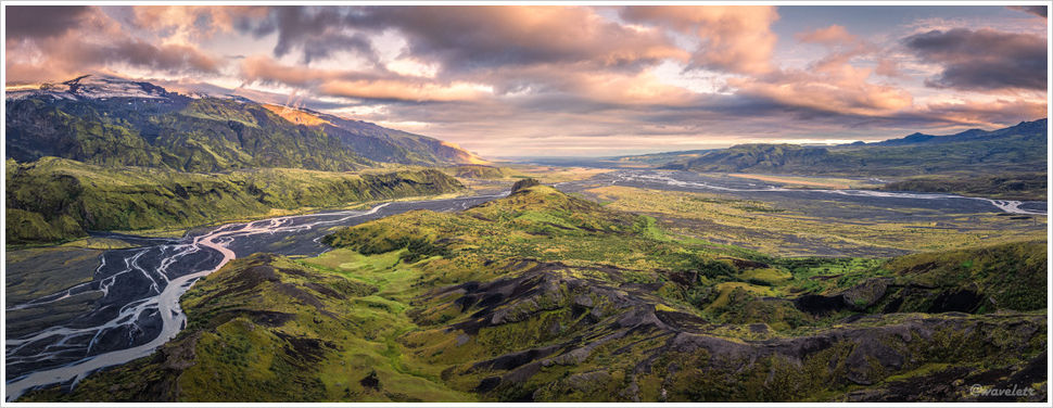

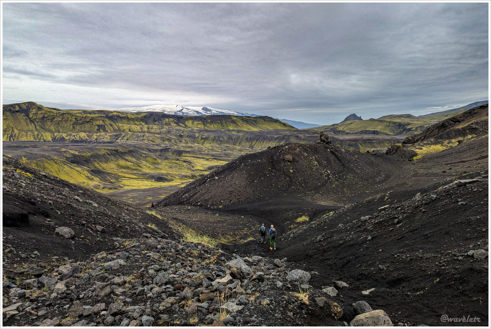
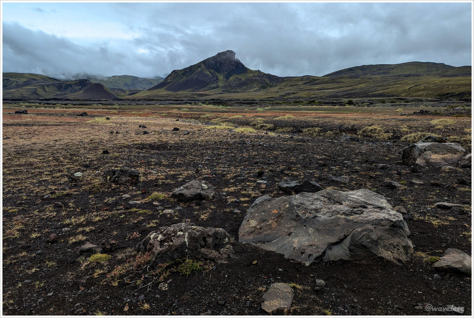
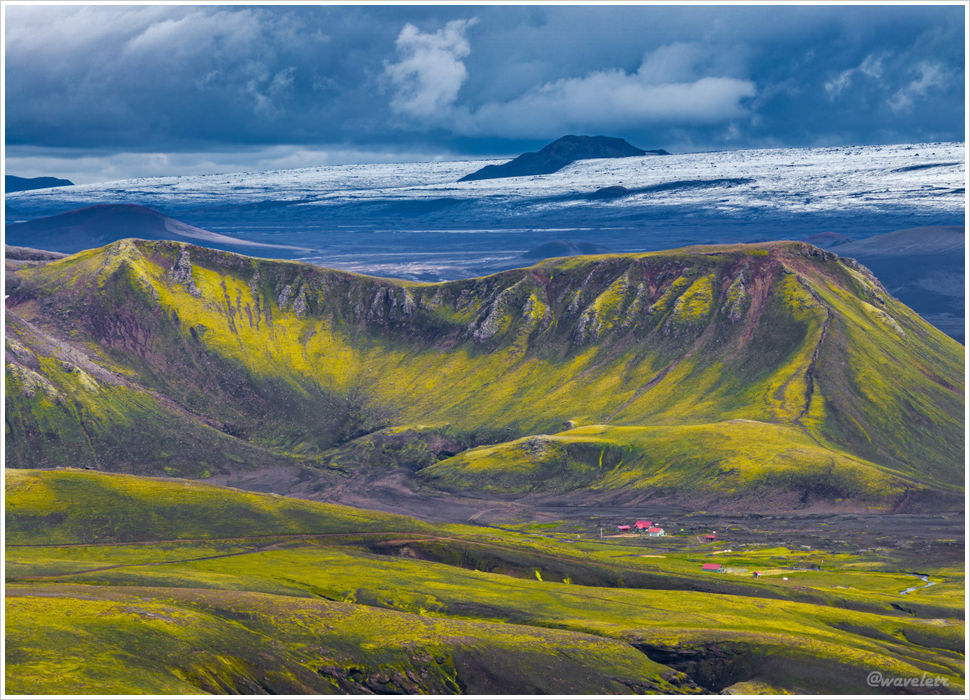
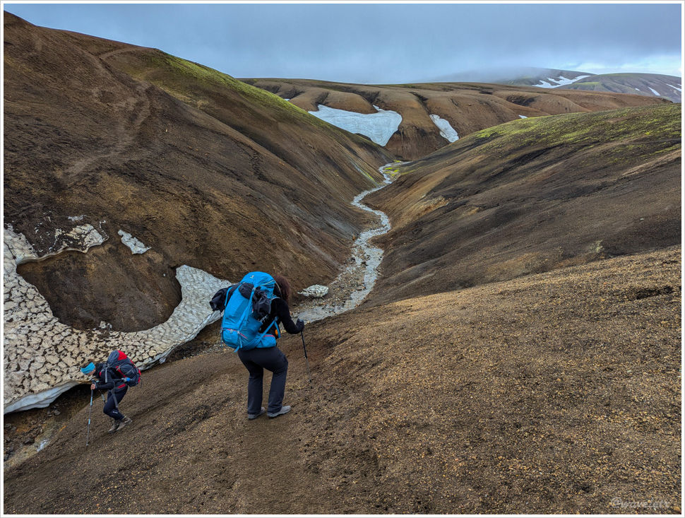
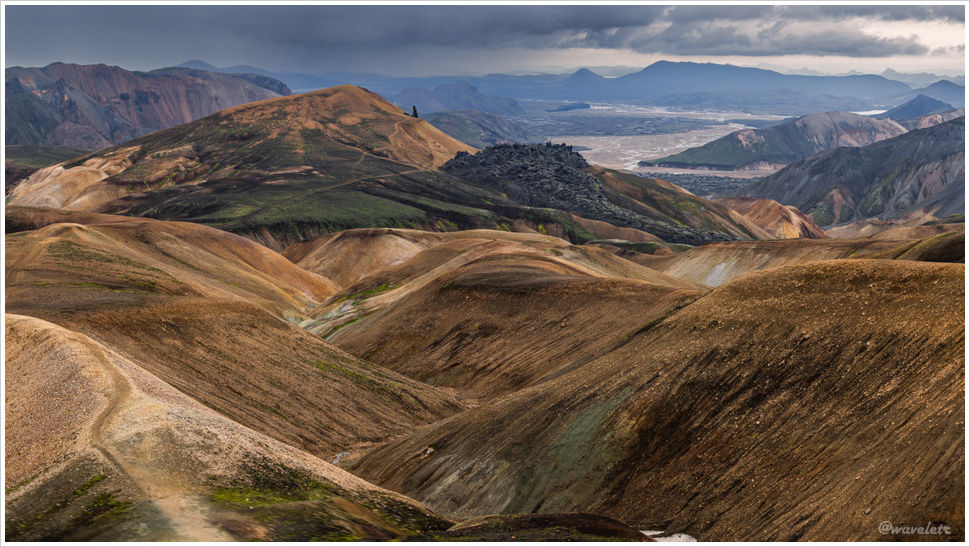
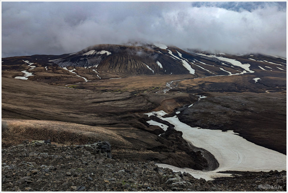
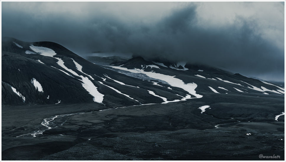
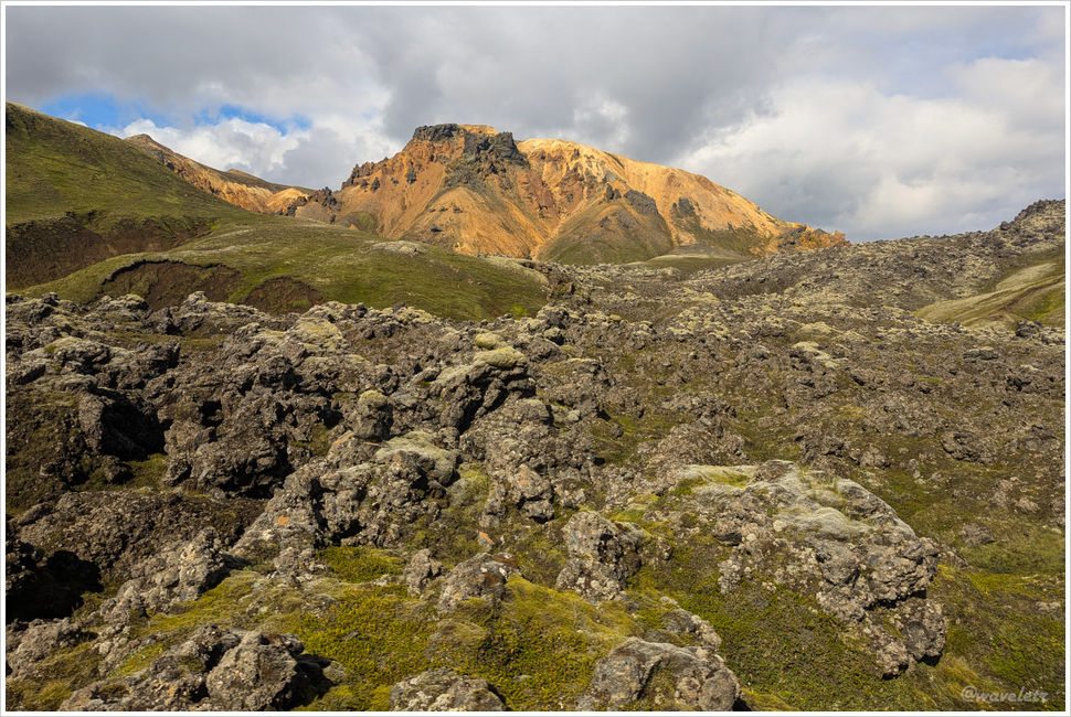
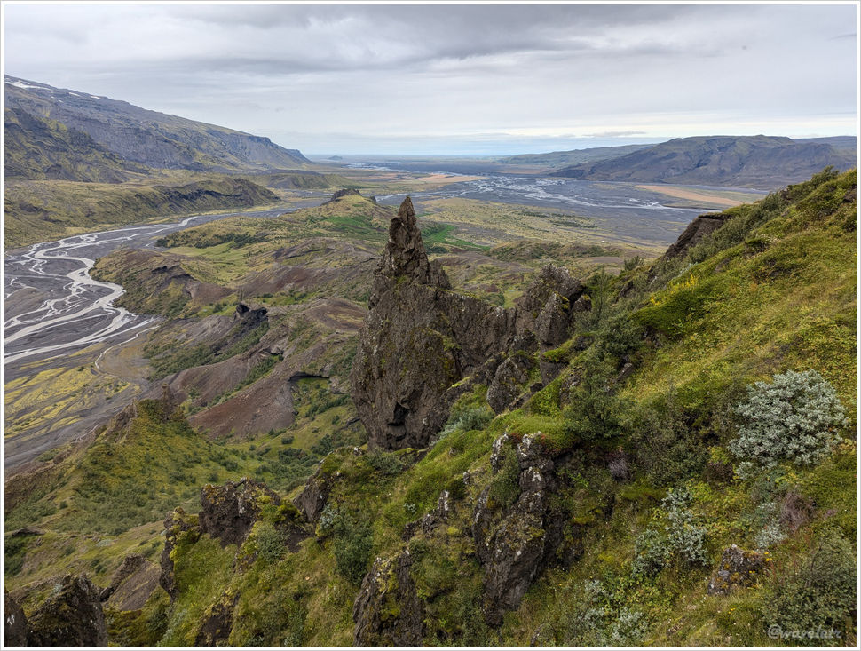
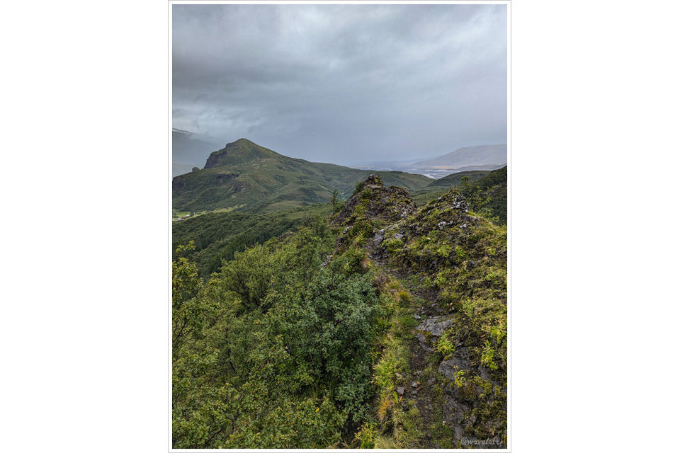
After breakfast, our group set out for the Laugavegur trail end. I climbed the hill behind camp for the third time, pushing all the way to the summit. Rocks on one side look like in hook shape. It would be a strong foreground element in good light for photography, but the sun retreated behind clouds again, drizzle followed, and the distant peaks dissolved into mist.

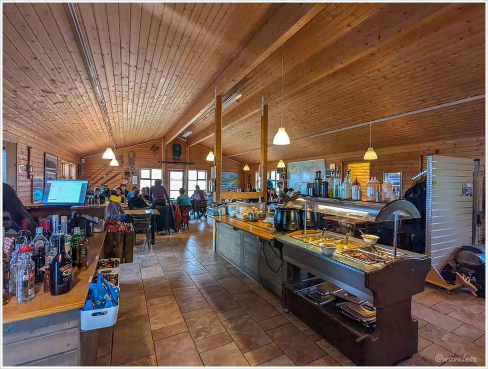
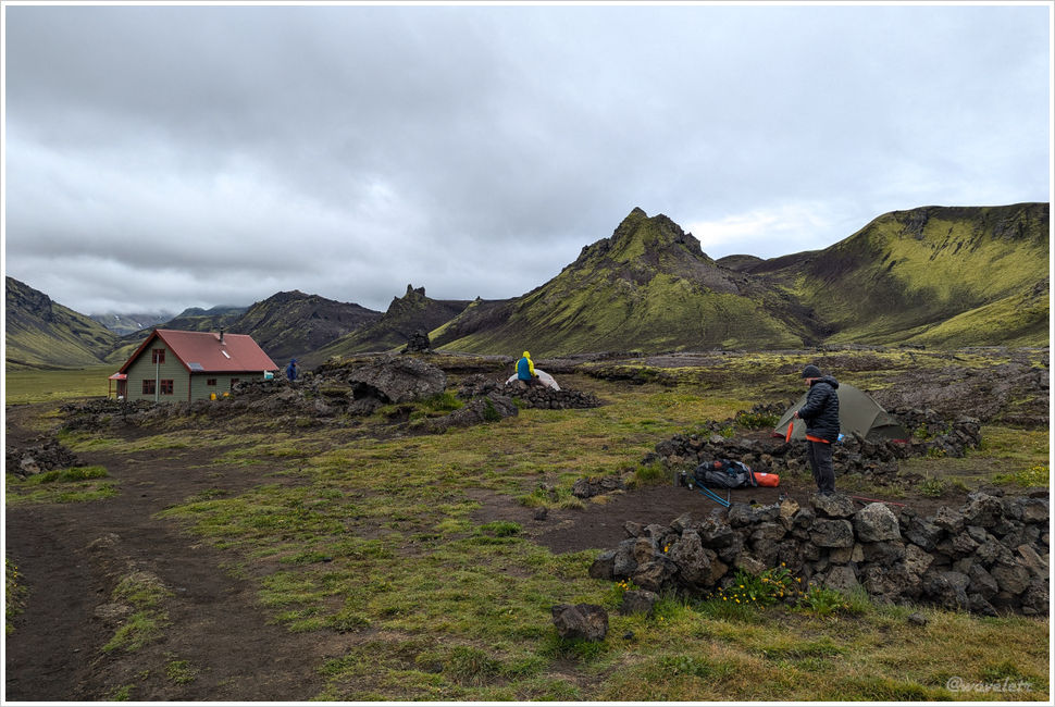
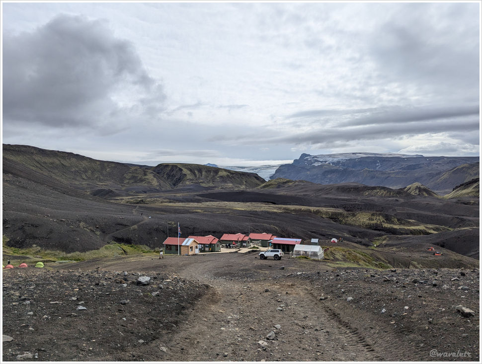
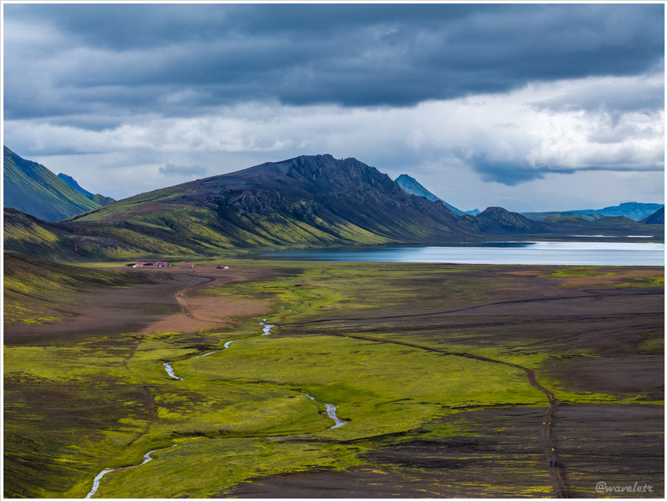
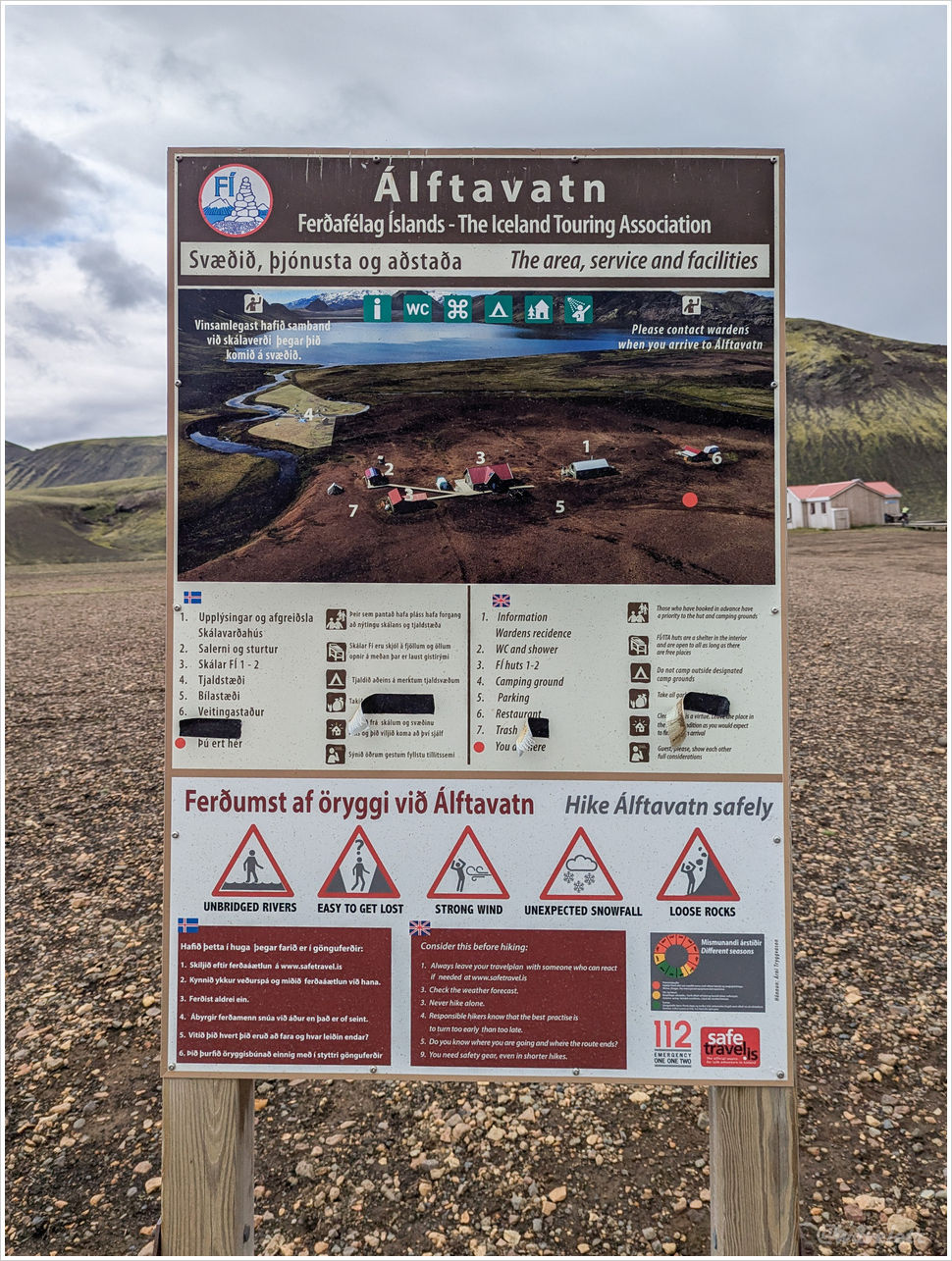
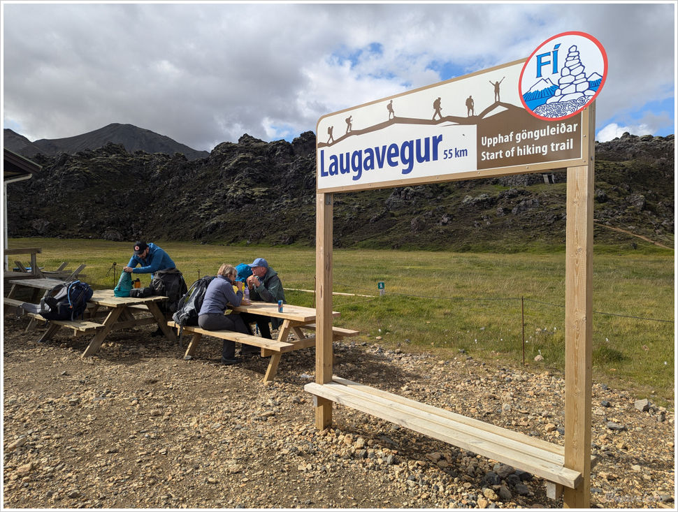
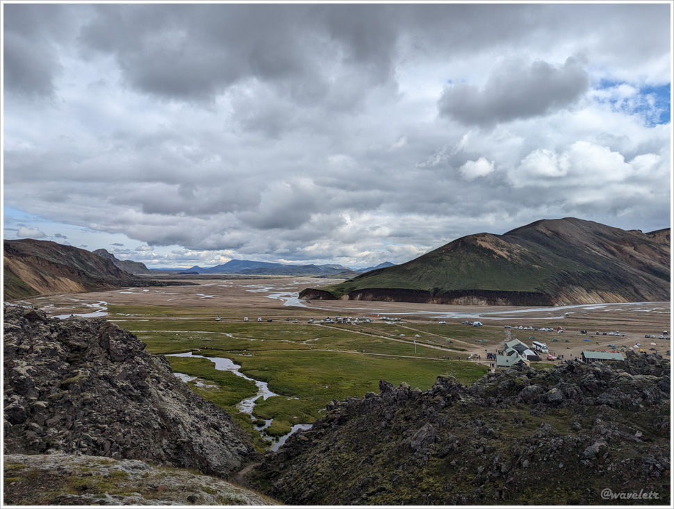
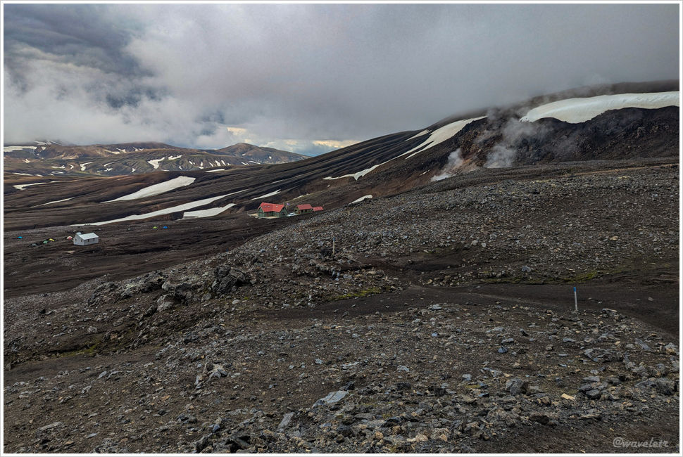
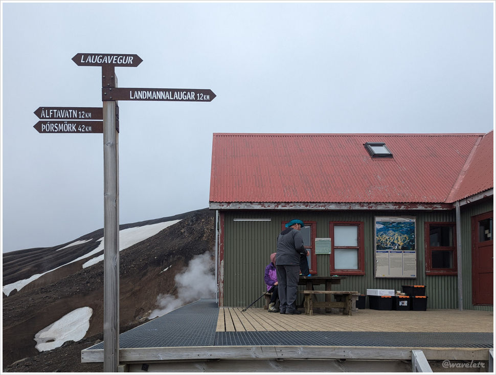
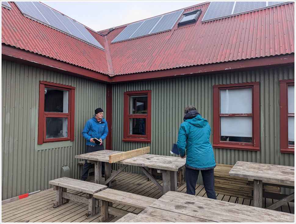
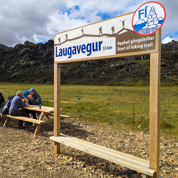
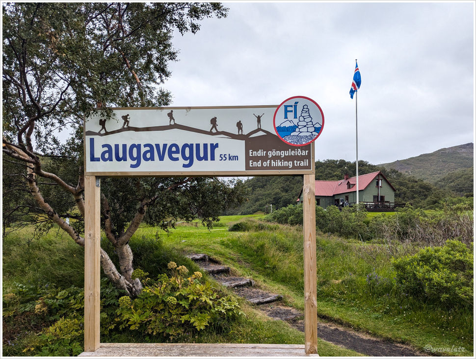
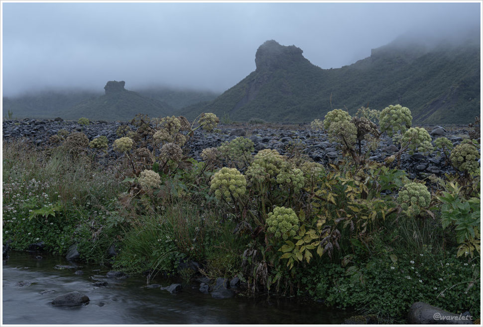
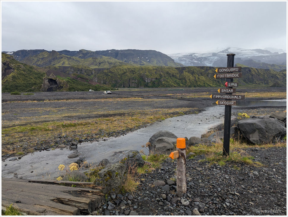
The drizzle wasn’t enough to derail the plan. We descended the other side and quickly reached Langidalur, the end of Laugavegur trek. A mountain hut sits here by the river, considerably rougher than the Husadalur campsite.
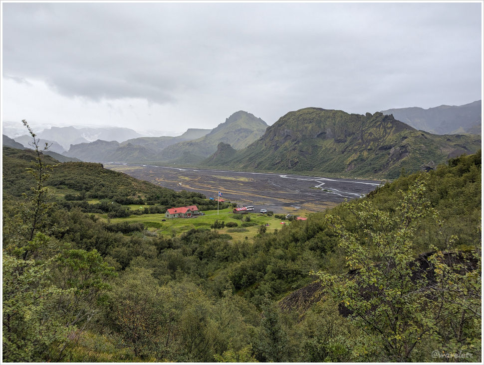
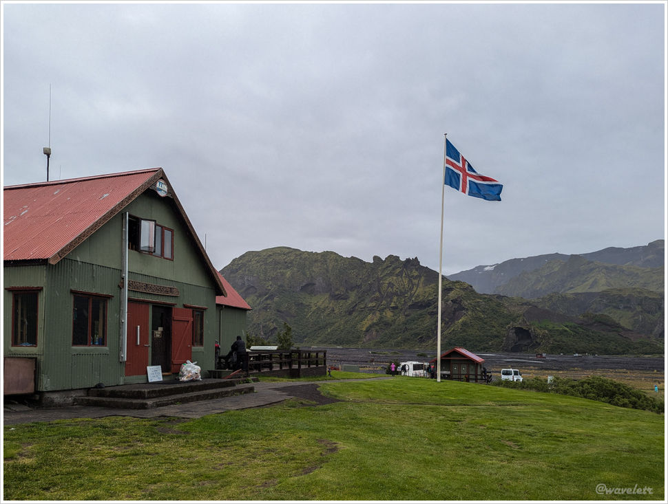
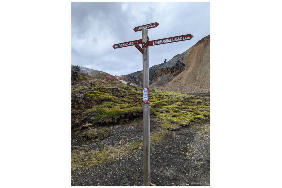
We took a group photo under the finish sign. 55 kilometers of Laugavegur, done!
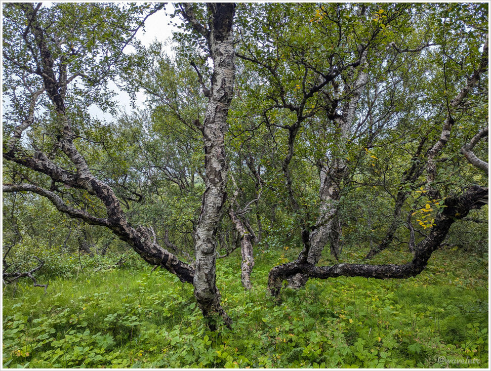
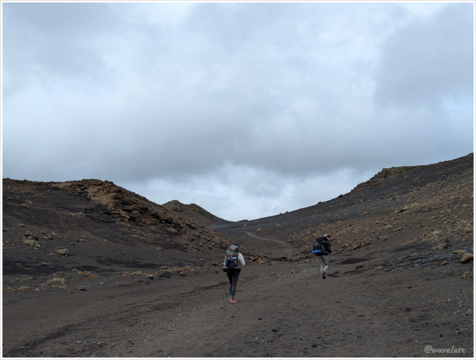
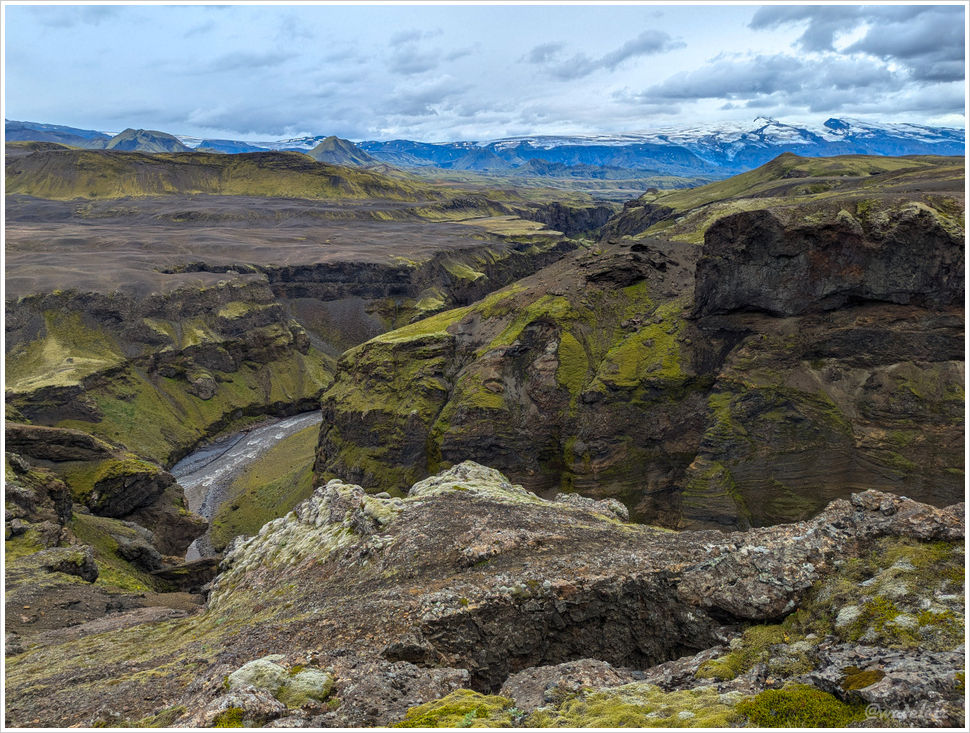
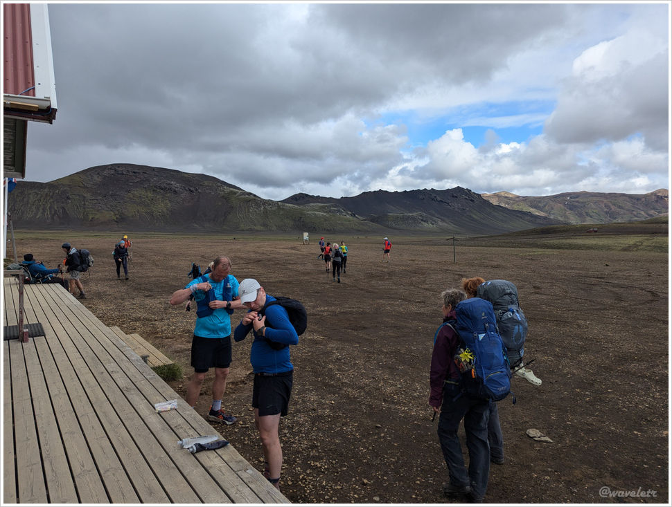
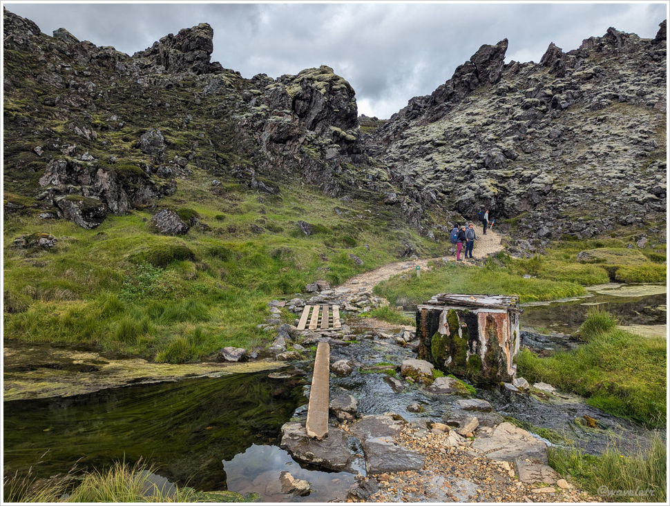
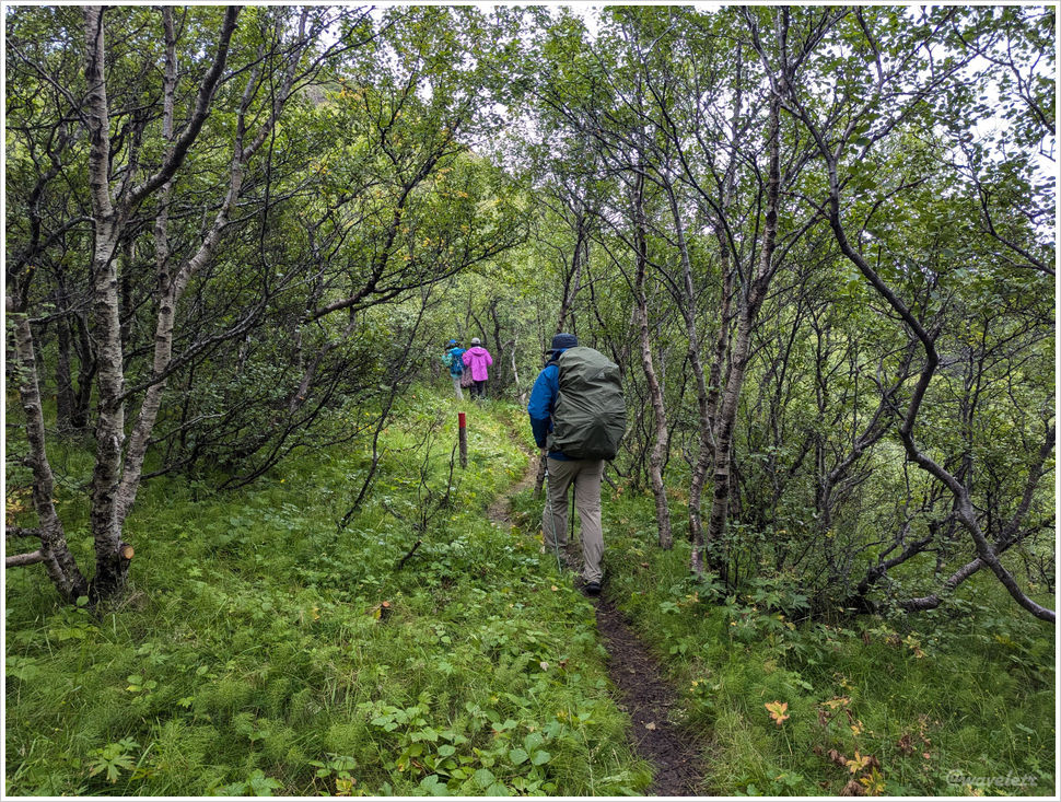
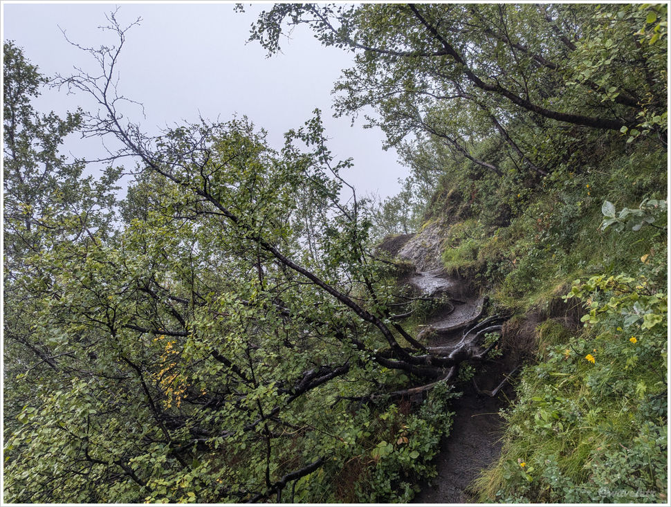
We’d originally planned a small loop — Langidalur, Gluggahellir, Steinbogi — but rain had turned the trails to mud. The path wound through forest and scrub, steep in places. Four days of hiking were behind everyone, and most had no appetite for anything unexpected. We reached the cave and turned back.
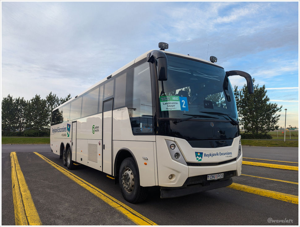
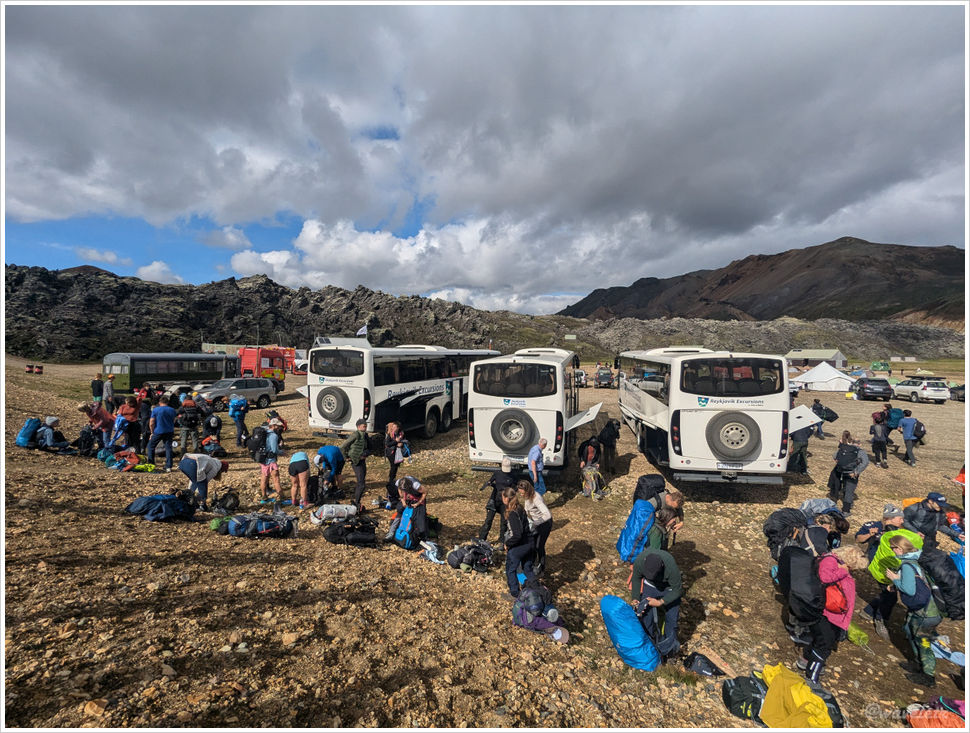
Others in our group caught the afternoon highland bus back to Reykjavík. I’d stay one more day here. The plan was to cross the river to Básar campsite and explore the peaks on that side the next morning. But the rain held, mist sat over the valley, and the forecast called for more of the same. I decided to stay another night at Husadalur.
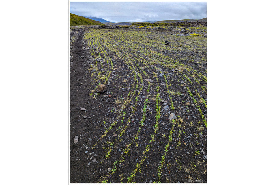
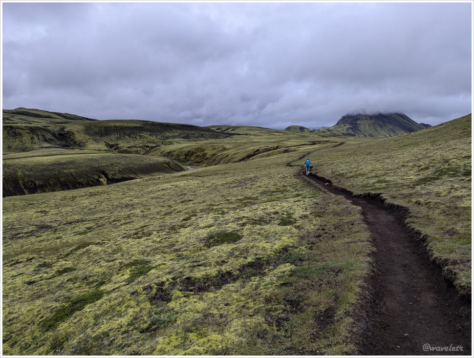
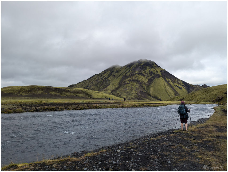
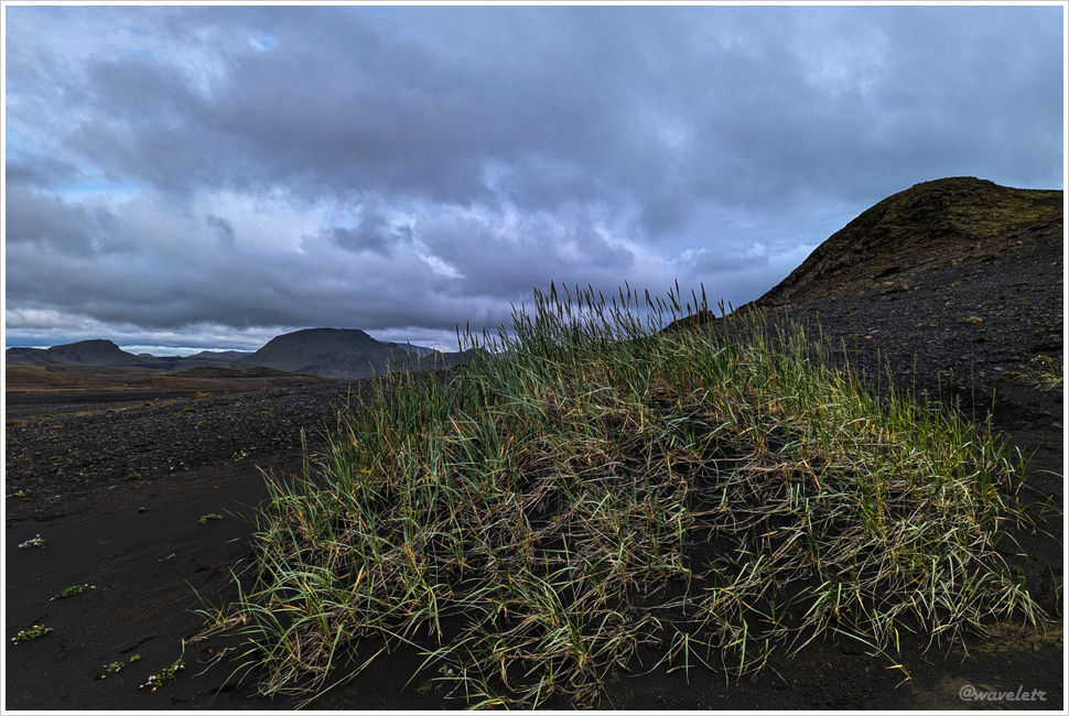
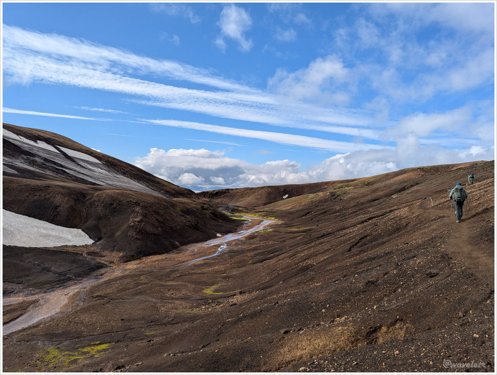
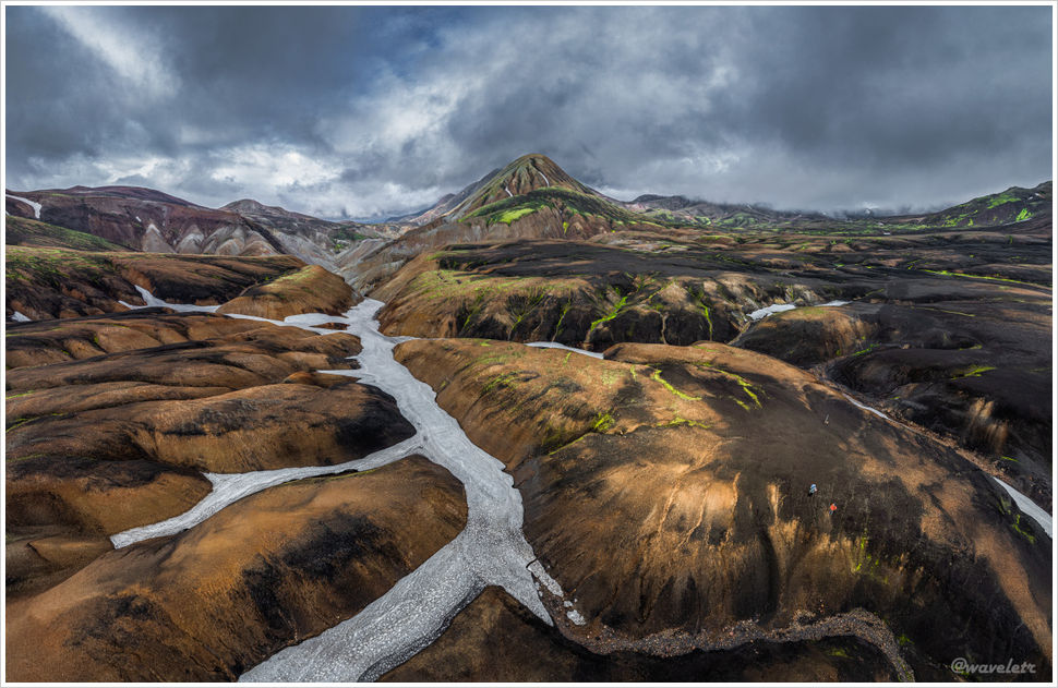
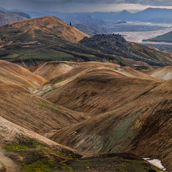
The next day was overcast, as expected. No rain at the moment. Have nothing else to do, so I set out on the Orange Loop. The circuit covers roughly 13 kilometers, named for its orange trail markers.
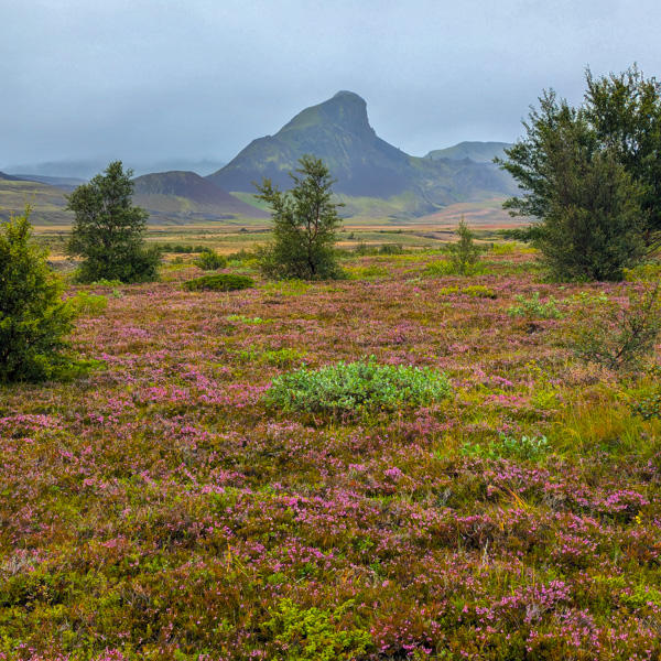
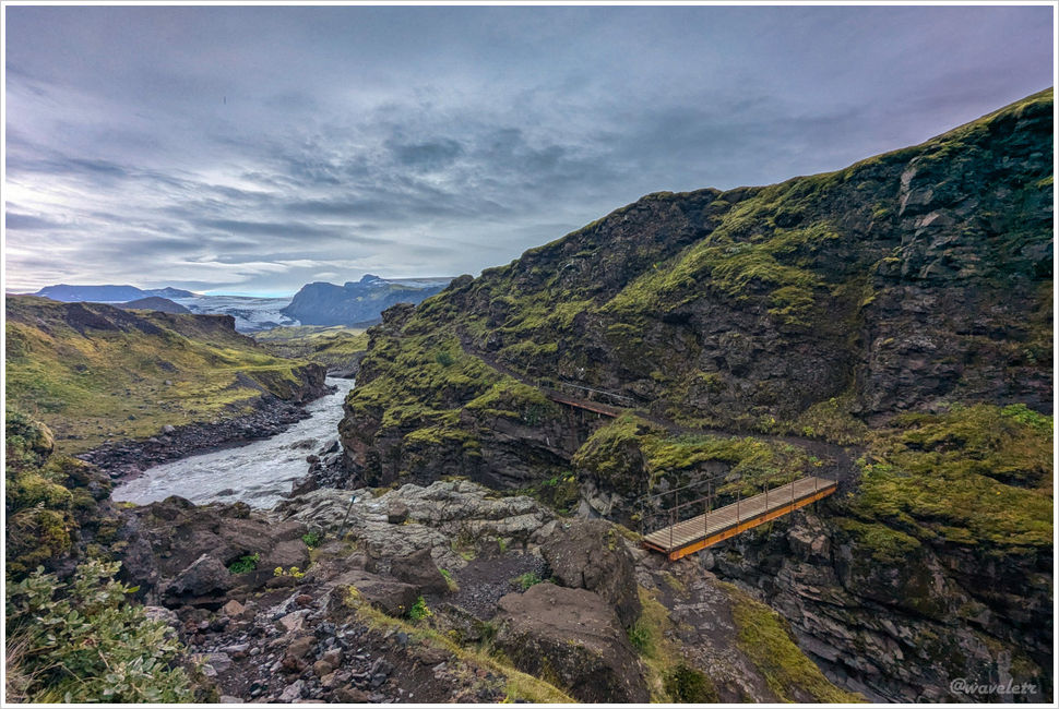
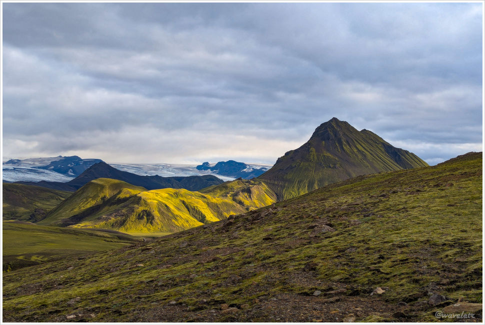
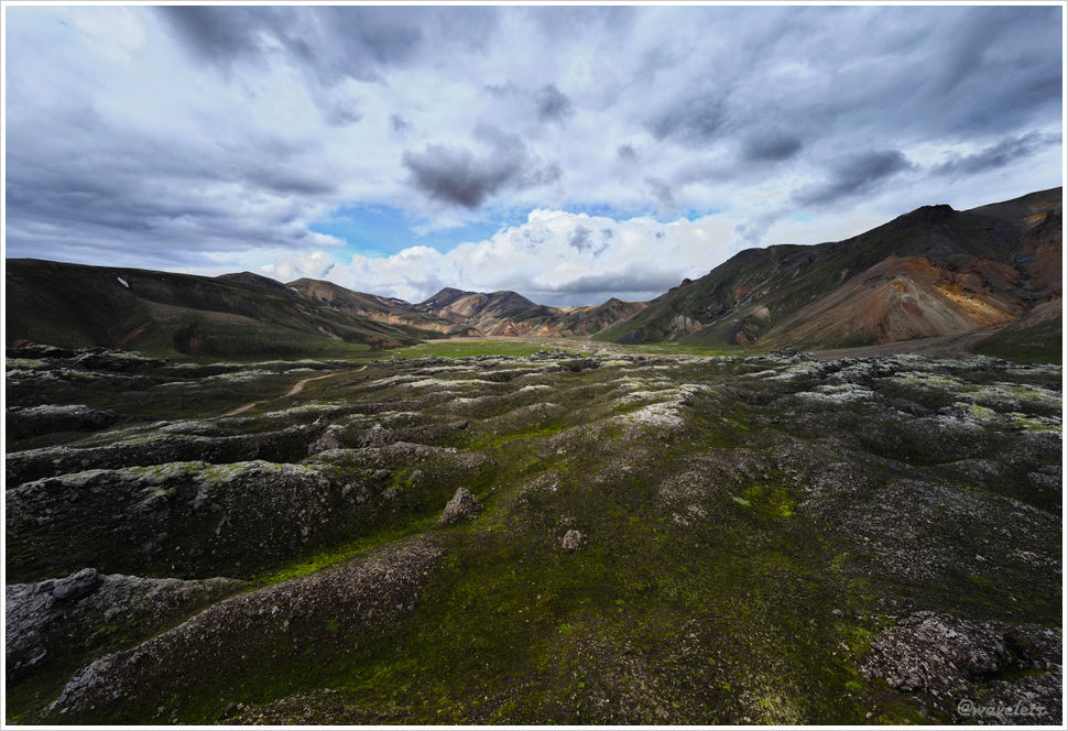
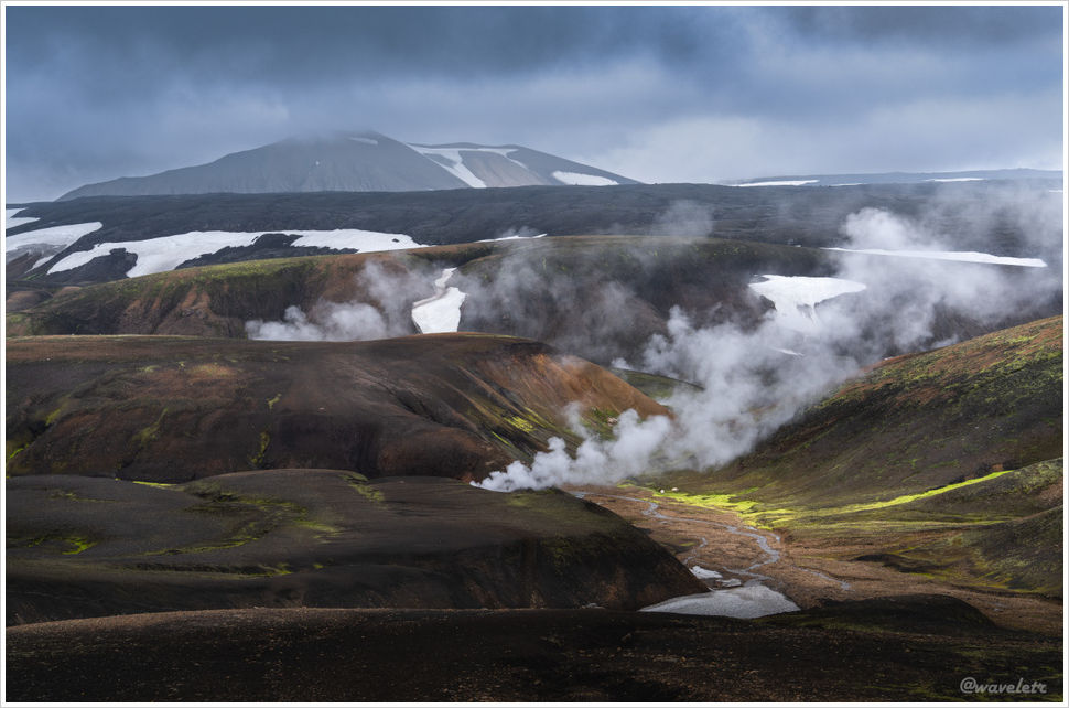
The route leads first to the Langidalur hut, then follows the Krossá River on a gentle track. Low cloud pressed down on the surrounding hills. The dramatic Iceland of photographs may be the exception; this grey, muted valley might be closer to the norm.
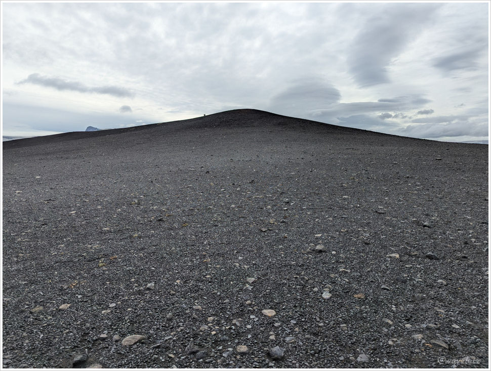
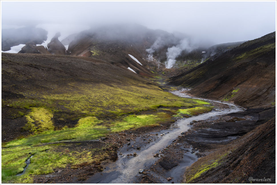
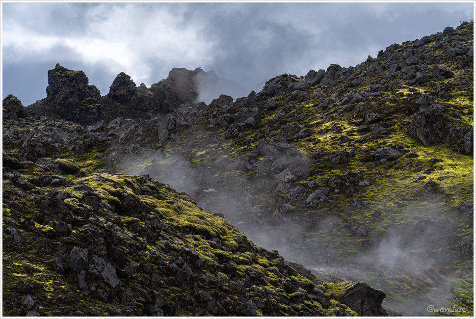
The trail then turned into the hills, climbing gradually as rain began to fall in scattered drops.
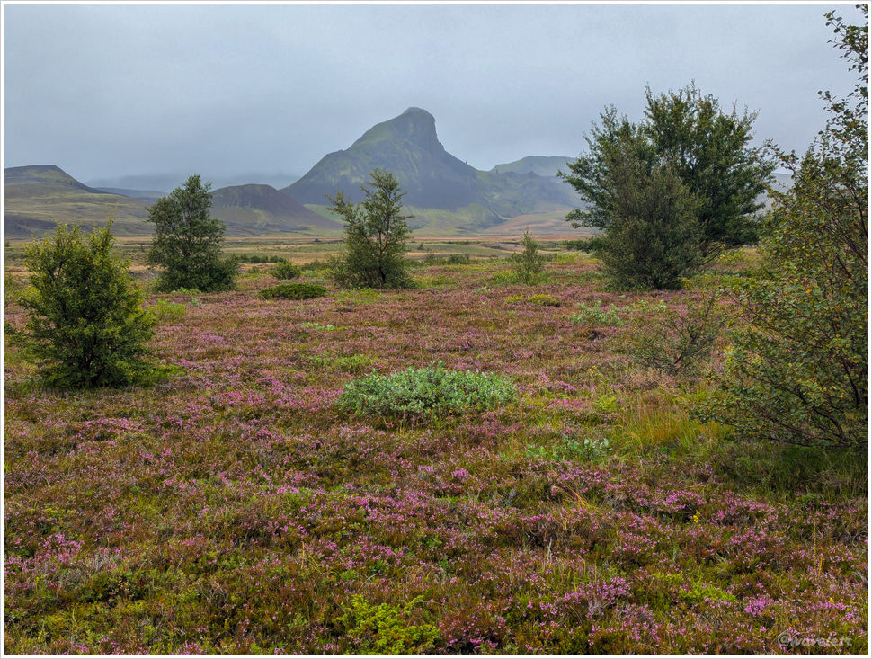
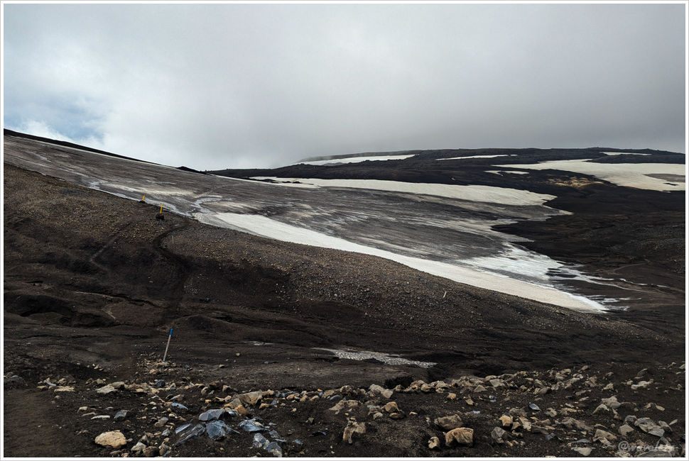
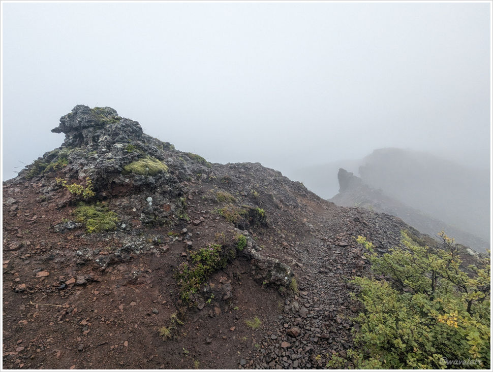
Rounding the heights of Tindfjöll, I reached the orange loop’s high point. A friend had mentioned good photography spots to the east from here. Visibility was down to no more than twenty or thirty meters. I rested briefly and continued the descent.

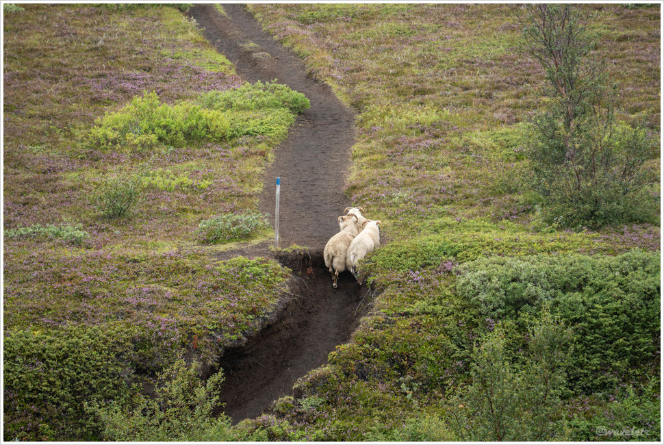
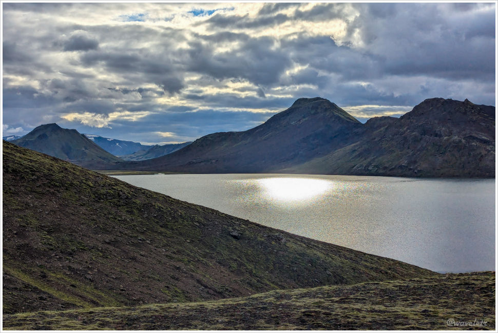
The trail on this side traversed a river valley along the hillside. I passed several groups coming the other way, all guided. Clockwise appears to be the intended direction.

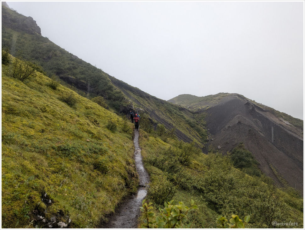
Rain fell without pause. The shell jacket held well. After more than two hours in the wet, the inner layer had turned a little damp but the base layer stayed dry. The trousers and socks fared worse. Pushing through brush near the end, rain ran down the legs and into the boots.
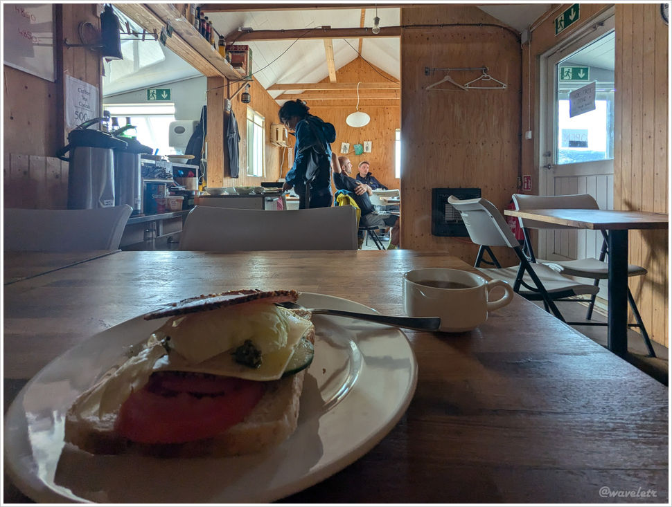
The full loop took about four hours. I was back at Husadalur by eleven in the morning. I had lunch in the hall, then a wait for the afternoon bus. The room was crowded, but the radiators gave little warmth, which only sharpened the sense of cold outside.
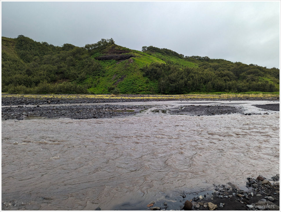
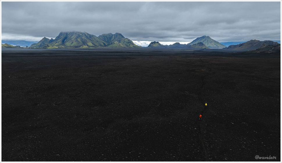
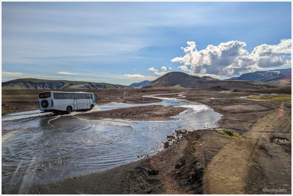
The highland bus left at 4pm. Crossing the Krossá riverbed, I spotted another bus stuck in the river, could be caused by a blown tire. Even these purpose-built vehicles find the terrain unforgiving.

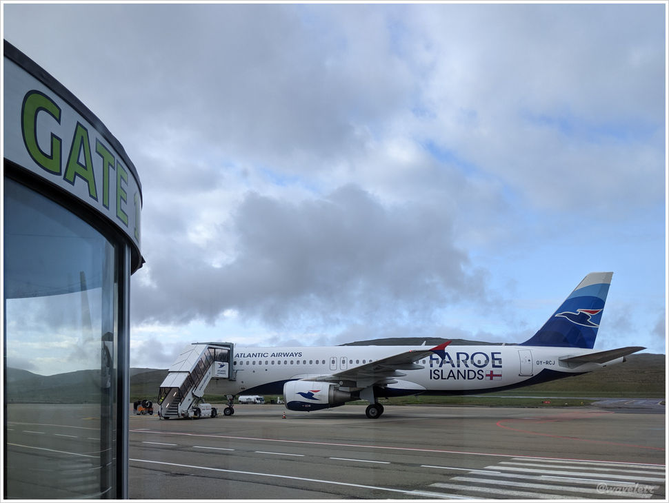
It took me some time to get the rental car at Reykjavík airport. The car I rent is a Jeep Renegade 4WD. I had no plans to push deep into the highlands, but a stretch of unpaved road seemed likely, so the small 4WD made sense.
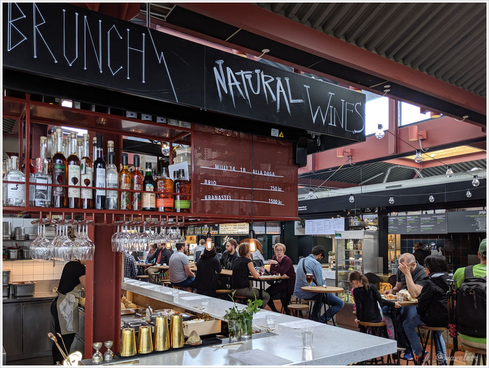
I had the dinner just outside the city. The place I’d stay near Vík was still two hours away. I arrived in heavy rain past ten at night, a rough end to the day. But tomorrow is another day.