2019.6.28
Speaking of the North, it’s natural to think of the line from “Game of Thrones” – “The North remembers!” The North that we experienced wasn’t as cruel and ruthless as it is portrayed in the show, but instead was equally remote and magnificent. So let’s use this line as the opening for these posts.
Just a few years ago, my knowledge of Greenland was limited to it being the world’s largest ice-covered island, with no idea that people lived there and that it was a place to visit. A colleague of mine grew up on Greenland, and he told me that from his doorstep, he could see a bay filled with floating icebergs, and that planted a seed in my mind. The Faroe Islands were even more unfamiliar to me, mentioned briefly in a geography textbook until I stumbled upon a photo of a waterfall flowing into the sea online. I vividly remember my amazement upon seeing that photo for the first time – there are places like this in the world! Then there were the lighthouses perched on cliffs, lakes floating on the sea, and I realized that the Faroe Islands were the latest paradise for photographers.
The itinerary was quite complex as we had to visit multiple places on two islands, with several layovers in Iceland. We had planned the trip almost a year prior, but decided to postpone it as we didn’t feel fully prepared and instead went to the Galapagos Islands the previous summer. Finally, in the summer of 2019, we were able to make the trip happen.
The direct flight from San Francisco to Iceland landed at Keflavik Airport at 6:30 am. The airport is located 50 kilometers from Iceland’s capital city, Reykjavik. The airport was newly built with brightly colored facilities. Since our flight to Ilulissat was not scheduled to depart until 10:15 am, we had plenty of time to have a breakfast. However, after we finished eating, we couldn’t find the next flight on the airport’s departure board. It was then that I realized that the flight to Ilulissat actually departed from Reykjavik Airport, not this airport named after the capital city, which is not Iceland’s main international airport.

Keflavík Airport, Iceland
The bus from the airport took about 50 minutes to reach Reykjavik Airport, and we still had plenty of time. Along the way, we saw Iceland’s otherworldly landscapes. Although Iceland wasn’t the main focus of this trip, we knew we would return to explore it further in the future!

Enroute to Reykjavik Airport, Iceland
It started to drizzle, which is probably the most common weather in Iceland. Reykjavik Airport was small, with only one waiting lounge and two boarding gates, but the travel advertisements on the walls of the waiting lounge were really exciting!

Reykjavik Airport, Iceland

Reykjavik Airport, Iceland
As the boarding time approached, we were taken to a small room to wait, but the plane had not arrived. It was chilly outside, but the room was exceptionally hot. We waited for about 40 minutes before we were finally able to board. The small propeller plane could hold around 20 people, similar to those flying from Athens to the Greek islands. The flight was over four hours long, and from the map, it seemed that Ilulissat was very close to Canada. If there were direct flights from Canada or the East Coast of the United States, it would have saved a lot of time.

Flight to Ilulissat, Reykjavik Airport, Iceland
Take a look at the place when the plane is about to land!

Landing in Ilulissat, Greenland
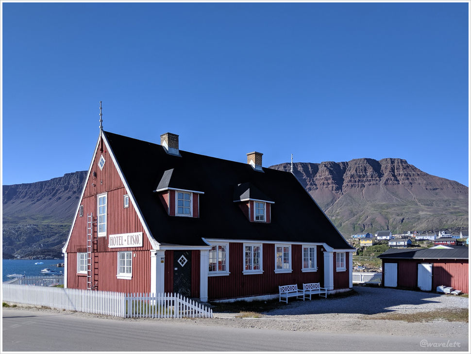
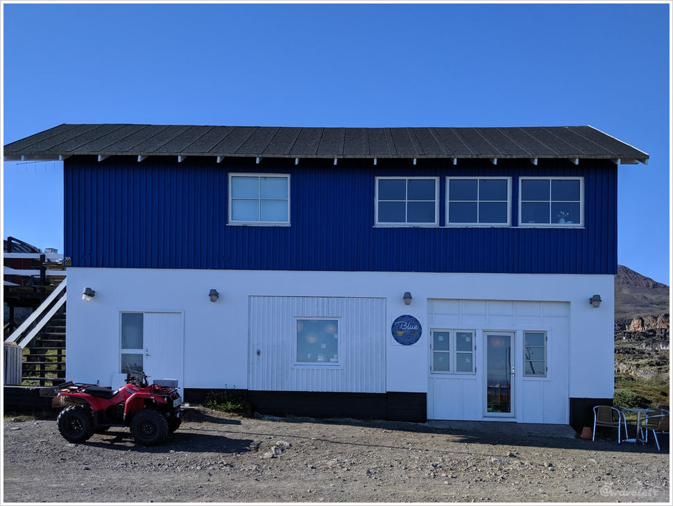
We stayed at Hotel Icefiord, which may not be as highly rated as Hotel Arctic, but it is closer to several famous hiking trails in Ilulissat and is also close to shops and restaurants in town, so we felt it was a better choice. The hotel sent a car to pick us up, and even before we entered the hotel, I couldn’t wait to take a few photos behind the hotel.

Hotel Icefiord, Ilulissat, Greenland

Hotel Icefiord, Ilulissat, Greenland
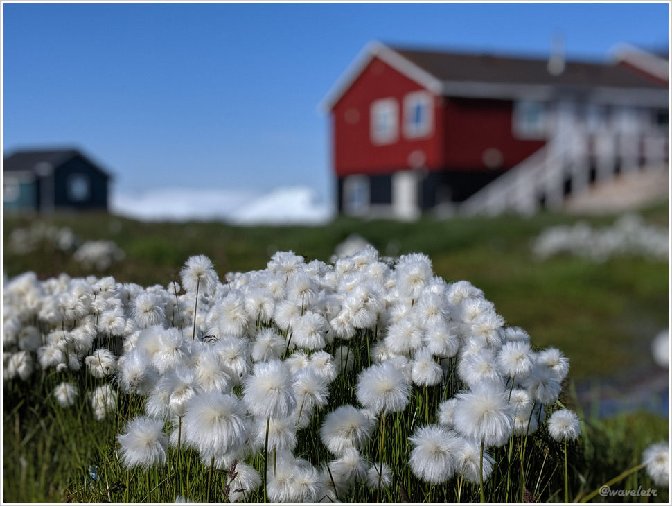
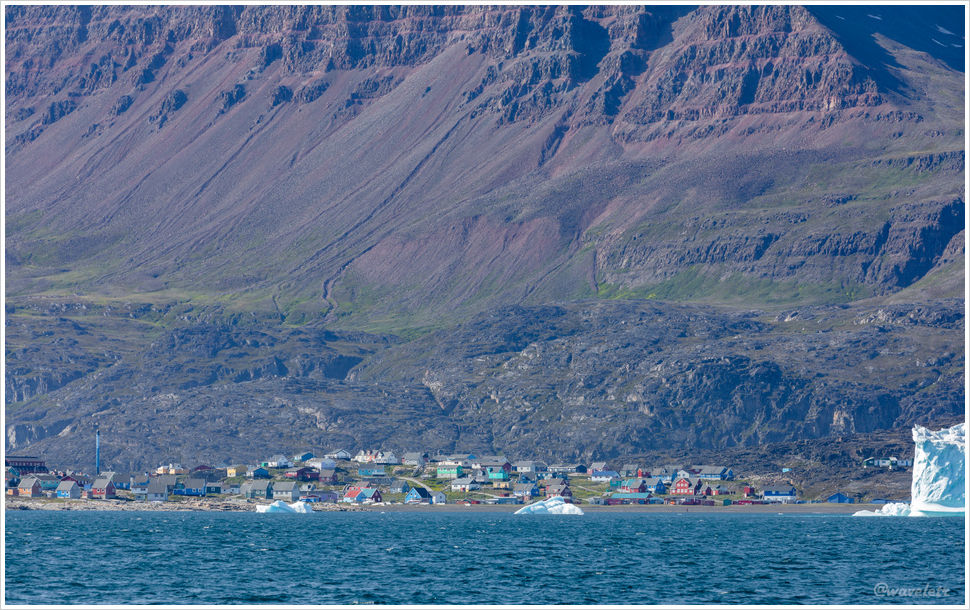
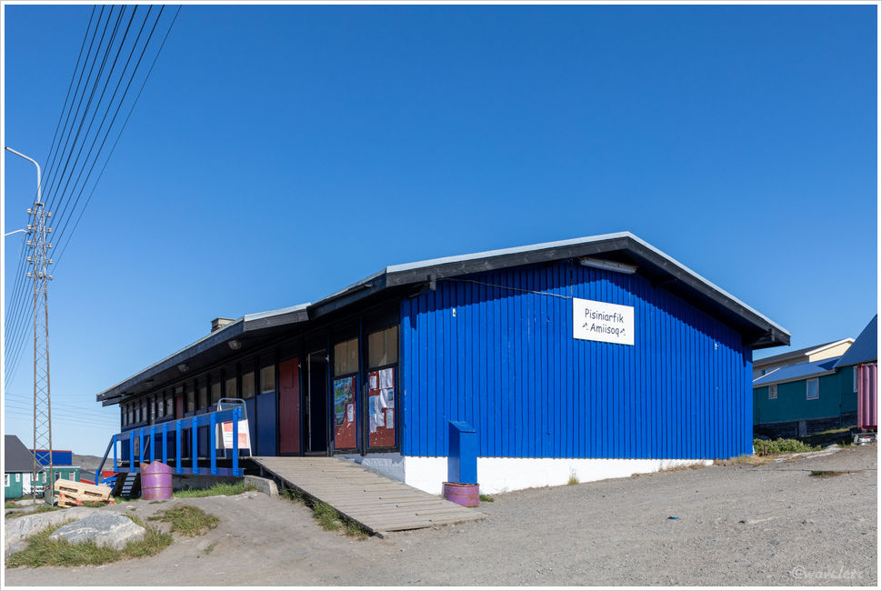
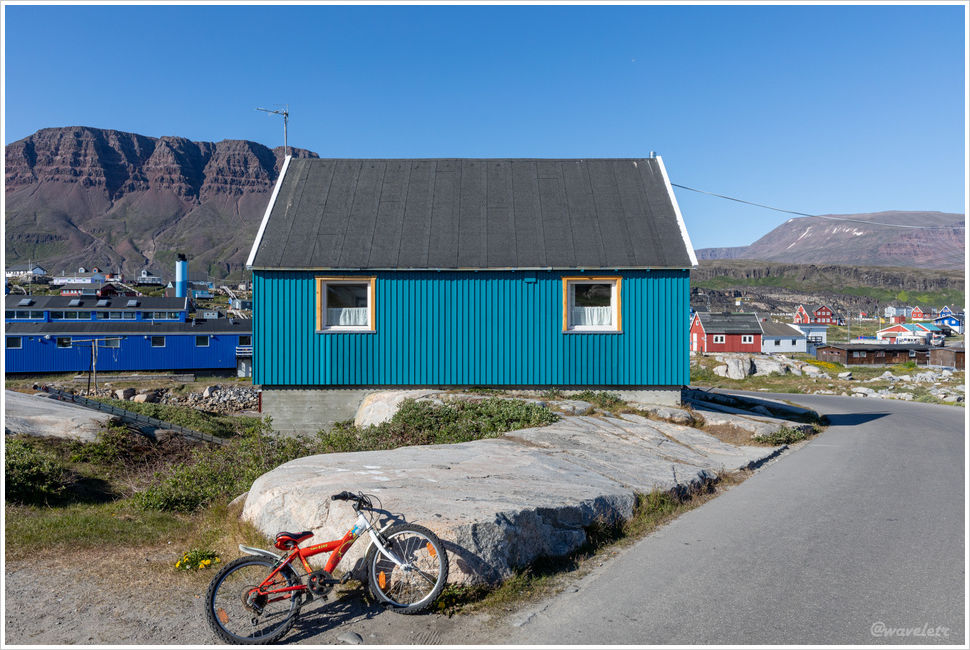
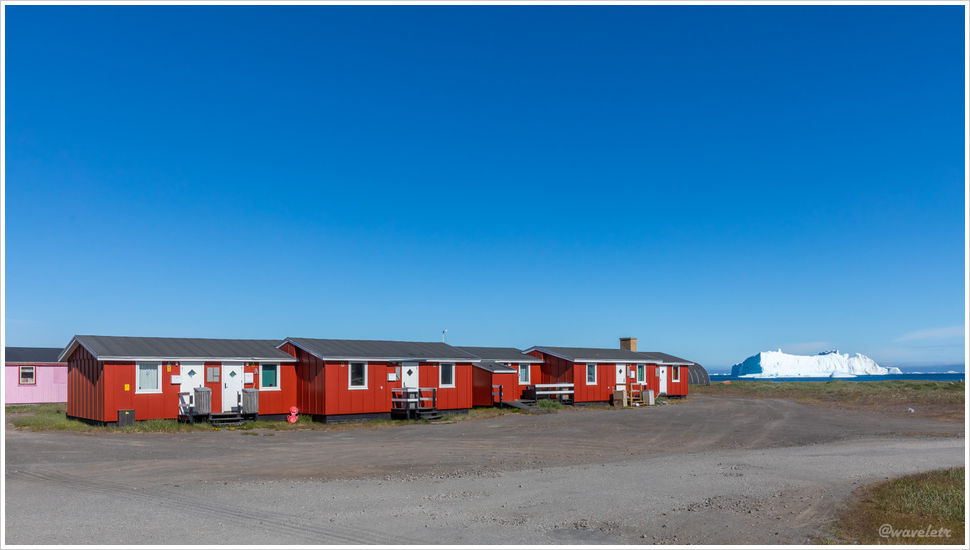
It was already past lunchtime, but the hotel restaurant still had a small selection of dishes available. While waiting for the food, I went for a walk around the area. One of the characteristic features of guesthouses in Greenland are the brightly colored small houses. As I walked south from the hotel, I saw many of these houses built along the coast, and I took a photo of one of them by the roadside. In the foreground were wildflowers, while in the distance there were icebergs floating in the bay.

Near Hotel Icefiord, Ilulissat, Greenland
It was unexpected that the food options at the hotel was quite nice. One set included fried cod and shrimp, while the other had smoked fish, lamb, and deer meat. Holding a glass of wine, walking along the wooden walkway outside the door, we could go all the way to the cliff by the sea. Although the sea breeze was chilly, the sunshine felt warm on our skin, and the boundless beautiful scenery was right in front of us.

Hotel Icefiord, Ilulissat, Greenland

Hotel Icefiord, Ilulissat, Greenland
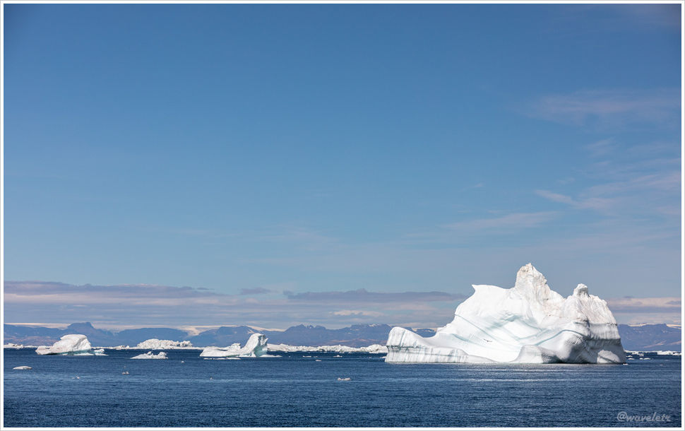
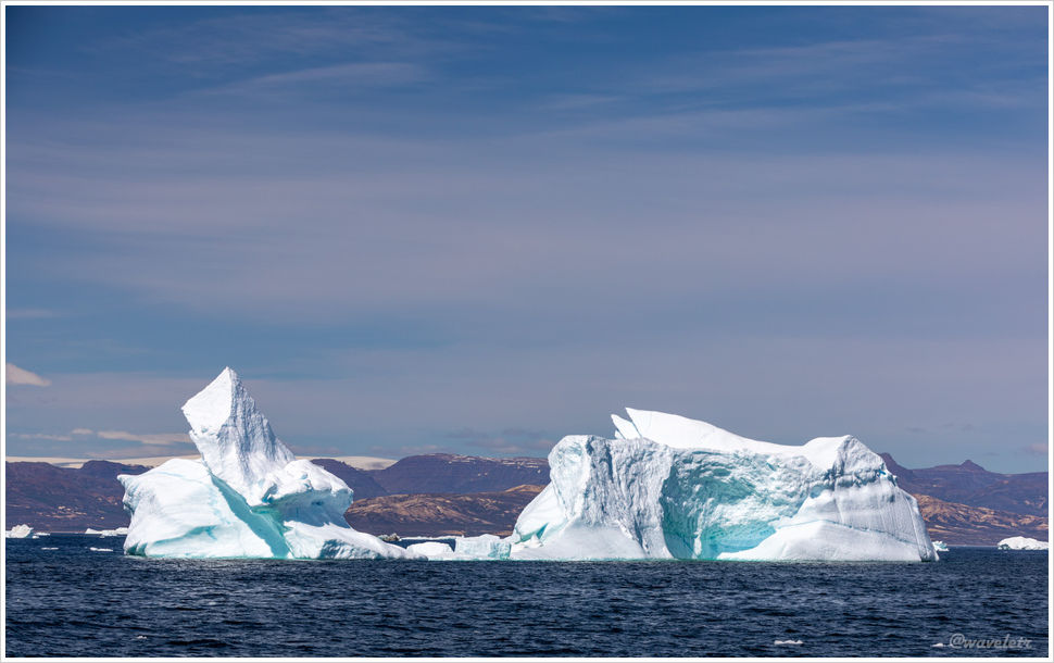
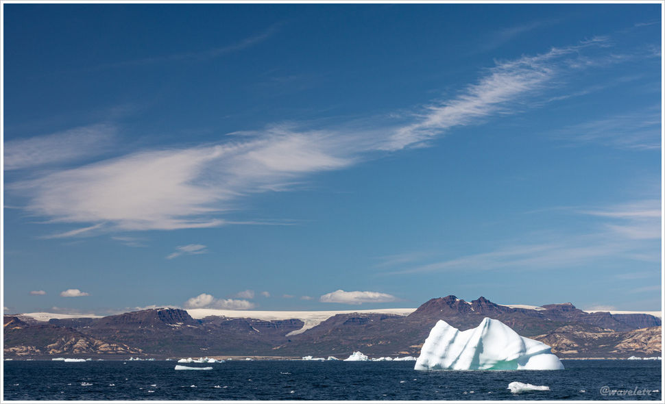
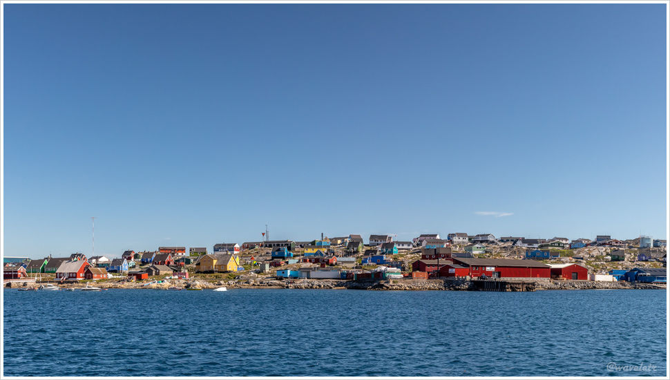
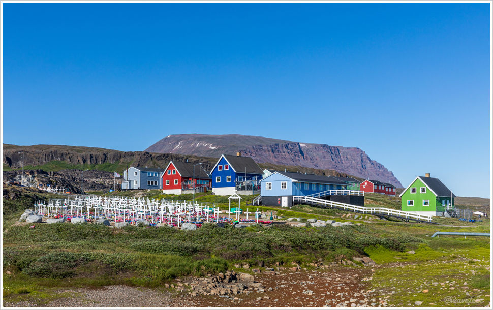
Ilulissat is located on the west coast of Greenland and, while not the capital, it is the most famous city in Greenland. This is mainly due to the nearby icefjord being designated a UNESCO World Heritage site in 2004. Ilulissat means “icebergs” in Greenlandic. Humans have inhabited Ilulissat for over 4,000 years, relying on fishing and hunting for their livelihoods. In recent decades, tourism has gradually become the main industry in the area.
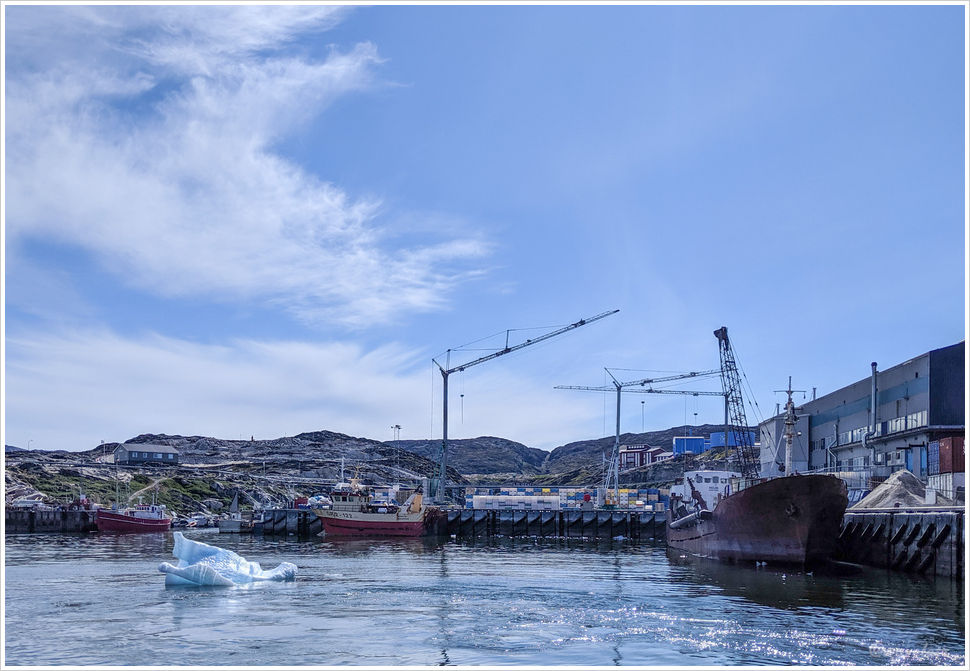
In the afternoon, we took a walk along the sea on one side of the small town. Ilulissat is located at the deepest point of Disko Bay. There are many small towns around Disko Bay, some of which may only be called settlements, and residents travel between these cities by boat. Once out of the city, there are no roads between the cities of Greenland. There is a Zion Church facing the bay. The church was built in 1779 and is one of the oldest churches in Greenland, and also the most photogenic place in Ilulissat. In addition, we visited a small museum near the church.

Zion\'s Church, Ilulissat, Greenland

The Ilulissat Museum, Ilulissat, Greenland

The Ilulissat Museum, Ilulissat, Greenland
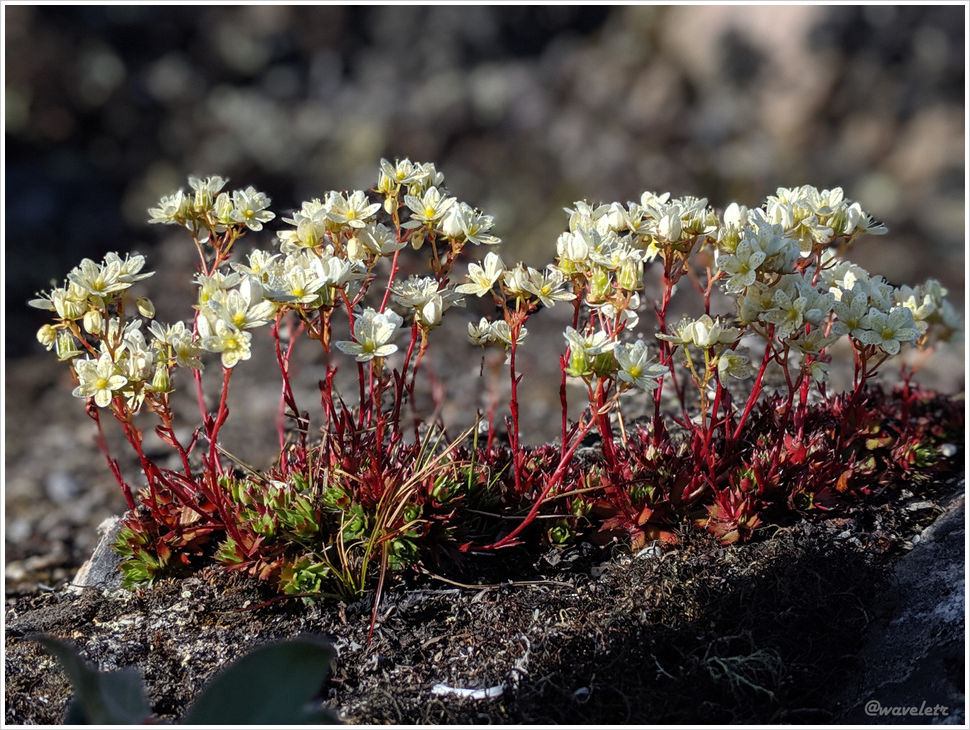
It is late June, the warmest season in Ilulissat, and the city is full of wildflowers in various colors, mostly red, yellow, and white. The most striking one is the cotton grass, also known as the Cotton Grass. Its flower is a white fluffy ball, mainly grown in the cold regions of the Northern Hemisphere, and grows low in clusters, making it quite distinctive.

Zion\'s Church, Ilulissat, Greenland
The dinner at the hotel was very sumptuous, with fresh and beautifully cooked seafood. However, the day’s activities were not over yet. Ilulissat is located 300 kilometers inside the Arctic Circle, and at the end of June, it is the polar day in the northern hemisphere, with no sunset. Our tour has just begun.

Dinner at Hotel Icefiord, Ilulissat, Greenland

Dinner at Hotel Icefiord, Ilulissat, Greenland