The Last Place on Earth – The Southernmost Post Office
2012.1.1“Good morning! Good morning! Good morning!”. This is the third time that Stefan woke us up in the trip.

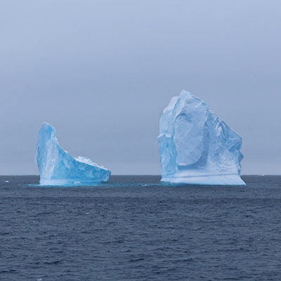
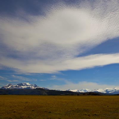
It’s 6am. Although it’s still quite cloudy at where we were, at the horizon where the mountains pierced through the cloud, we could already see the blue sky. We were sailing towards Lemaire Channel. Suddenly, the ship shook with clashing sound. “Did we hit the iceberg?” Yes, we did, but small ones. Disc-shaped ice floes covered the sea as far as the eye could see. With the strengthened hull, the ship crashed through the pack ice.

At 7am, we sailed into the Lemaire Channel. The channel is about seven miles long and one mile wide. We had not seen the blue sky for 3 days but we were so lucky that we had a beautify day when we were sailing at the most beautify route of our voyage. No one on the deck made any sound. We just watched these breathtaking mountains and their reflections over the tranquil sea gliding through our eyes.


Our first intended landing site was Peterman Island, this would be our southernmost landing site of the trip, and the southernmost Gentoo Penguin colony. However, after we sailed out the Lemaire Channel, the Captain and Stefan decided to turn around because there were too much ice in the sea and it’s very unlikely we could reach the islands. As the ship was making the turn, we spotted a Leopard Seal at starboard. We got a quite good look at it but the seal was not impressed by the ship. It looked up, turned and went back to sleep. Don’t be fooled by its innocent look and lazy moves, Leopard Seals are the top predators in the Antarctic water.


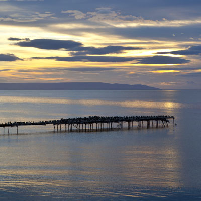
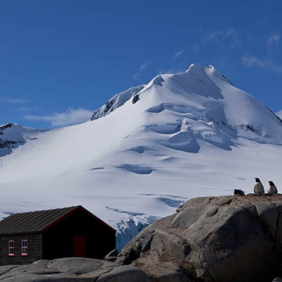
We arrived at our next landing site before lunch. Port Lockroy small harbour that was used as whaling station after it was discovered in 1904 and later used as a military base for British government during WWII. The station was renovated and converted to a museum by the United Kingdom in 1996.


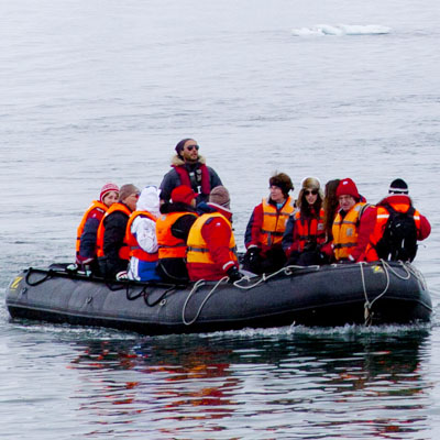
Volunteers from UK come here and spend the summer in the station. At the time we visited the harbour, there were 4 ladies living in the station. Our zodiac took them to the ship and had a lunch with us. We were all very curious about what they do for their everyday lives. In fact, telegraph is the only way for them to communicate with the outer world, no radio, let alone TV. There is no running water and no boat for them to even reach the nearest island, so they must melt snow and reserve water. The only chance they can have a shower is to get on the tourist ship like ours. I guess during the summer time, tourist ships visit the harbour quite often so at least they can have decent meals occasionally. When asked why she chose this job, the lady at our table answered, “I wish to make some deference.” I don’t know how much this is from her heart and how much it is because of the politically correctness, but it is a respectful task she is taking as an individual.

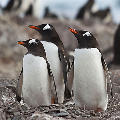
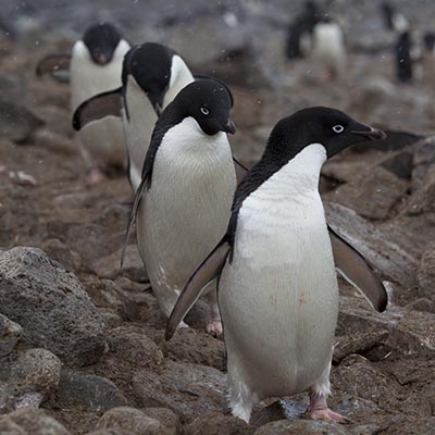
After lunch, we were first taken over to Jougla Point to see some Gentoo Penguins and Blue-eyed Shags – their backs are also in black and underparts are white, look quite similar to Penguins. The beach has a reconstructed whale skeleton and offers a perfect view of the harbour and surrounding mountains.


From Jougla Point, the zodiacs took us to Goudier Island, where the British base is operated. Besides a museum and a souvenirs store, the base also has a post office in operation. Many people bought, wrote and posts cards from the southernmost post office of the world. The sun was shining. It’s a gorgeous day.


We left Port Lockroy at 4pm and sailed north through Neumayer Channel and then entered Gerlache Strait for our next destination, Deception Island.