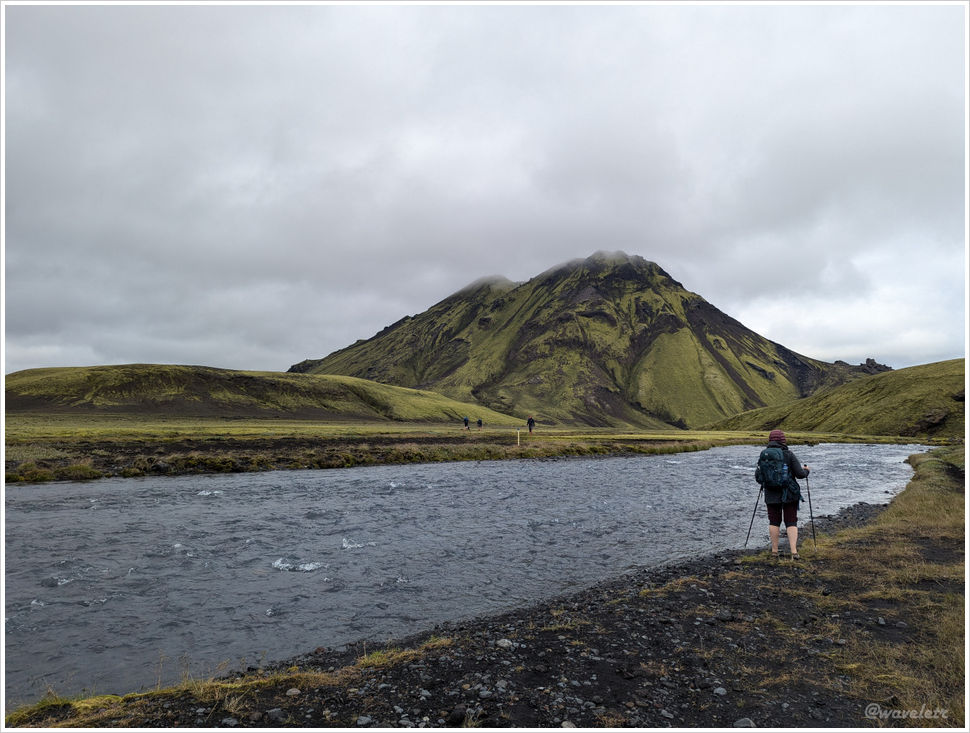
2024.8.12Day three of the Iceland highland trek. The forecast called for afternoon rain, so we decided to set off at six in the morning. Crossing a stream and looking back at the Álftavatn camp, a cluster of tents was visible on the left. Mountain huts along the Laugavegur Trail can be booked through the official website. There are only a handful of huts with limited beds, and they typically sell out by early in the year. But joining the waitlist and checking in from time to time usually turns up cancellations. I didn’t start reaching out until March and still managed to secure beds at every hut. Bringing your own tent, of course, removes that constraint entirely.

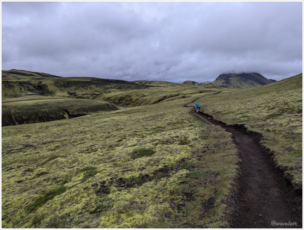
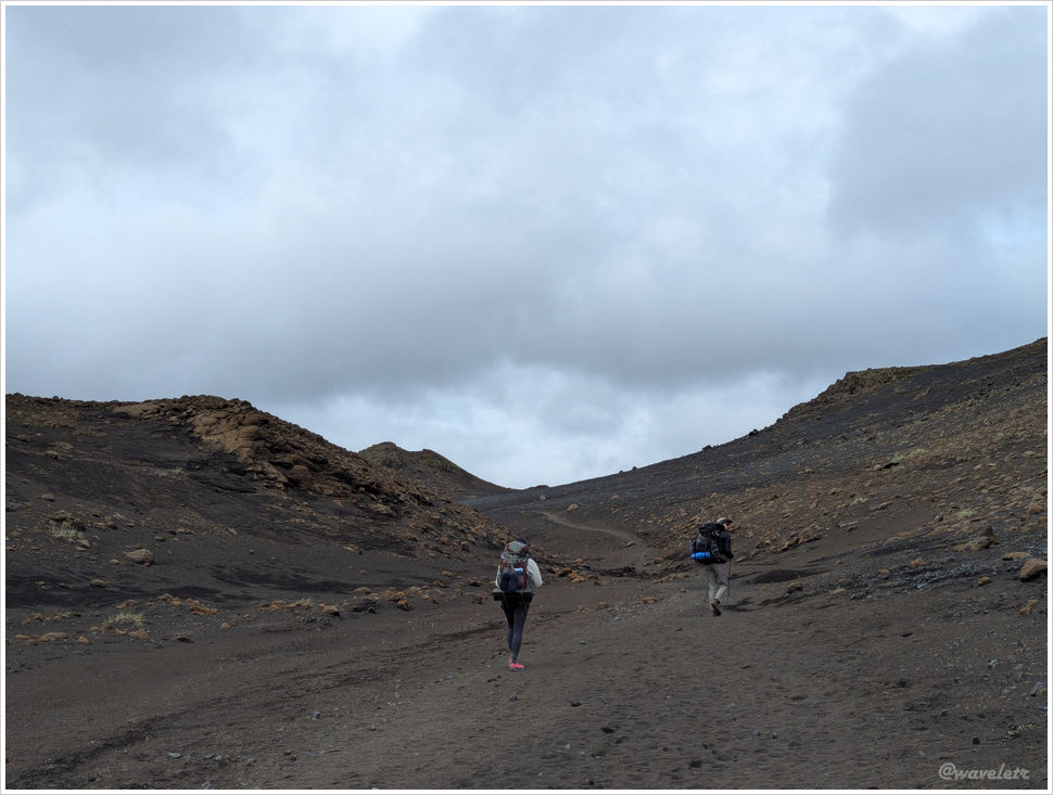
The trail began with a gentle incline. There are four rivers along this route that must be forded on foot. After half an hour of walking, we reached the first. The water was about a foot deep, below the knee. It’s an easy barefoot crossing.
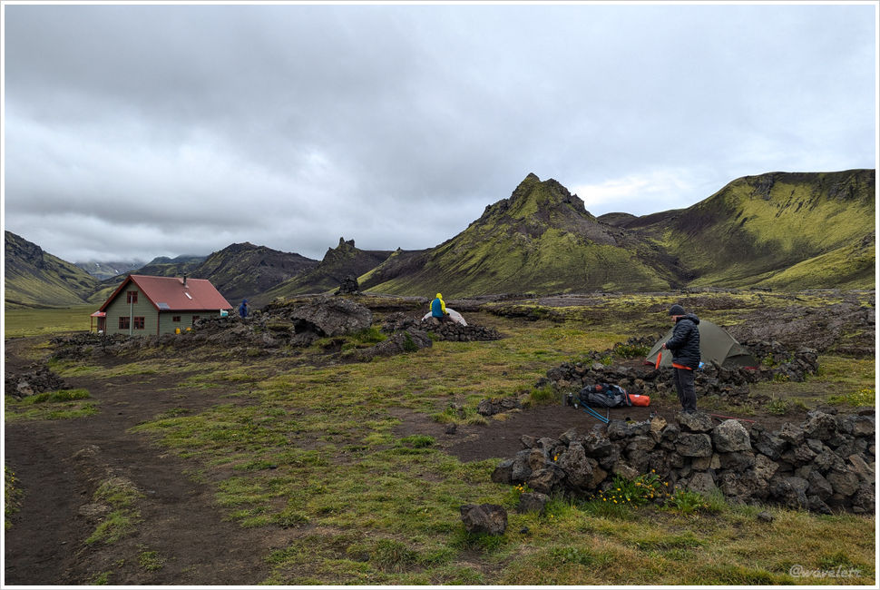
Past the river and over a low rise, we reached the Hvanngil hut – the one I had spotted from the hilltop the day before. I launched the drone here. A tender green valley sat ringed by dark, volcanic mountains, their jagged peaks evoking Middle-earth from Lord of the Rings. The sky hung overcast, yet shafts of light kept breaking through the clouds to illuminate the slopes, otherworldly and cinematic.

Another half hour brought us to the second river. The current ran faster, but the water was shallow.
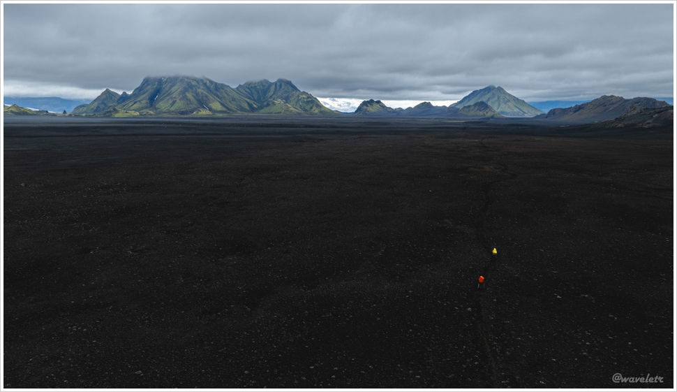
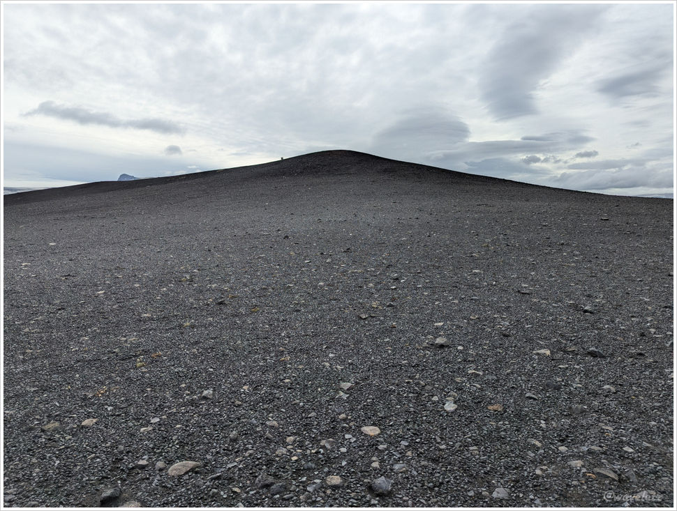
Day three covers the longest distance, 16 kilometers, yet is the easiest. From the Hvanngil hut onward, the route crosses a valley floor: over 10 kilometers of flat, open terrain. We were lucky with the weather. Under a blazing sun, or in rain and snow, this exposed stretch with no shelter and nowhere to stop would be a serious challenge.
From the drone, the landscape below was a vast black desert. Two hikers, one in red and one in yellow, moved slowly across it, a scene with an almost epic quality.
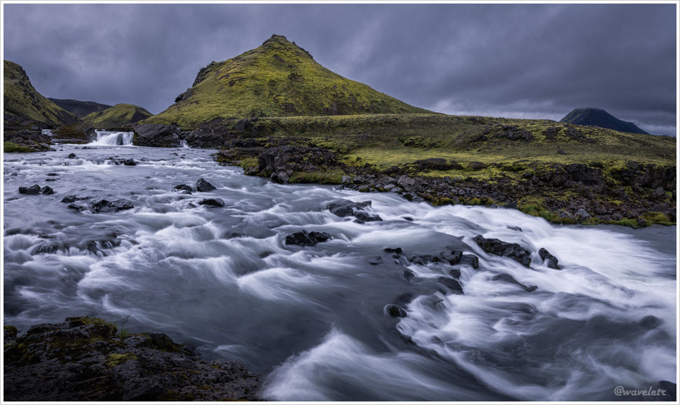
The next river had a strong current and heavy flow, spanned by a footbridge. This is roughly the halfway point. Many hikers stop here to rest.

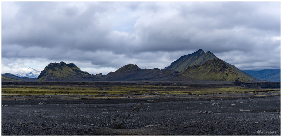
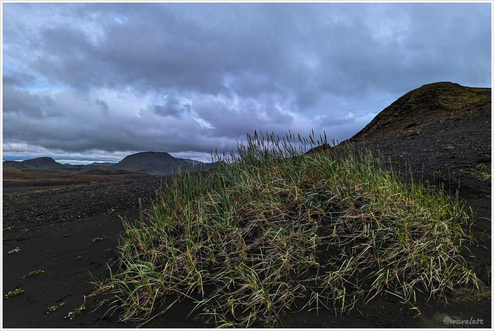
About three kilometers from the Emstrur hut, the trail entered low hills again. The ground was still black sand and gravel. There was no green lichen, just scattered tufts of dry grass.
The Emstrur hut is tucked into a hollow, invisible until you’re nearly on top of it. I arrived around noon – six hours for 16 kilometers.
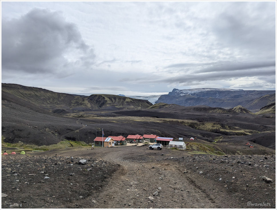

The hut has three sleeping rooms and a separate shower block. Each room fits 20 people on two tiers of platform bunks, five per tier, each slot less than two feet wide. It is the most cramped of all the huts on the trail, though this is fairly standard for traditional European mountain refuges.
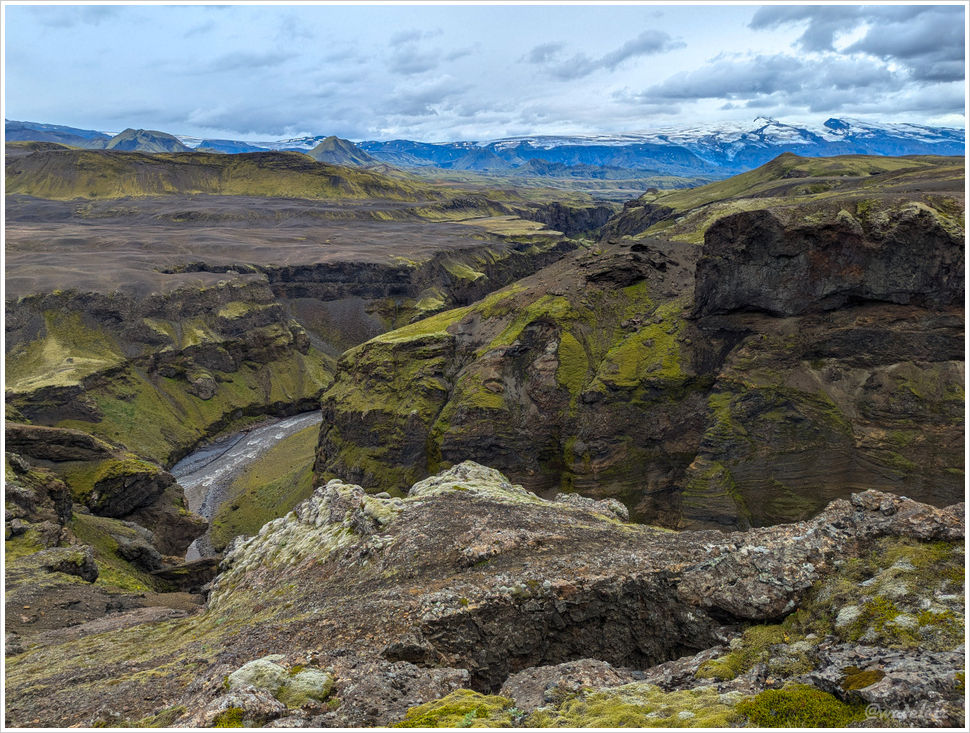
A short side trail near the hut leads to the Markarfljót river canyon. At its deepest, the gorge plunges 200 meters, sheer cliffs on both sides, which makes you awed by the river’s carving force. The Markarfljót is a major river in southern Iceland. In the highlands, hemmed in by mountains, it runs narrow. Beyond the trail’s endpoint at Þórsmörk, it fans out wide, which is precisely why private vehicles can barely reach Þórsmörk – crossing this river is too dangerous.


After exploring for a while, the rain arrived as promised. We dashed back to the hut. A few bunkmates had brought board games. We joined in, shouting, scheming, sabotaging each other, a noisy, delightful way to spend the rest of the day.