2019.7.5We couldn’t find a good hotel in Klaksvík, so we booked a one-night stay at a guesthouse in Leirvík on the other side of the tunnel. The guesthouse was a privately run two-story house with several rooms, operated by the owner. (That was back in 2019, though, it may have since been renovated or acquired by a rental company.)
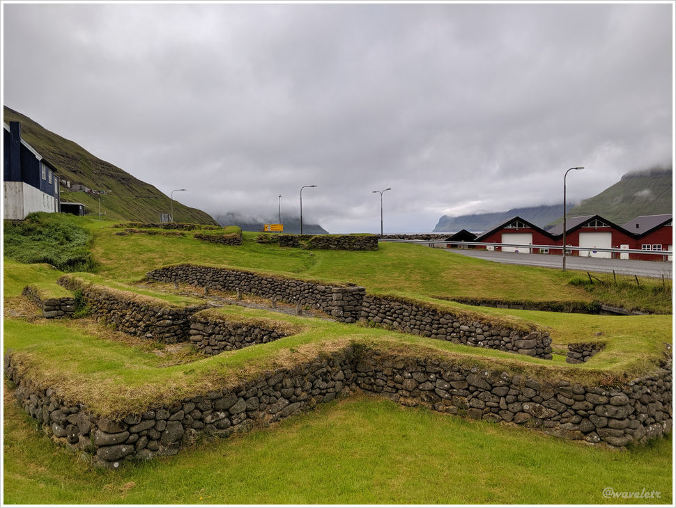
Klaksvík is a very small town, with only about three or four streets. By the roadside, there’s a site with remnants from the Viking era, dating back to around the 9th to 11th centuries when they first settled in the Faroe Islands. The town mostly consists of residential houses, with only a few shops, but there is a nice bowling alley. We sat down to watch people play, and although we had already eaten something earlier in the afternoon, we couldn’t resist ordering a few pieces of fried chicken for dinner.
Our ferry was scheduled to depart at 10 o’clock. Early the next morning, I got up to take a few sunrise photos near Leirvík. By the roadside near the fjord, there was a patch of wildflowers, their colors vibrant in the soft morning glow.

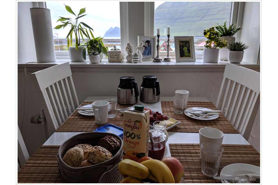
The owner of the guesthouse prepared nice The breakfast for us. When we mentioned the ferry to Kalsoy, the host didn’t seem concerned at all, “Arriving ten minutes early is more than enough,” she said.
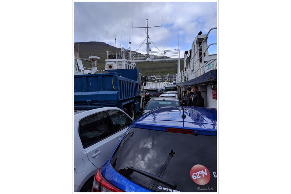
Fortunately, to be on the safe side, we arrived at the Klaksvík ferry terminal 50 minutes early, only to find more than a dozen cars already lined up. The ferry wasn’t a large, multi-deck vessel; it looked more like a tugboat and could hold at most 20 cars. As departure time approached, the cars boarded one by one. In the end, we barely made it. Our car was the last one to squeeze on, brushing left and right as it inched aboard. The vehicles behind us had no choice but to wait for the next ferry, an hour later.
After leaving the narrow harbor of Klaksvík and crossing the fjord, we soon arrived at the port of Kalsoy Island. In the local language, Kalsoy means “man island,” while the neighboring island, Kunoy, means “woman island.”

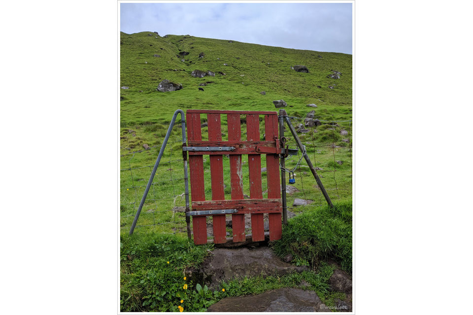
Our destination was the village of Trøllanes at the northern tip of Kalsoy Island. From there, it’s about an hour’s hike to the Kallur Lighthouse. The drive from the port to the village takes around 30 minutes and includes a stretch through a single-lane tunnel. After parking in the village, we soon spotted the red gate mentioned in many travel guides to the left, not far from the road. That’s where the hiking trail begins.
We walked along a hillside path with a gentle incline. Looking to the right, we could see Kunoy Island and the northern tip of Viðoy Island, where we had hiked the day before. The sky grew increasingly overcast, with occasional light rain. All we could hear were the sounds of wind and waves. The timeless mountains, sea, and wind felt cold and solemn, as if time itself had come to a standstill.
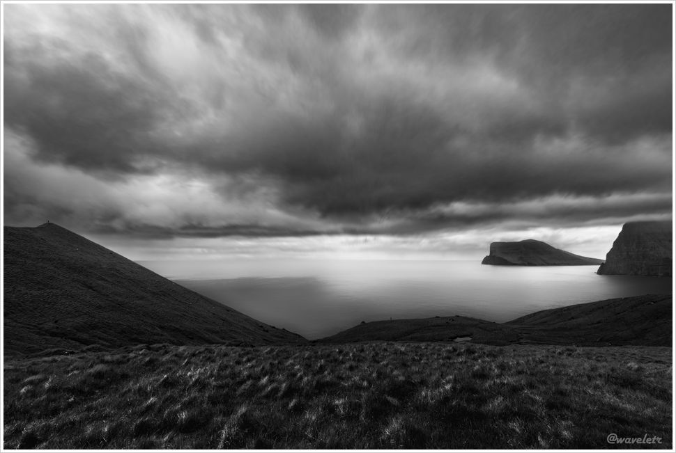
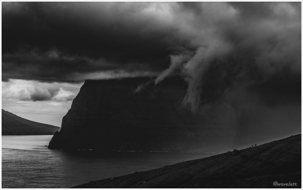
The Faroe Islands were formed 50 to 60 million years ago, during a period of intense volcanic activity as they gradually separated from Greenland. Layers of basalt, created by cooled lava, and softer volcanic ash were deposited alternately, forming the island’s distinctive geological strata. During quieter volcanic periods, vegetation was able to grow, only to be buried and compacted by later eruptions, eventually forming coal deposits. This cycle repeated many times until the shifting tectonic plates slowly moved the Faroe Islands away from the volcanically active zone.
At the end of the trail stands the Kallur Lighthouse. The Faroe Islands actually have quite a few lighthouses, but Kallur is famous not only because it’s built atop a cliff, but also because, when viewed from the right side, the towering wedge-shaped mountain peaks behind it pierce the clouds – a breathtaking sight. The Faroe Islands are known for strong winds, especially atop these high cliffs. With light rain falling from the sky, the path leading to the small hill on the right was quite slippery, requiring us to crouch down and use both hands and feet to safely make our way across.
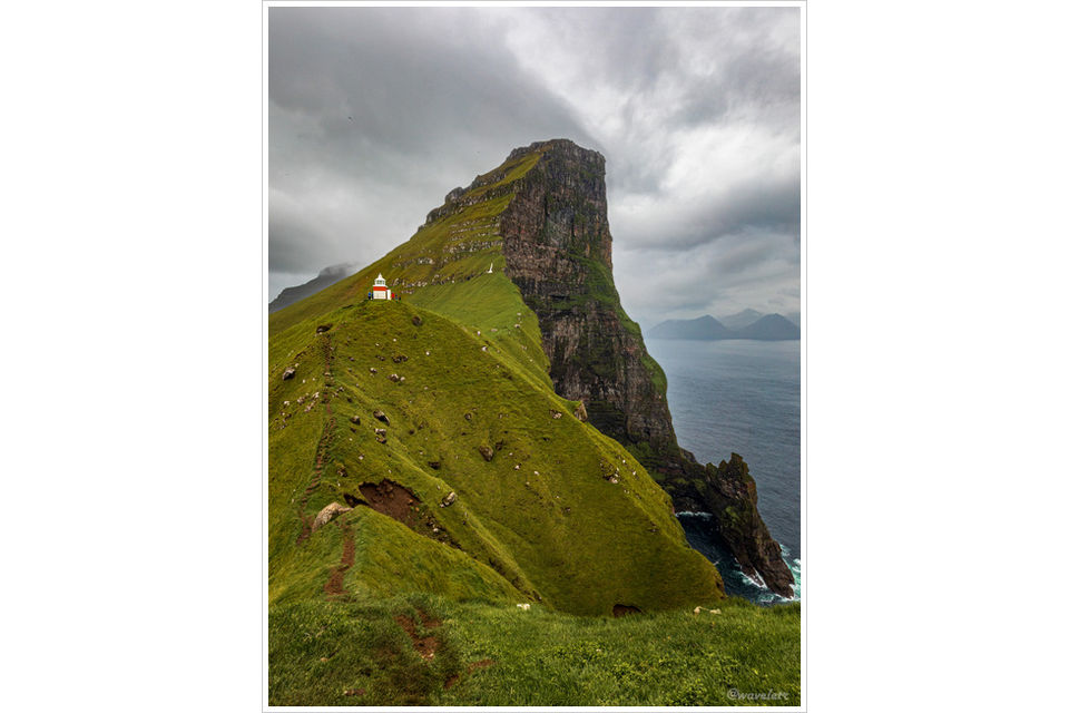
You can walk along the cliff to the other side of the lighthouse, where a narrow ridge juts out over the water with a sheer drop of several tens of meters. From here, looking past the lighthouse, you can see the northernmost tip of Eysturoy Island, with waterfalls plunging into the sea and rock pillars rising from the water’s surface.。
Kallur Lighthouse is one of the most iconic sights in the Faroe Islands. Standing atop the high ridge feels like standing at the edge of the world, surrounded by endless space in every direction. Past and future seem to vanish, and the moist sea breeze sweeps away the dust of the mundane world, leaving the spirit both full and somehow empty.。


We set off on the journey back. The rain had made the trail muddy and slippery, making every step a careful one, but we finally reached the starting point. On our way back, we had planned to stop by “the Seal Woman” statue, but somehow we couldn’t find it. We then waited for the ferry to return, as tonight we would be staying in Tórshavn.
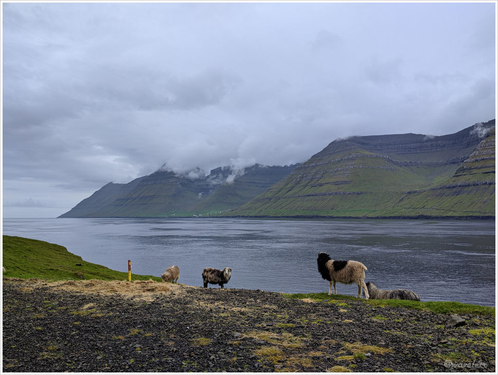
Approaching Tórshavn, the sun finally broke through the clouds, casting warm light over the land. From this vantage point, we could take in the full panorama of the city.

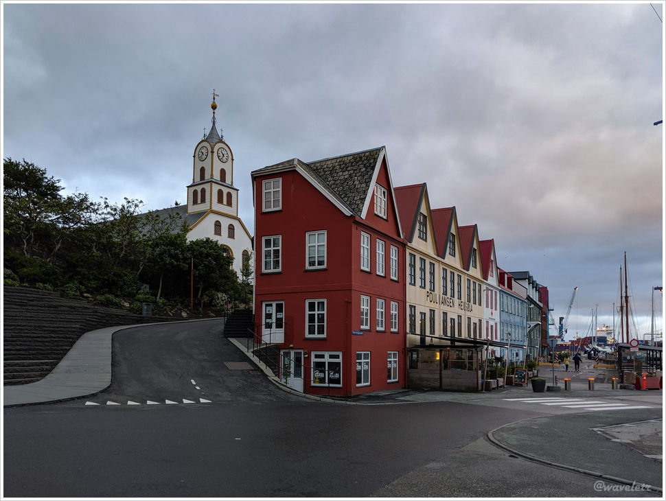
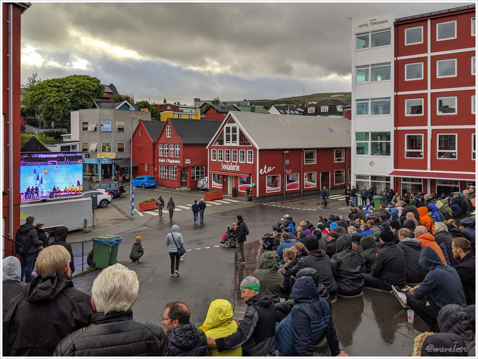
After a short rest, we headed to the city center for dinner. Passing by a small square, we saw the outdoor steps packed with people watching a handball match on a big screen. One of the teams was from the Faroe Islands. Light rain fell intermittently, but the crowd was undeterred, cheering passionately for their team.
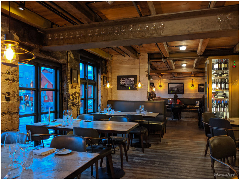
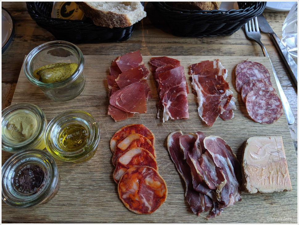
For dinner, we chose TARV, a spacious two-story restaurant by the harbor. I ordered a platter of local Faroese cured meats. It was decent, nothing too adventurous.
