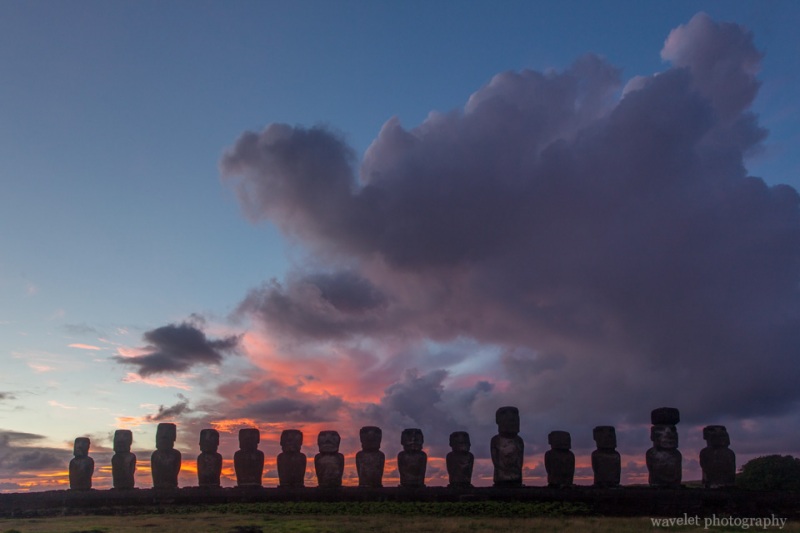
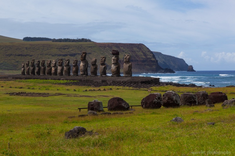
2014.3.20Hadn’t got the best picture of sunrise at Ahu Tongariki, I planed to go there again. My wife wanted to go with me this time. Knowing the route already, we left the lodge at 7:30am, later than the previous day. It took us a little more than a half hour to get there. Unfortunately, the sunrise was not as good as yesterday. Cloud at the horizon turned to bright and red for a short period of time then got pale again. We didn’t even see the sun, but we did play around and took many pictures after most other visitors left.
Our plan was to see Rano Raraku in the morning. We already have the ticket. The ticket is only valid to enter Orongo and Rano Raraku once each. At the entrance, the ranger stamped the ticket. The trail splits after a short walk. Most original moais are on the right; to the left was to the crater. We decided to go to the crater first.
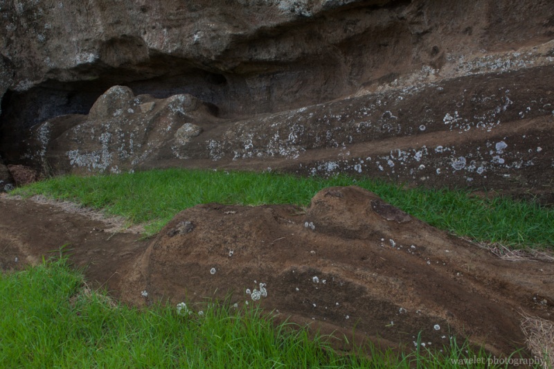
The trail runs up gradually and gently. For 5 minutes, the trail makes a right turn. A steeper slope leads to a gap in the western end of the crater wall. Right at the bottom of the slope, it’s a huge prone moai. Climbing up to the slope to enter the crater, the crater center is occupied by a lake, another one of three natural source of fresh water on the island. Unlike the crater lake of Rano Kau, the lake is not covered by the plants. The inner slope is mild and verdant.
The cloud has been thick. It’s drizzling as we left the crater. I felt the rain was coming so we walked back to the entrance, then the drizzle became a pour. Good we didn’t go to the other side. Sheltering from the rain that the entrance for a while, we decided to go back to town to have the breakfast. We’d not rush on this casual island. The ranger was not in the kiosk at the entrance, only a young man there reading a book. We asked him to put a note on our tickets.
It’s already 1:30pm as we returned to Rano Raraku. It’s still partly cloudy but with a lot of blue sky. The weather on the island varies all the time. The rains often come and go, last no more than 15 minutes.
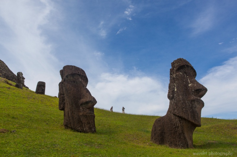
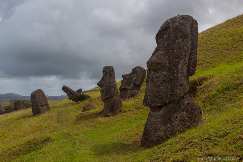
Rano Raraku is the birthplace of almost all 887 moais that have ever been built by the Rapa Nui. Only half of them were transported to the ahu and ceremonial sites, the rest were either unfinished or abandoned. After centuries of erosion, those who were left behind are now buried by ashes and dirt at the south slope of Rano Raraku. The quarry becomes such a unique place where these deserted giants evokes more ancient feelings than those who stand.
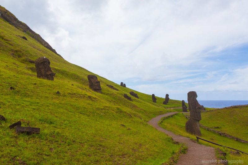
Moais are scattered at both sides of the trail. Some of them stand but are buried to their busts and necks, others are lying or tilting around.
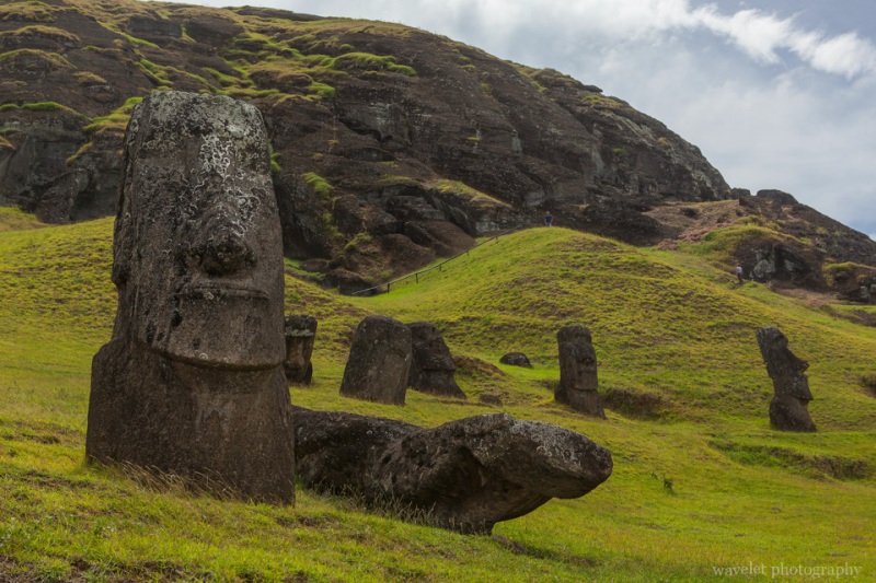
Right after passing a lookout point, we reached maybe the most photographed moais, Hinariru, on the island. They are sometimes called “the moai with the twisted neck”. I’d also call them the moai with contempt face.
Along the base of the volcano, there are many moais half-buried or failed over. It’s really like a scene of prehistory.
Walking uphill on the trail, we saw several uncompleted moai still in the process of being carved out from the volcanic rocks. Among them, there is one moai that is twice the size of the largest standing moai. It was never finished, probably because its size and weight make transportation impossible with diminished resources. The following are two large moais. By studying them, people learned how these moais were made.
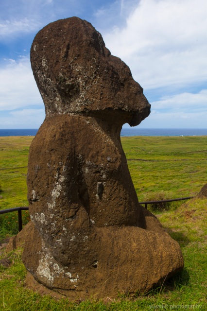
Walking down the slope, we saw a moai unlike any other classic one. It is called Tukuturi, in a kneeling position with its hands on the legs. It also has a small beard and buttocks can be clearly seen. More distinctively, it is made by the reddish stone at Puna Pua, the origin of moai’s topknot, and moved here. It’s unusual and more realistic posture indicates that it might be the one of the last moais ever made.
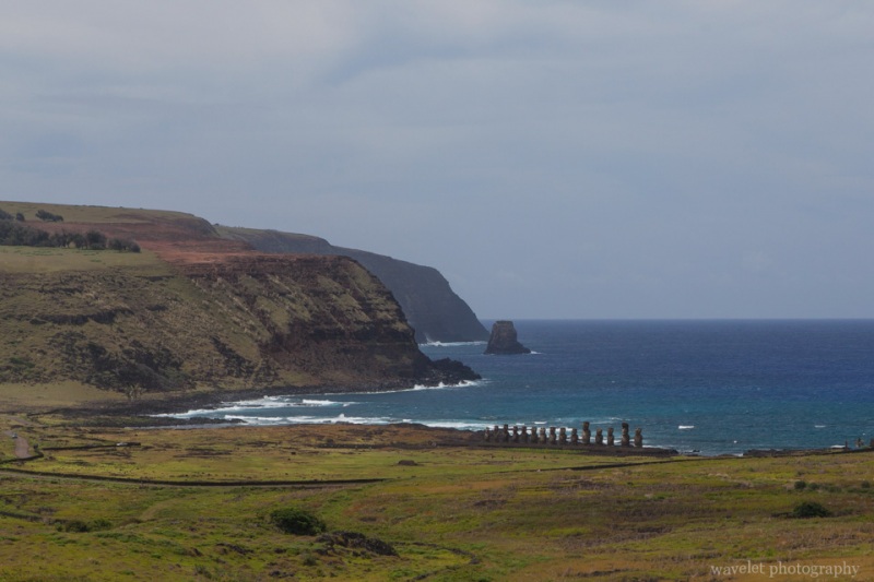
Going further passing Tukuturi, there is a view point. The easternmost volcano of the island, Poike, and Ahu Tongariki are clearly visible.
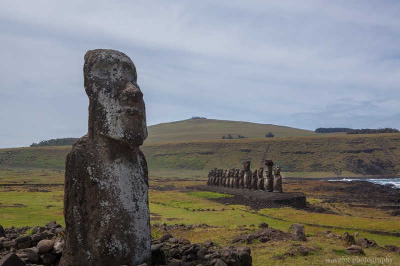
We turned back and returned to our car at 2:30pm. We made a brief stop at Ahu Tongariki. There were only a few visitors at day time. Right next to the entrance stands a moai. It’s often called “Traveling Moai”, maybe because it has been toured around the world.
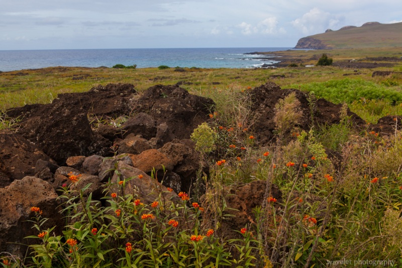
We kept on driving along island’s northeastern coast. After passing Poike, just like the southern coast line, there are many deserted ceremonial sites and villages dispersed by the ocean.
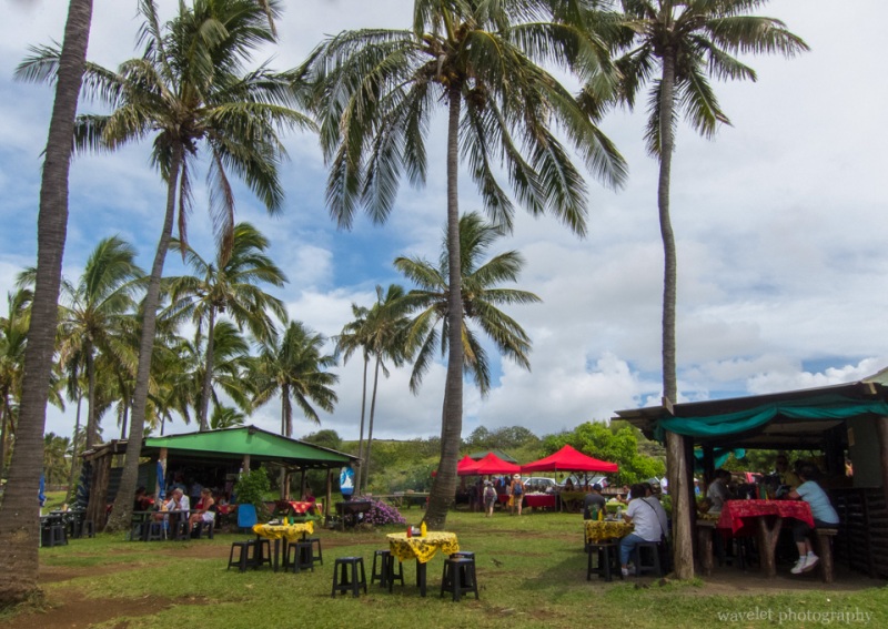
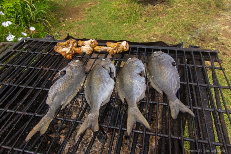
It’s definitely more than 80°F as we driving toward Anakena beach. As we reached the beach, we felt some rest was much needed. Anakena beach is the only beach that swimming is allowed. Unexpectedly, there is a palm grove by the sea. Under the trees, several temporary huts provide lunches for visitors. Sandwich, fruits and drinks were served, but grilled chicken and fish were the most delicious.
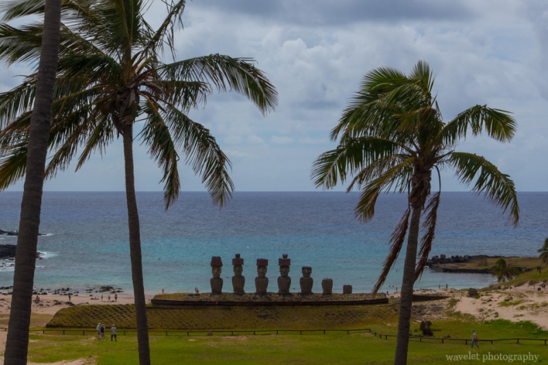
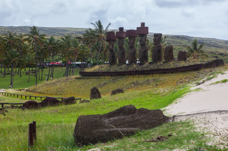
Anakena has two Ahus, a single moai named Ahu-Ature at the right, and Ahu Nao-Nao, several moais, four of them with topknot (pukao), in the central of the ceremonial site. There are several moais lying on the ground. With the white beach stretching all the way to the back of the ahu and surrounding coconut palms as the background, this is a Polynesian-looking paradise.
Going directly back from Anakena to Hanga Roa only took us 20 minutes. The road runs through mild hills right across the middle of the island.
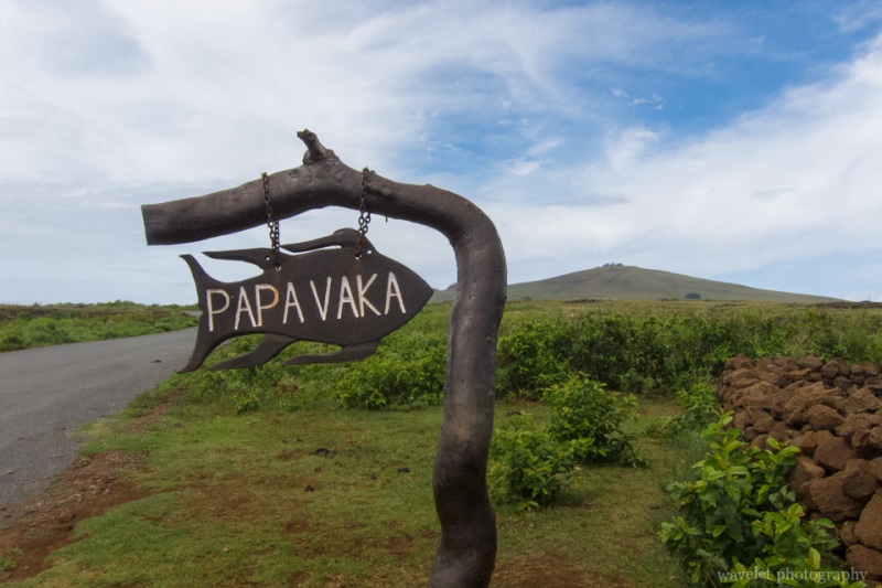
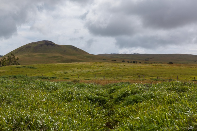
After having some rest, we went out again to another major site that we had not visited, Puna Pau, where all of pukao came from. Just take the only road leaving the town, drive 2 more minutes after passing the right turnoff that leads to Rano Raraku, and make a left turn at “Puna Pau” sign. It only take a couple of more minutes to get a small parking lot at the bottom of the hill.
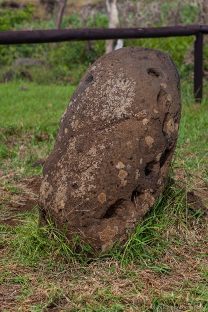
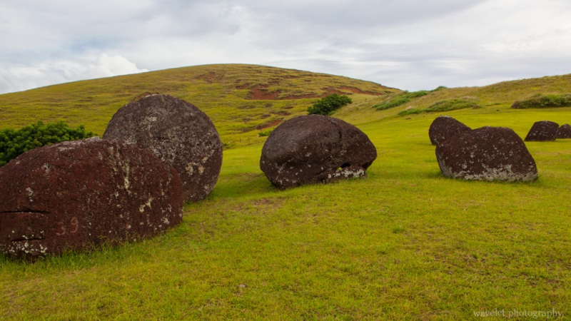
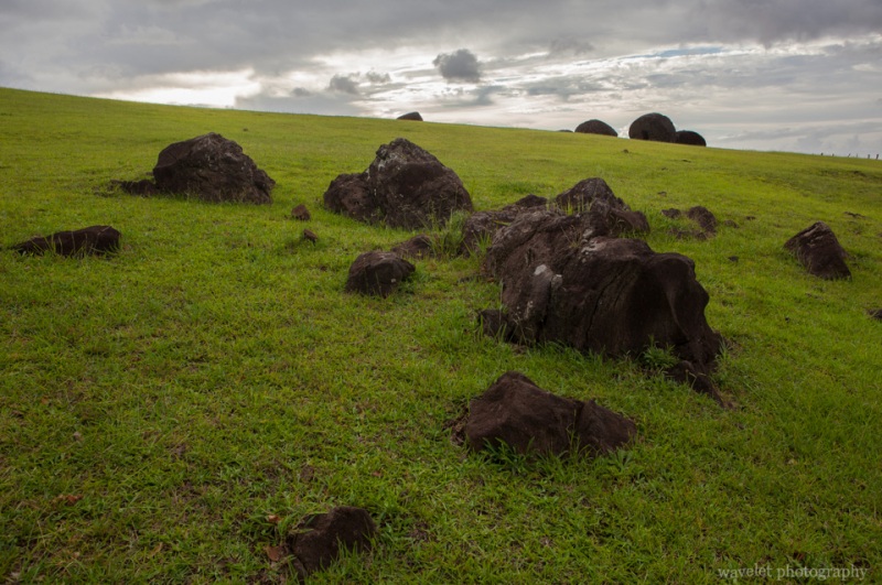
Pukao were made by red scoria rock. You can see some of these giant column scattered on the slope of the hill. On the top of the hill, there is a small crater. This is where the quarry is. Every scoria rock is marked by a number. There are about 100 of them found on the island. The hilltop also offers a nice view of Hanga Roa and the surrounding area.
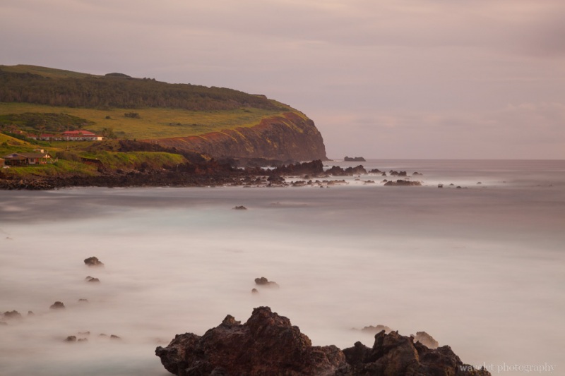
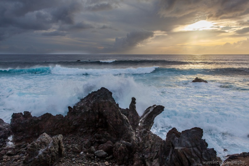
Returned to Hanga Roa, we stopped at southern side of the down by the sea, near the port Hanga Piko. It’s about 8pm. The sun was low at the horizon and waves moved in. It’s a good surfing place.
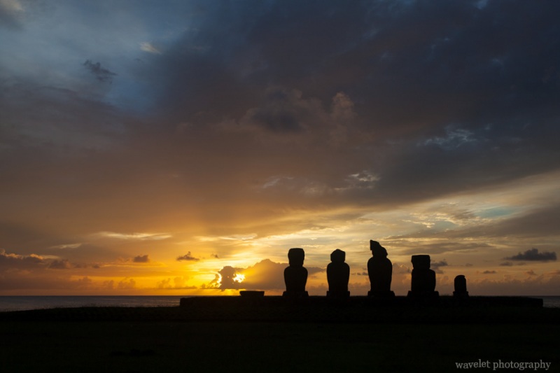
We went to Tahai again to watch the sunset. I thought the previous day’s sunset already couldn’t be better, but I was wrong. It’s glorious.
We had dinner at La Kaleta restaurant. It’s located at the far end of the harbor of the central of the town. The dinning area is open to the sea. Great view and nice food.
