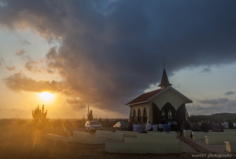
2014.4.5I got up in the dark and went to Alto Vista Chapel again. Crosses are erected along the road leading to the chapel. This time, a group of prayers gathered by the road and walking slowing towards the chapel.
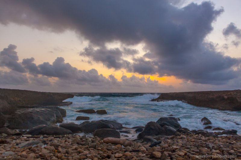
It’s about 5:30am. The sky was cloudy, it’s not possible to see the sun rising on the horizon. The eastern side of Aruba is constantly attacked by trade winds from the Atlantic, waves moved in and hit the shore fiercely. Before the sun rises up, it’s quite foggy by the coast.
I returned to the Alto Vista Chapel. Prayers were sitting on pews, listening to the priest. Isn’t this spiritual?
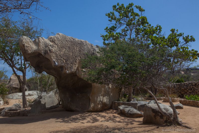
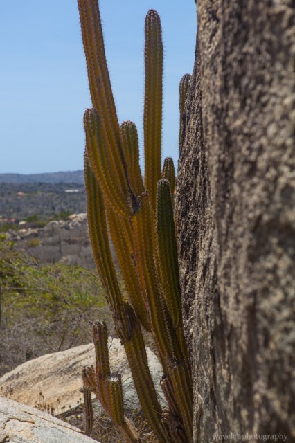
Our plan of the day was to explore island’s inland and eastern region. The inland of Aruba is almost featureless. The highest hill is only 617 ft (188 m). However, there are several unusual sites of rock formations scattered at the heart of the island. They are unique in that, the rocks, unlike those with volcanic or coral origins allover the island, are monolithic tonalite boulders, rising above the desert soil.
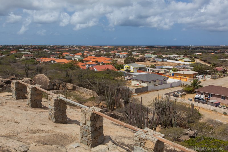
We first stopped at Casibari Rock Formations. Steps were built to allow visitors to climb to the top of the boulder, which provide a panoramic view of the island.
A little to its east, it’s Ayo Rock Formations. The area is bigger than Casibari, with more strange-shaped rocks.
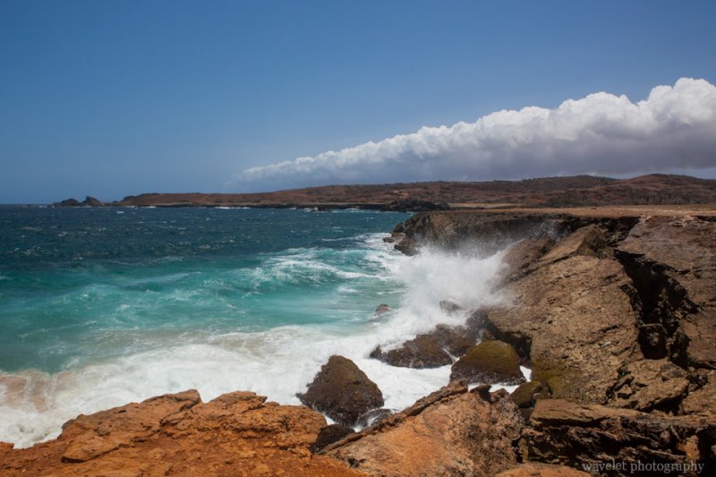
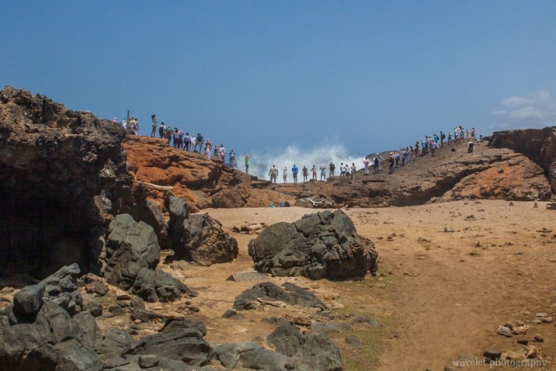
We kept on driving to one of Aruba’s most popular attractions, Natural Bridge. The last part of the road is unpaved, but it’s very easy to drive. The bridge was a formation of coral limestone, spanned more than 100 feet. It actually collapsed 10 years ago, but the view is still impeccable. Facing the open sea at Aruba’s very north shore, with lashing waves crashed over stark rocks violently, against the backdrop of dreamy sky in deep blue color. There were some good photo opportunities.
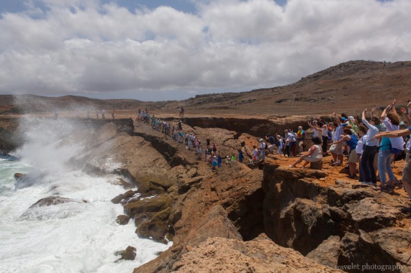
There is a bar on site overlook the collapsed bridge. A group of tourists came and the guide asked them to line up on top of the bridge. They were singing and dancing and really making a lot of fun of it.
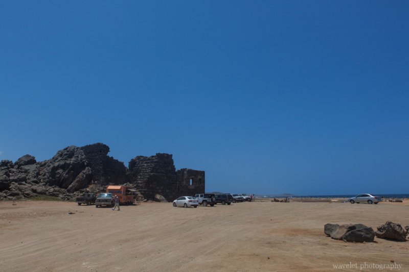
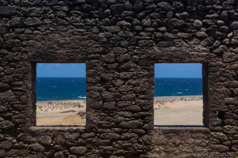
1.5 miles northwest to the Natural Bridge, it’s Bushiribana Ruins, an abandoned gold mill that was once used to process ore from mines in the nearby hills. It’s built in 1825, less two hundred years ago, but probably because of the stark contrast to its surroundings, the ruins invokes feelings of much older history.
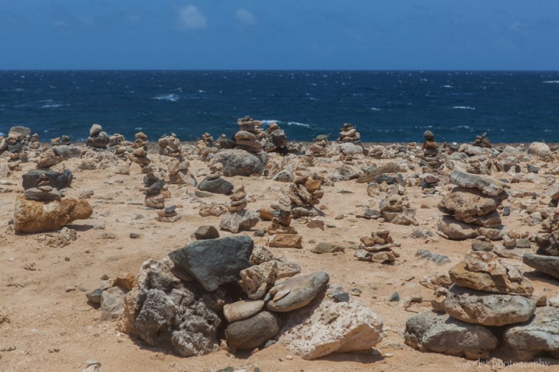
Near Bushiribana Ruins on the beach, there is a site where people stacked rocks up, and over time became the Wish Rock Garden. The similar scenes can be found in many places at Aruba’s northeastern coast.
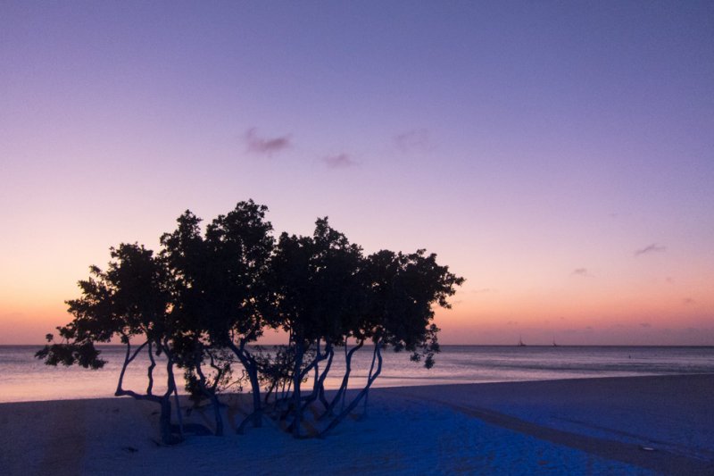
We had the late lunch at La Trattoria el Faro Blanco by the California Lighthouse, then retired to our hotel. At the evening, we had the farewell party on the beach again. My wife’s company was quite generous to reward top performers, but someone has to write a big check for it.
We left Aruba in the second day morning. Most tourists in Aruba are Americans, so Aruba has an agreement with the United States government to have US Customs at the airport. This time, we had the connection flight at JFK airport, and we returned to our home in the afternoon.
